
Ontario Highway 26 (King's Highway 26)
A provincial east–west route along southern Georgian Bay, Highway 26 links Owen Sound with Barrie and, via Highway 400, forms a key corridor to the Greater Toronto Area.
Overview
Ontario Highway 26, commonly called King's Highway 26, is a provincially maintained route in Ontario, Canada. It runs roughly east–west along the southern shore of Georgian Bay, connecting the city of Owen Sound at its western end with the city of Barrie at its eastern terminus. The highway measures about 113.7 kilometres in length and serves both local and longer-distance travel needs.
Image gallery
8 Images




Route and characteristics
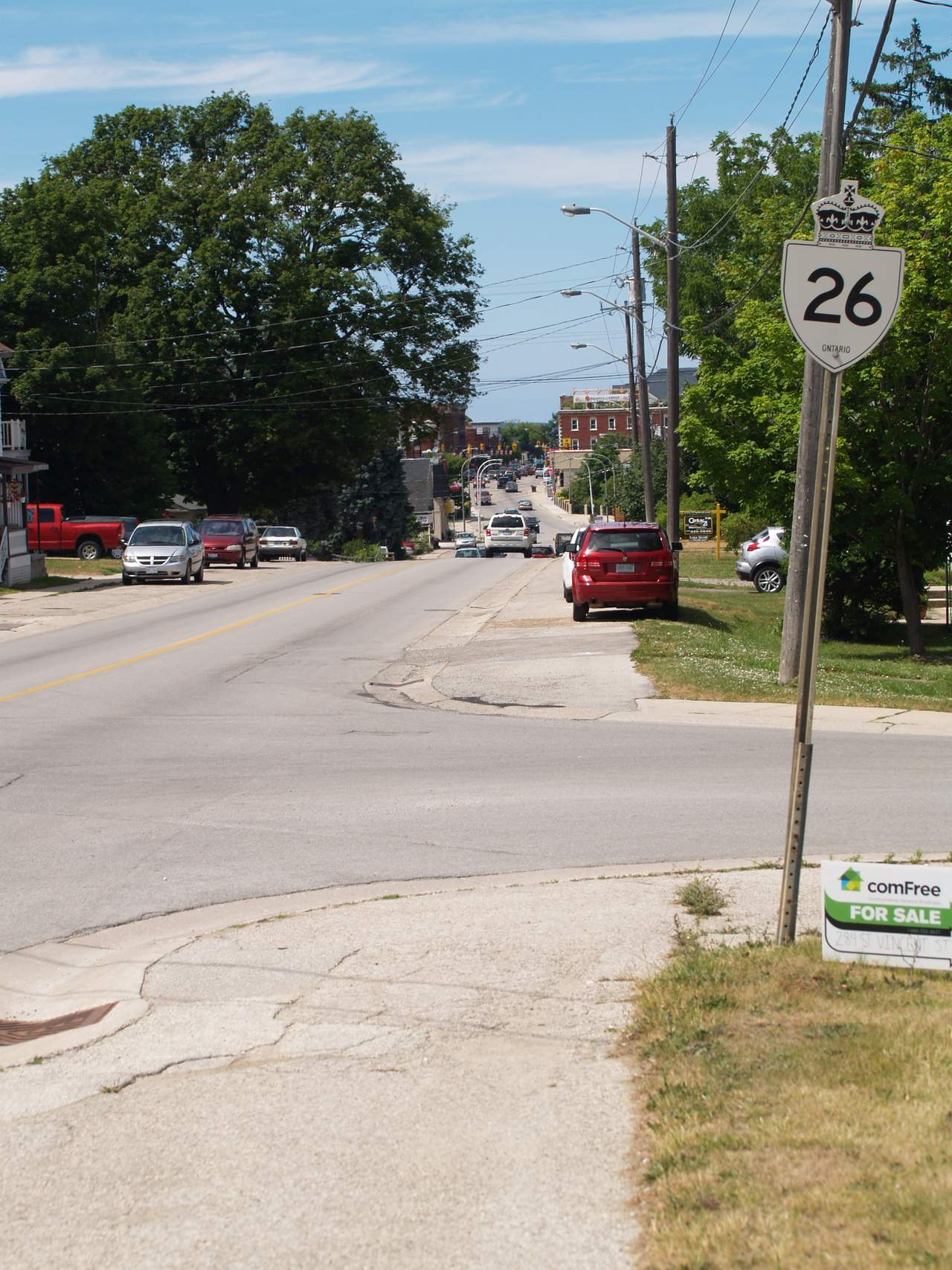
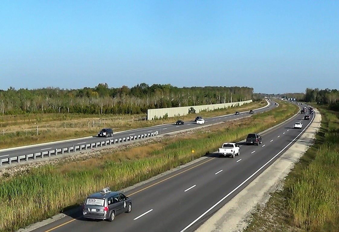
The roadway is largely a two-lane rural highway through agricultural and shoreline landscapes, with busier multi-lane or expanded sections close to urban centres. It offers scenic views of the bay in several places and alternates between small-town main streets and open-country driving. Roadside services, municipal roads and seasonal attractions are common along the corridor.
Major junctions and communities
Highway 26 provides connections to other principal routes and passes near or through a number of communities. Important intersections include:
- Highway 6, Highway 10 and Highway 21 in the Owen Sound area
- Local municipal roads serving shoreline towns and recreational areas
- Its eastern junction with Highway 400 near Barrie, which provides access north and south
History and governance
Designated as part of Ontario's King's Highway network, Highway 26 was established and upgraded over the 20th century as motor vehicle travel expanded. As a provincial route it has been built and maintained by provincial transportation authorities, with improvements and realignments occurring over time to address traffic, safety and economic demands. The highway's legal and operational status ties it to the broader provincial road system and planning framework.
Uses and importance
The route serves a mix of functions: it is an access road for cottages, parks and beaches along Georgian Bay; a conduit for local commerce and farm-to-market traffic; and part of a larger travel corridor when combined with Highway 400 to reach the Greater Toronto Area. Seasonal fluctuations—especially summer tourism and winter weather—affect traffic volumes and maintenance priorities.
Practical notes and notable facts
Drivers should expect variable speeds and occasional downtown alignments through small communities. The highway is known for its scenic stretches and for linking several recreational destinations. For official maps, traffic advisories and road work notices consult provincial resources and local municipal sites; these pages are maintained by authorities responsible for the provincial highway network and its route designation.
For visitors planning a trip along this corridor, towns such as Owen Sound at the west end and Barrie at the east end are logical bases for services, while intermediate communities and shorefront parks provide day-trip opportunities and local amenities. Travelers are advised to check seasonal conditions and local guidance before setting out.
Related articles
Author
AlegsaOnline.com Ontario Highway 26 (King's Highway 26) Leandro Alegsa
URL: https://en.alegsaonline.com/art/72678
Sources
- raqsb.mto.gov.on.ca : "Annual Average Daily Traffic (AADT) counts"