Ontario Highway 6
A principal provincial route that runs north–south in Ontario, connecting Port Dover to the Trans‑Canada network via the Bruce Peninsula, a seasonal ferry to Manitoulin Island, and northern mainland endpoints.
Overview
Highway 6 is a provincially maintained route in Ontario, Canada. It serves as a long north–south corridor that links communities on the southern shore of Lake Erie with the Bruce Peninsula and the North Channel, continuing across Manitoulin Island before rejoining the provincial trunk network on the mainland. The total length of the highway is approximately 472 kilometres, making it one of the longer single highway designations in the province.
Image gallery
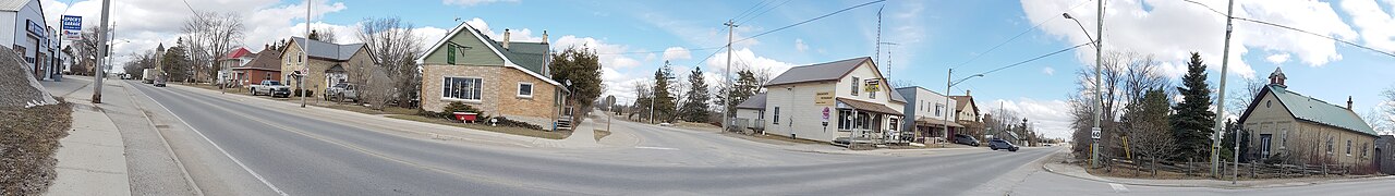
10 Images


Route and characteristics
The highway begins in the lakeside community of Port Dover and proceeds north through a mix of agricultural, small urban and rugged scenic landscapes. It passes close to several population centres and recreational areas before reaching the tip of the Bruce Peninsula at Tobermory. After a water crossing to Manitoulin Island it continues through the island’s communities and then returns to the Ontario mainland, ultimately meeting the Trans‑Canada Highway (Highway 17) near Baldwin.
Major communities and features
- Start: Port Dover
- Midway: regional centres and rural townships along the peninsula
- Peninsula terminus: Tobermory
- Island crossing: Tehkummah / South Baymouth on Manitoulin Island
- North end: connection to Trans‑Canada Highway near Baldwin
Ferry crossing to Manitoulin Island
A distinctive feature of Highway 6 is that the route includes a water link rather than a continuous pavement: a seasonal vehicle and passenger ferry operates between the Bruce Peninsula at Tobermory and the South Baymouth area of Tehkummah on Manitoulin Island. This crossing connects the two road segments and is an important access point for tourists, island residents and commercial traffic during the navigation season.
History and development
Work to establish the modern line of the highway began in the early 20th century, with initial construction phases occurring in the years after World War I and formal establishment of the route in the 1920s. Over the decades the designation was extended, upgraded and realigned in places to serve growing towns, improve safety and support tourism. The presence of a ferry link has long made Highway 6 notable among Ontario’s provincial highways.
Uses, importance and notable facts
Highway 6 is important for both local travel and tourism. It provides direct access to national and provincial parks on the Bruce Peninsula and to attractions on the peninsula and Manitoulin Island. The route also carries agricultural and commercial traffic from southern Ontario to northern markets. A few distinguishing points:
- The highway combines mainland road sections with a scheduled marine link, a relatively uncommon arrangement for a provincially numbered route.
- It links distinct ecological and cultural regions, from Lake Erie shorelines to the limestone cliffs and marine parks of the Bruce Peninsula, then to the freshwater island landscapes of Manitoulin.
- Its northern terminus ties into the cross‑Canada network at Highway 17, offering continuity for longer distance travel.
Together, these attributes make Highway 6 an essential transportation corridor that is valued for practical mobility as well as scenic and recreational access across a large portion of central Ontario.
Related articles
Author
AlegsaOnline.com Ontario Highway 6 Leandro Alegsa
URL: https://en.alegsaonline.com/art/72692