Narsingdi District: geography, economy, culture and administration
Narsingdi District in central Bangladesh, about 50 km northeast of Dhaka, is part of Dhaka Division and combines agricultural plains with textile and light-manufacturing industry, riverine transport and vibrant local culture.
Narsingdi District is an administrative district in central Bangladesh, located roughly 50 km northeast of the national capital, Dhaka. In Bengali the name is written নরসিংদী. The district forms part of the larger Dhaka Division and functions as a regional hub for nearby rural areas.
Image gallery
9 Images


Geography and environment
Narsingdi lies on low-lying alluvial plains shaped by a network of rivers and canals. These waterways support irrigation, fisheries and inland transport and help form fertile agricultural land. The district experiences a tropical climate with a distinct monsoon season that influences planting and harvesting cycles.
Administration and settlement
Administratively the district is organised into local government units that include municipalities, sub-districts (upazilas) and union councils. Settlements range from small villages to growing urban centres and market towns that serve surrounding rural communities.
Economy and industry
The local economy mixes agriculture with significant light manufacturing. Textile-related activities—handloom weaving, knitwear and small garment units—are important sources of employment and trade. Rice cultivation, vegetable farming and inland fishing remain key rural activities. Proximity to Dhaka connects producers to larger markets and supply chains, and local entrepreneurs often supply goods to the metropolitan area.
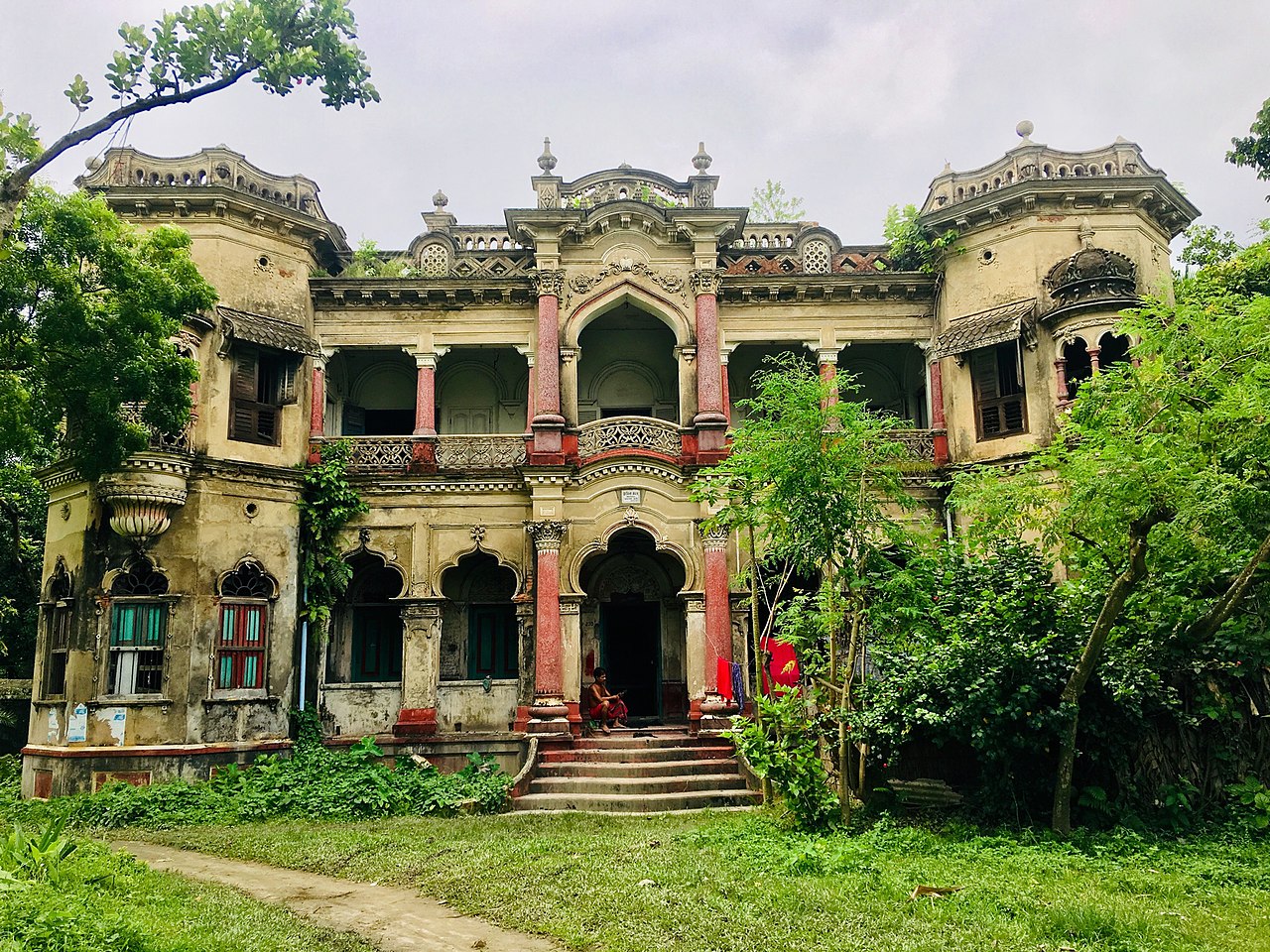
Society, culture and heritage
Cultural life in Narsingdi reflects the wider Bengali tradition: religious festivals, seasonal fairs, folk music and community ceremonies are central to social life. Both Muslim and Hindu communities observe major religious occasions; local festivals, fairs and performing arts maintain traditional practices while urban influences bring new cultural forms.
Transport and services
- Road networks link the district with Dhaka and neighbouring districts, supporting daily commuting and goods movement.
- Rivers and canals continue to be used for transport, irrigation and fishing.
- Local markets and small industrial clusters act as focal points for trade and employment.
For authoritative maps, demographic figures and planning documents consult official district profiles and regional development resources published by government and development agencies. Local government offices and upazila administrations provide current information on services, development projects and administrative contacts.
Related articles
Author
AlegsaOnline.com Narsingdi District: geography, economy, culture and administration Leandro Alegsa
URL: https://en.alegsaonline.com/art/68403