Mount Katahdin: Maine’s Highest Peak and Cultural Landmark
Mount Katahdin is the tallest mountain in Maine, rising about 5,267 ft (1,605 m). Known for rugged trails, the Knife Edge ridge, and its place in Baxter State Park and Penobscot tradition.
Overview
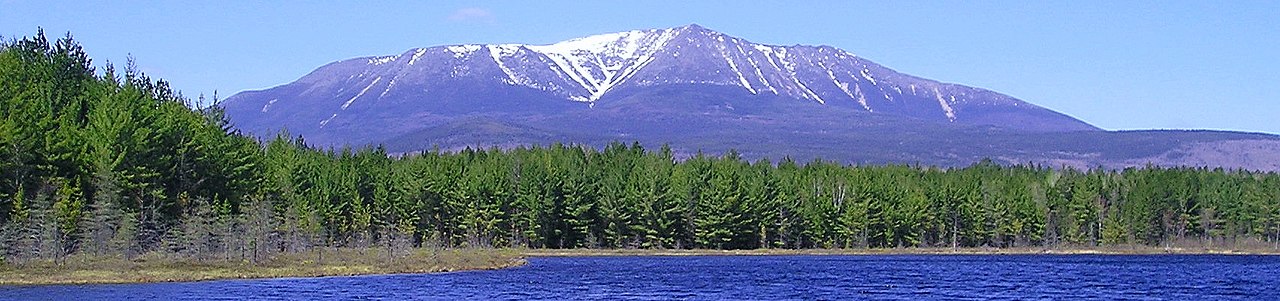
Mount Katahdin is the highest mountain in the U.S. state of the United States region of Maine, reaching approximately 5,267 feet (1,605 m) above sea level. It forms a dramatic, granite-cored massif at the northern terminus of the Appalachian Mountain chain and stands as a focal point for outdoor recreation, conservation, and local cultural identity.
Image gallery
9 Images


Physical characteristics and geology
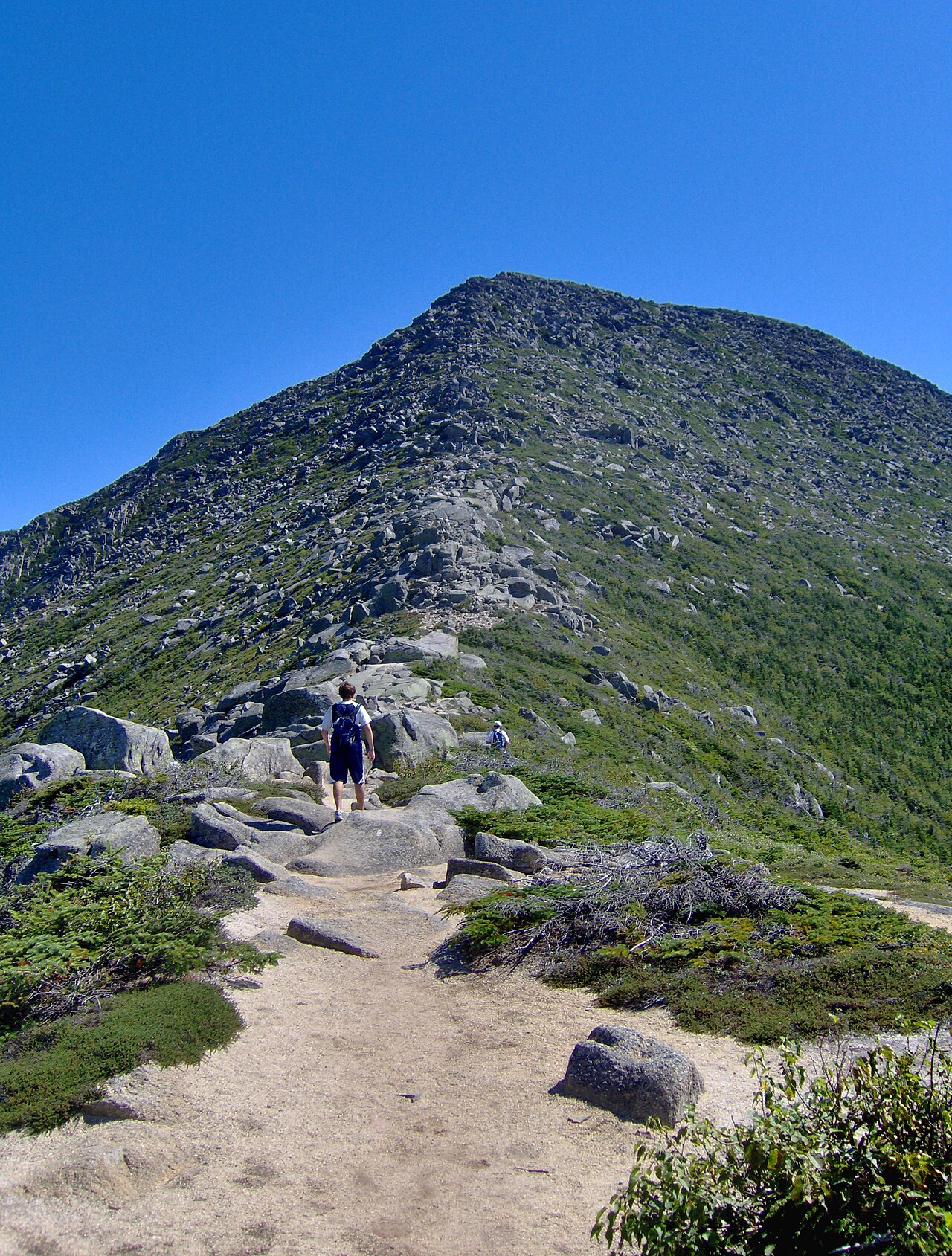
The mountain is composed primarily of hard igneous and metamorphic rock that weathers into steep cliffs, ridges, and talus slopes. Its summit area contains several peaks and cliff faces rather than a single rounded top. Prominent features include long ridgelines and exposed rock ledges that create challenging terrain for hikers and climbers.
Trails and recreation
Katahdin is a major destination for hikers. Routes vary from strenuous scrambles to technical rock steps. One of the most famous sections is the Knife Edge, a narrow, rocky ridge that requires careful scrambling and exposes hikers to steep drops. Trailheads and approaches lie within Baxter State Park, which regulates use to protect the mountain and its surroundings.
- Popular routes: Hunt Trail, Helon Taylor Trail, Chimney Pond approach, Saddle Trail, Knife Edge traverse.
- Activities: day hiking, multi-day backpacking, rock scrambling, and winter mountaineering.
History, protection and park management
The surrounding land is part of Baxter State Park, established through the philanthropy and bequest of Percival P. Baxter in the 20th century. The park operates under a policy of primitive recreation and conservation, with limited facilities and a focus on leaving wild character intact. Access rules, permits, and seasonal closures help reduce environmental impact and preserve public safety.
Cultural significance and notable facts
Katahdin has long been significant to the region’s Indigenous peoples; the mountain’s name derives from an Algonquian word often rendered in English as meaning the "greatest" or "chief" mountain. It marks the northern terminus of the Appalachian Trail, making it a symbolic finish line for long-distance hikers. Weather can change rapidly on the mountain; visitors should prepare for steep, exposed terrain and sudden storms.
Ecology and safety
Vegetation zones on Katahdin range from mixed northern forests at lower elevations to alpine communities and barren rock near the summit. The combination of fragile plant communities, loose rock, and frequent fog or wind makes route-finding and responsible travel important. Park guidance emphasizes staying on established trails, carrying appropriate gear, and checking conditions before attempting exposed sections such as the Knife Edge.
Related articles
Author
AlegsaOnline.com Mount Katahdin: Maine’s Highest Peak and Cultural Landmark Leandro Alegsa
URL: https://en.alegsaonline.com/art/67046
Sources
- ngs.noaa.gov : "Katahdin 2"
- peakbagger.com : "Katahdin, Maine"