
Manitoba Provincial Trunk Highway 10 (PTH 10)
Major north–south provincial highway in western Manitoba, running from the International Peace Garden to the Saskatchewan boundary near Flin Flon; longest highway in the province.
Overview
Manitoba Provincial Trunk Highway 10, commonly called PTH 10 or Highway 10, is a principal north–south route in western Manitoba. It runs from the International Peace Garden on the Canada–United States border northward to the boundary with Saskatchewan at Flin Flon. The highway is approximately 847 kilometres (about 526 miles) long, making it the longest numbered highway within the province.
Image gallery
1 Image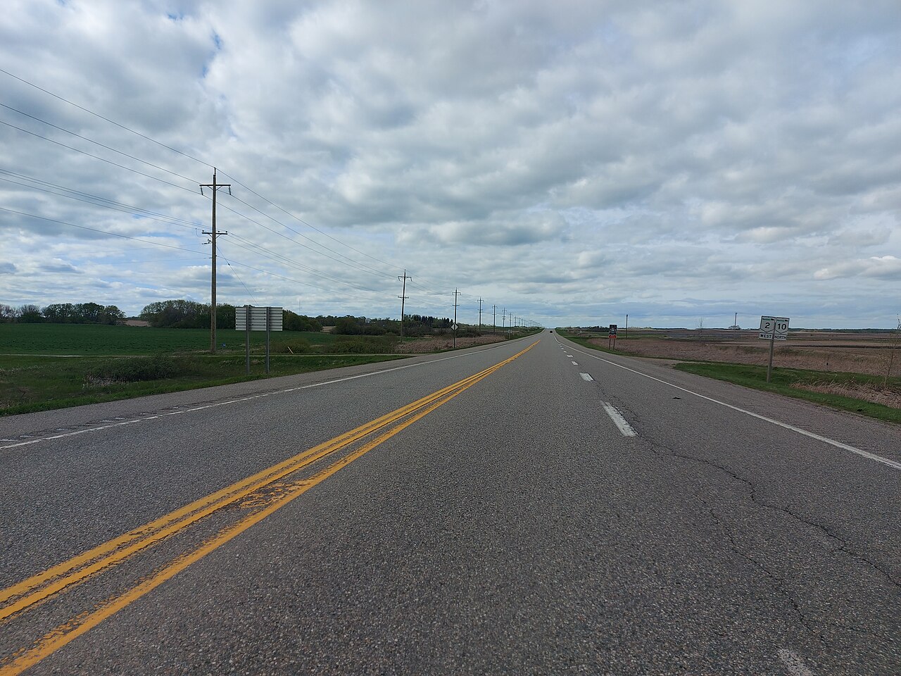
Route and key communities
PTH 10 begins at the International Peace Garden on the border with North Dakota, close to the community of Boissevain, and continues north through a mix of prairie and boreal landscapes. Major communities along the route include Brandon, Dauphin, Ethelbert, Cranberry Portage and The Pas, before reaching Flin Flon at the provincial boundary. The route provides a continuous link between southern agricultural regions and northern resource and Indigenous communities, and north of Flin Flon it continues as Saskatchewan Highway 167.
- Southern terminus: International Peace Garden, near Boissevain
- Major urban junctions: Brandon (regional service and transport hub)
- Central communities: Dauphin, Ethelbert
- Northern communities: Cranberry Portage, The Pas, Flin Flon
- Northern terminus: Saskatchewan boundary at Flin Flon (continues as SK 167)
Characteristics and maintenance
PTH 10 is primarily a two‑lane paved highway, with some multi‑lane or divided sections and reduced speed zones where it traverses towns or approaches larger centres such as Brandon. The highway crosses varied terrain: fertile farmland in the south, mixed woodlands and lakes in the central portion, and near‑boreal landscape as it approaches the northern boundary. The road is maintained by Manitoba Infrastructure and is subject to seasonal conditions—ice and snow in winter and spring thaw restrictions in some segments—so travel advisories and weight limits may apply at times.
History and development
The alignment of PTH 10 developed over many decades as local roads and early trunk routes were connected and upgraded to form a continuous provincial corridor. Its growth followed settlement patterns, agricultural needs in the prairie south and midlands, and later the emergence of mining and northern community links farther north. Over time sections have been repaved, straightened, and improved to enhance safety and capacity, especially near urban centres and busy junctions.
Uses and significance
As a long north–south artery, PTH 10 serves multiple transportation roles. It supports commercial traffic carrying grain and agricultural inputs in the south, supplies and services for northern communities and resource operations, and general passenger travel. The highway also plays a recreational and tourist role: the southern terminus at the International Peace Garden is an international attraction, and travelers use PTH 10 to reach parks, lakes and outdoor recreation areas throughout central and northern Manitoba.
Notable facts and distinctions
PTH 10 is notable for its length and for linking a wide range of Manitoba environments and economies, from the international border with the United States through major service centres like Brandon to the mining town of Flin Flon on the Saskatchewan border. A portion of the highway, between Dauphin and The Pas, forms part of the Northern Woods and Water Route, a signed scenic corridor across western Canada. The highway’s role in connecting remote communities and supporting regional commerce makes it a vital component of the provincial road network.
For further regional overviews and maps of the road network in Canada and Manitoba, and for seasonal routing information, consult provincial transportation resources and local travel advisories. Additional local details and services along PTH 10 can be found through municipal or tourism pages associated with the towns it serves.
Selected reference anchors: Manitoba, Canada, North Dakota, Brandon, Dauphin.
Related articles
Author
AlegsaOnline.com Manitoba Provincial Trunk Highway 10 (PTH 10) Leandro Alegsa
URL: https://en.alegsaonline.com/art/61350