
Mambéré-Kadéï Prefecture — southwestern region of the Central African Republic
Mambéré-Kadéï is a prefecture in southwestern Central African Republic with capital Berbérati. Named for two rivers, it is known for forests, agriculture and mining and was called Haute-Sangha until 1992.
Overview. Mambéré-Kadéï is one of the administrative prefectures of the Central African Republic. Located in the country’s southwest, its administrative centre and largest town is Berbérati. The prefecture takes its name from two of the region’s main waterways, the Mambéré and the Kadéï rivers, which shape local drainage and settlement patterns.
Image gallery
3 Images
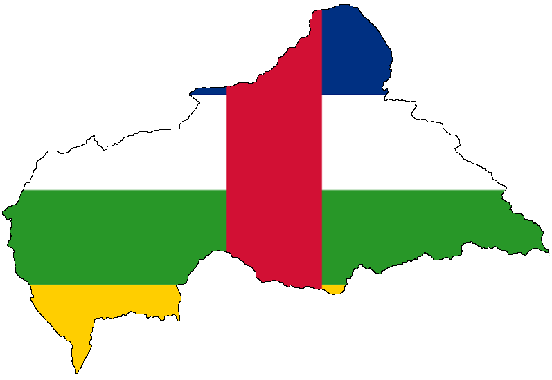
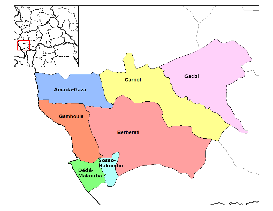
Geography and environment
The landscape combines tropical forest and savanna transitions with river valleys. The area has a humid, equatorial climate with distinct wet and dry seasons. Coordinates commonly given for the prefectural seat are 4°30′N 16°00′E, placing it in the southwestern quadrant of the country. Forests in the prefecture supply timber and sustain biodiversity typical of Central African lowland zones.
History and name
Until 1992 the territory was often referred to as Haute-Sangha. Administrative reorganizations and a desire to reflect prominent local features led to the current name, which emphasizes the two rivers. Berbérati developed historically as a regional market and administrative town.
Economy and resources
The local economy is a mix of subsistence and commercial activities. Agriculture—both smallholder crops and tree crops—forest products, and artisanal mining are important sources of income. Timber extraction and the search for alluvial minerals such as diamonds have shaped development, while markets in Berbérati concentrate trade and services for the surrounding countryside.
Administration, transport and society
Mambéré-Kadéï is governed as a prefecture within the national administrative system. Berbérati functions as the prefectural capital and hub for government services, education and healthcare in the region. Transport infrastructure is limited: primary roads connect towns but can be difficult in the rainy season, and local airstrips support occasional commercial or humanitarian flights.
Notable facts and distinctions
- The prefecture name highlights two principal rivers rather than a single colonial-era title.
- Berbérati is the principal urban centre and service hub for southwestern CAR.
- The region combines significant forest cover with areas of agricultural clearance and small-scale mining, giving it a mixed economic profile.
For an overview of the country's administrative divisions and maps, consult resources on national prefectures and general information about the Central African Republic. The geographical coordinates are frequently cited as 4°30′N 16°00′E for planning and navigational purposes.
Related articles
Author
AlegsaOnline.com Mambéré-Kadéï Prefecture — southwestern region of the Central African Republic Leandro Alegsa
URL: https://en.alegsaonline.com/art/61117