Arkansas River
Major U.S. river rising in the Colorado Rockies and flowing southeast through Kansas, Oklahoma and Arkansas to the Mississippi; important for navigation, irrigation, recreation and regional ecology.
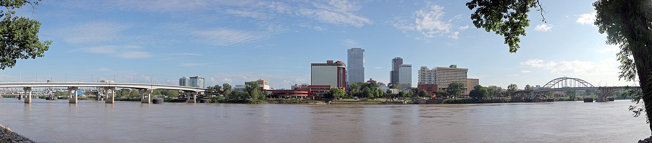
The Arkansas River is a major waterway in the United States that flows generally southeast to join the Mississippi River. As one of the longest rivers entirely within the country it serves as a significant tributary, a transportation corridor and a source of water for agriculture, communities and industry. The river’s length is commonly given as about 1,469 miles, and it crosses a variety of climatic and geological regions from mountain headwaters to broad alluvial plains.
Image gallery
10 Images


Course and physical characteristics
The Arkansas rises on the eastern slopes of the Rocky Mountains in Colorado and descends east and southeast through central Kansas, across much of Oklahoma and into the state of Arkansas, where it meets the Mississippi. Upper reaches are characterized by steeper gradients, clearer water and rocky channels; farther downstream the river becomes wider, more sinuous and develops extensive floodplains. Human engineering — including locks, dams and reservoirs — has modified depth, seasonal flow variation and sediment transport along many stretches.
Tributaries and drainage
- The Canadian River is one of the major tributaries, contributing runoff from southern plains.
- The Cimarron River drains semi-arid regions and can have highly variable flows.
- The Salt Fork Arkansas River and other forks and streams feed the mainstem and support regional irrigation systems.
Navigation, infrastructure and uses
A federally maintained navigation channel and a system of locks and reservoirs provide inland barge traffic and connect river ports to national markets. The navigation improvements, often associated with the McClellan–Kerr Arkansas River Navigation System, enabled year-round commercial navigation well inland from the delta. Reservoirs and diversion works support irrigation, municipal water supplies and hydroelectric generation in places, while recreational boating, sport fishing and whitewater recreation attract many users.
History and cultural significance
Indigenous peoples used the river corridor for travel, trade and seasonal resource gathering long before European exploration. In historic times the Arkansas served as a route for steamboats, frontier settlement and agricultural development. Numerous towns and cities developed along its banks and the river’s name is reflected in the state of Arkansas.
Ecology and contemporary challenges
The Arkansas basin includes montane streams, prairie river sections and bottomland hardwood forests that provide habitat for diverse fish, birds and other wildlife. Current management challenges include balancing water allocations among states, reducing sedimentation and agricultural runoff, controlling salinity in some reaches, and maintaining habitat connectivity while supporting navigation and flood control. Federal, state and local agencies, together with conservation organizations and riverfront communities, continue efforts to manage the river for multiple uses and to restore ecological functions where possible.
For more detailed information on specific aspects of the river—navigation, ecology, historic sites and recreational opportunities—consult regional resources and agency publications about the Arkansas River and its watershed.
Related articles
Author
AlegsaOnline.com Arkansas River Leandro Alegsa
URL: https://en.alegsaonline.com/art/5605