
Interstate 19 — Arizona highway between Nogales and Tucson
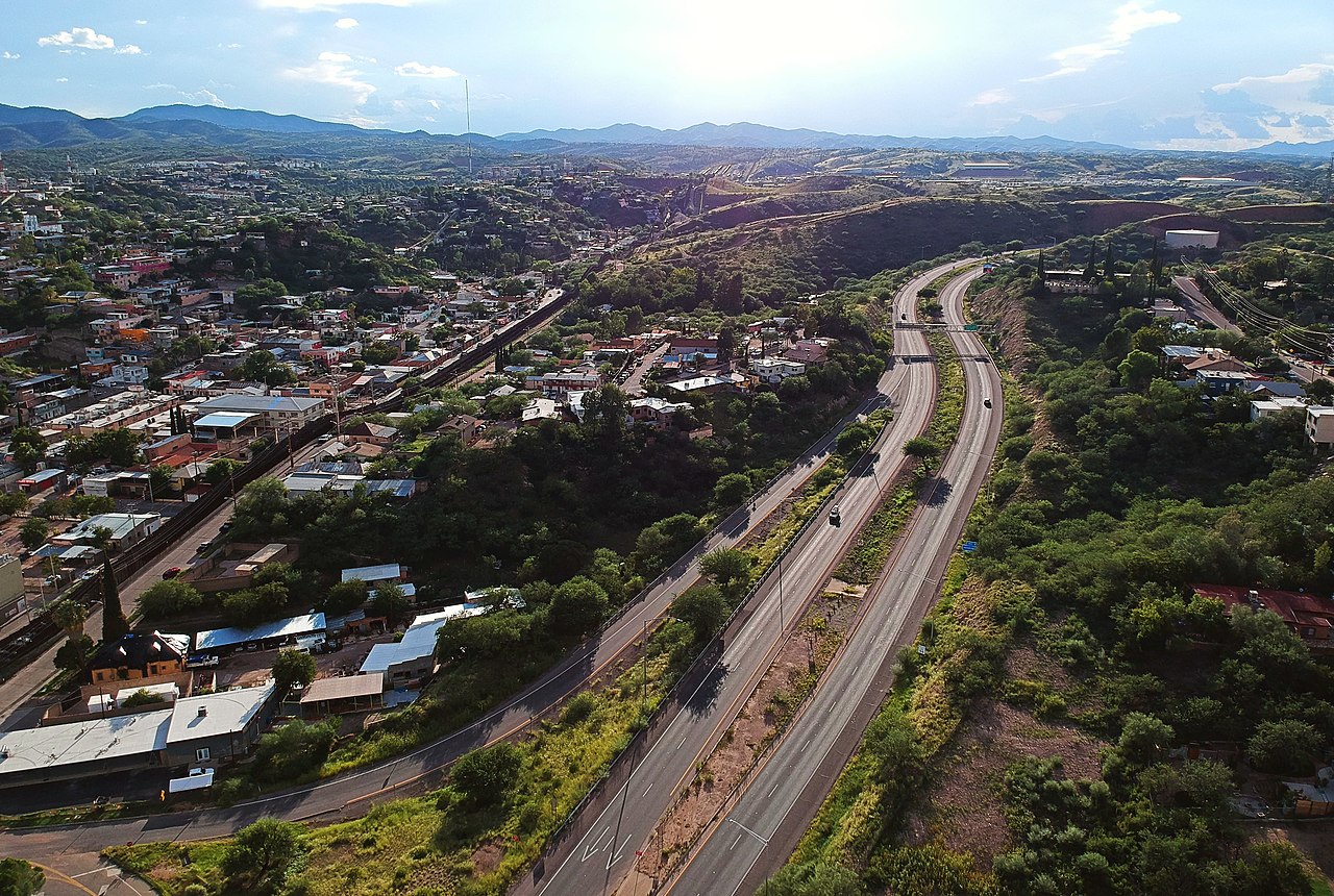
Interstate 19 is a federal Interstate Highway in Arizona linking the Mexico border at Nogales with Tucson, spanning about 63.35 miles and serving as a key trade and travel corridor.
Overview: Arizona's Interstate 19 is a short but important north–south freeway that runs from the international crossing at Nogales to the Tucson area and connects into the broader Interstate network of the United States. The route is approximately 63.35 miles (101.95 km) long and carries a mix of passenger, commercial and cross-border traffic.
Image gallery
4 Images


Route and characteristics
I-19 begins at the border complex near Nogales and proceeds north through desert terrain toward metropolitan Tucson, where it links with Interstate 10 and several state highways. The freeway is designed as a multi-lane divided highway and passes through communities and industrial areas that support border commerce. Signage and interchanges provide access to regional freight facilities, local roads, and tourist corridors.
History and development
The highway was planned and built as part of the Interstate Highway System to improve regional mobility and support economic ties with northern Mexico. Over time it has been upgraded to modern safety and operational standards. I-19's alignment follows an established corridor used for decades for trade and travel between Tucson and the border.
Uses and importance
- Primary link for cross-border trade and commercial trucking between the U.S. and Mexico.
- Access route for tourism, local commuting, and regional distribution centered on Tucson.
- Connector to Interstate 10 and the national highway grid, supporting longer-distance freight movements.
Notable facts and distinctions: I-19 is relatively short compared with other primary Interstates, but it plays an outsized role because of its international terminus. It traverses Sonoran Desert landscapes and serves both urban and rural communities. Its function as a border connector shapes traffic patterns, seasonal variations, and local economic activity.
For maps, schedules, and traveler information consult state transportation resources or the relevant local agencies linked through official portals and regional planning documents.
Related articles
Author
AlegsaOnline.com Interstate 19 — Arizona highway between Nogales and Tucson Leandro Alegsa
URL: https://en.alegsaonline.com/art/47759
Sources
- mpd.azdot.gov : "2007 ADOT Highway Log"
- fhwa.dot.gov : Route Log - Main Routes of the Eisenhower National System Of Interstate and Defense Highways - Table 1