High pressure area (atmospheric high or anticyclone)
A high pressure area is a region where atmospheric pressure is higher than surrounding areas, producing subsiding air, typically clear skies, and distinct circulation patterns that influence weather and climate.
A high pressure area, often called a high or an anticyclone, is a region in the atmosphere where the atmospheric pressure is greater than in the surrounding air. Highs are fundamental features on weather maps and are associated with descending air, which suppresses cloud formation and commonly brings fair conditions at the surface. They contrast with low pressure systems, which are linked to rising air and unsettled weather.
Image gallery
6 Images


Characteristics and structure
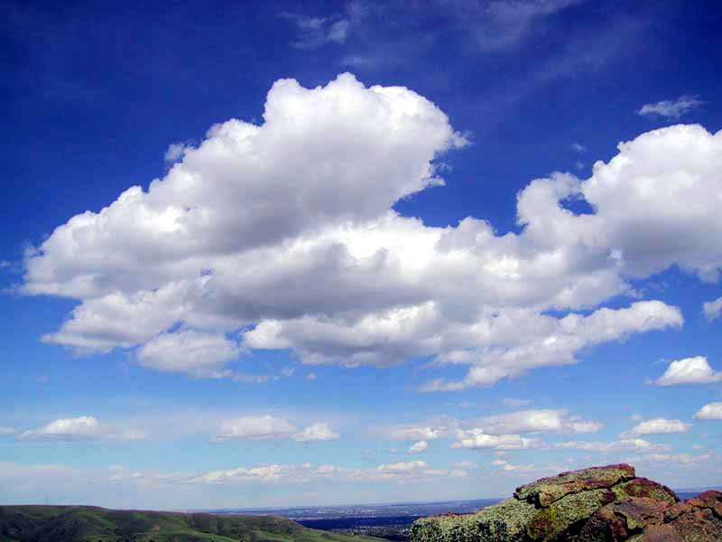
Highs are defined by closed isobars on pressure charts and a center where pressure reaches a local maximum. In the upper atmosphere, a high corresponds to a region of divergence aloft and sinking motion below, a process called subsidence. Subsidence warms and dries the air column, reducing humidity and inhibiting convection.
- Typical effects: clear skies, light winds near the center, and reduced precipitation.
- Rotation: winds circulate clockwise around highs in the Northern Hemisphere and counterclockwise in the Southern Hemisphere because of the Coriolis effect.
- Types: thermal highs form over cold surfaces, while subtropical and quasi-stationary highs arise from large-scale circulation patterns.
Origin and large-scale role
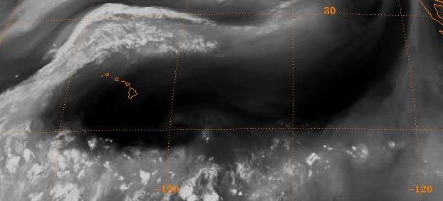
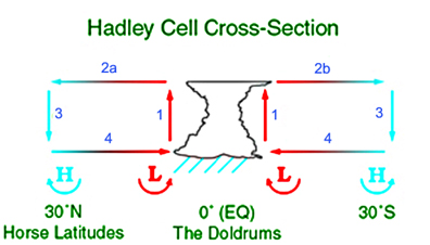
High pressure areas develop from atmospheric dynamics and thermodynamic contrasts. Persistent subtropical highs, like the Azores High, are integral to the Hadley circulation and help steer storm tracks. Seasonal or thermal highs, such as the Siberian High, are produced by extensive surface cooling and can strongly influence winter weather over adjacent continents.
Weather impacts and examples
Highs often produce prolonged periods of stable weather, clear nights, and radiative cooling. When a high becomes stationary it can lead to heat waves in summer or persistent cold in winter by trapping air masses in place. Blocking highs can divert or stall other weather systems, amplifying regional impacts such as drought, air-quality degradation, or extended calm conditions favorable for fog.
Practical importance and distinctions
Forecasters identify highs to predict surface conditions, flight planning, and maritime operations. On synoptic charts they are shown by concentric isobars and labeled with an "H." Understanding the difference between a mobile ridge of high pressure and a quasi-permanent center helps anticipate whether fair conditions will persist or give way to approaching lows. Highs are a central concept in meteorology because of their clear, reproducible effects on climate and daily weather patterns.
Related articles
Author
AlegsaOnline.com High pressure area (atmospheric high or anticyclone) Leandro Alegsa
URL: https://en.alegsaonline.com/art/44111