
Dâmbovița River: course, features, and significance in Romania
The Dâmbovița is a river in southern Romania that rises in the Făgăraș Mountains, crosses Bucharest, and joins the Argeș near Budești. It has played a key role in local settlement, transport and urban development.
The Dâmbovița is a medium-sized river in southern Romania that begins in the high Carpathians and flows southward to join the Argeș River. Its upper reaches form where several headwater streams, including Valea Vladului and Boarcăşu, come together in the Făgăraș Mountains. From those mountain slopes the river descends through foothills and plains before entering the lowland near the capital city.
Image gallery
10 Images




Course and physical characteristics
The Dâmbovița runs roughly south from its mountain sources for about 258 kilometres before its confluence with the Argeș near the locality of Budeşti in Călărași County. Along its course it receives water from a number of smaller tributaries and drains a predominantly agricultural and urban basin. The river’s gradient is steep in the upper section, becoming gentler as it crosses the Wallachian Plain.
Human use and urban role
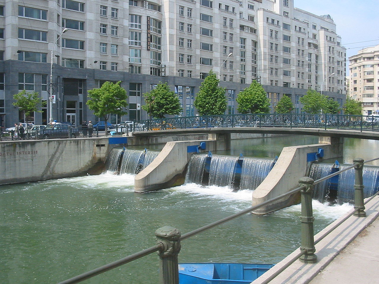
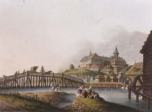
The river is best known for passing through Bucharest, where it has been constrained by embankments and channel works for centuries as the city expanded. These engineering measures were intended to control floods, support urban development and provide water for industry and public needs. In and near towns the Dâmbovița’s banks host roads, parks and promenades; its waters have also been used historically for small-scale mills and local irrigation.
Ecology, management and restoration
Like many rivers that flow through densely populated areas, the Dâmbovița faces environmental pressures such as altered flow, pollution from urban runoff and reduced habitat diversity. In recent decades there have been efforts to improve water quality, manage flood risk and restore riparian zones. Such projects balance engineered flood protection with measures to enhance ecological function and recreational access.
Importance and notable facts
- The Romanian county named Dâmbovița takes its name from the river, reflecting its regional importance.
- The river’s source region in the Făgăraș Mountains links it to the high Carpathian watershed and seasonal snowmelt patterns.
- It flows through Romania’s capital: the section through Bucharest has shaped the city’s layout and infrastructure.
For geographic context and maps see general references on the river and its basin: Dâmbovița River overview, the national context of Romania, the mountains where it rises at Făgăraș, and information about its course through Bucharest.
Questions and answers
Q: Where is the Dâmboviţa River located?
A: The Dâmboviţa River is located in Romania.
Q: Where does the Dâmboviţa River start?
A: Dâmboviţa River starts at the joining of the headwaters Valea Vladului and Boarcăşu in Romania.
Q: What mountain range is the source of the Dâmboviţa River?
A: The Făgăraş Mountains is the source of the Dâmboviţa River.
Q: In which direction does the Dâmboviţa River flow?
A: The Dâmboviţa River flows south.
Q: Does the Dâmboviţa River pass through Bucharest?
A: Yes, the Dâmboviţa River passes through Bucharest.
Q: Where does the Dâmboviţa River flow into?
A: The Dâmboviţa River flows into the Argeş River 258 kilometers from its source.
Q: What is the significance of the Dâmboviţa River in Romania?
A: The Romanian county of Dâmboviţa County is named after this river.
Related articles
Author
AlegsaOnline.com Dâmbovița River: course, features, and significance in Romania Leandro Alegsa
URL: https://en.alegsaonline.com/art/25269