
Damodar River
The Damodar River rises on the Chota Nagpur Plateau and flows east through Jharkhand and West Bengal. Historically flood-prone, it now supports industry, coalfields and managed irrigation via the Damodar Valley program.
The Damodar River is an important eastward-flowing river in eastern India. It rises on the Chota Nagpur Plateau and runs through the states of Jharkhand and West Bengal. The river has played a major role in regional development because its valley contains significant coal deposits and industrial centres, and because of its historic tendency to flood lowland plains.
Image gallery
7 Images




Course and physical characteristics
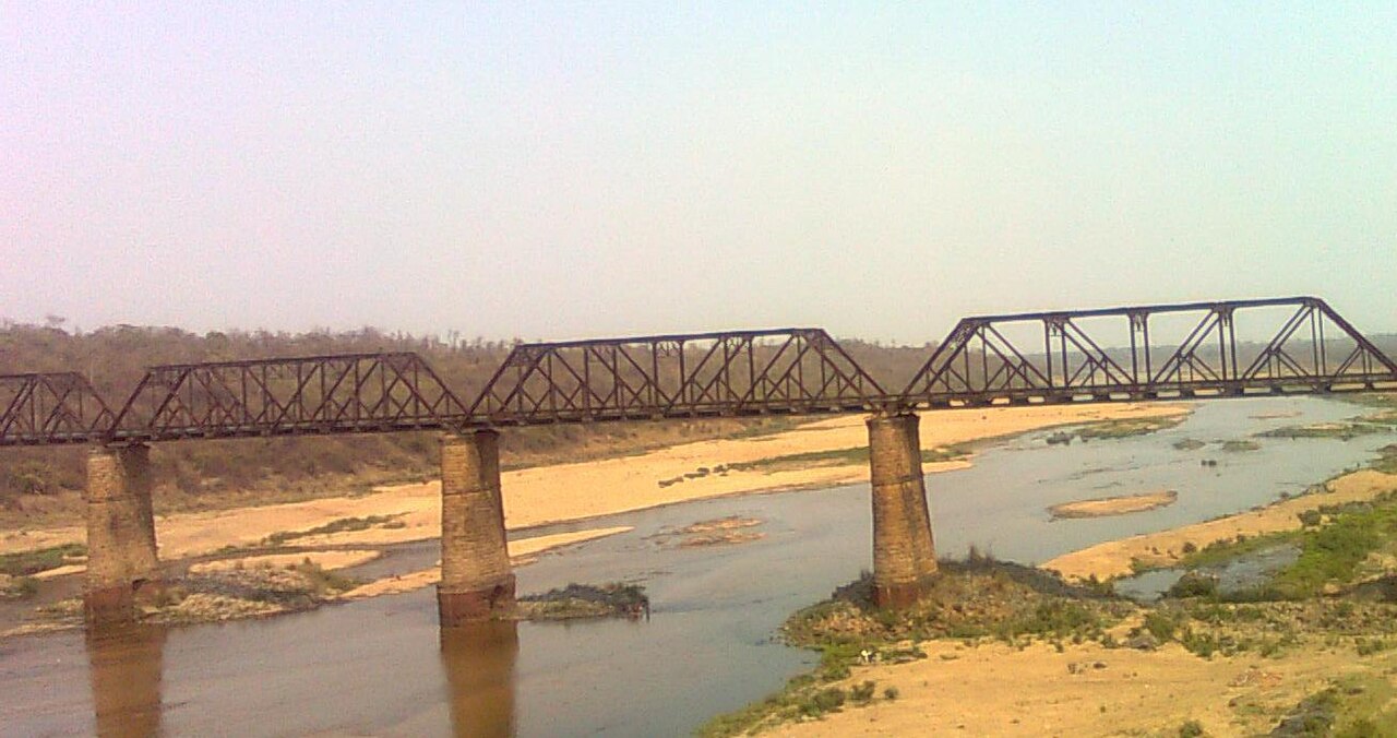
The Damodar flows generally from west to east across a changing landscape: plateau and upland country in its upper reaches, then broader plains as it approaches the coastal region. Its channel and seasonal flows are shaped by monsoon rainfall in the catchment and by tributaries that drain adjoining parts of the plateau.
Development and flood control
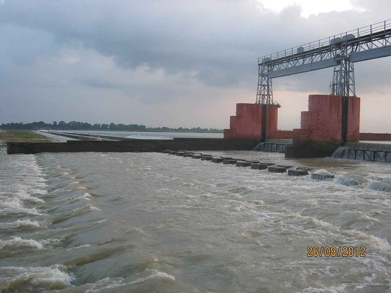
After repeated destructive floods in the 19th and early 20th centuries the river became the focus of an integrated river basin programme. The creation of the Damodar Valley Corporation brought major reservoirs and controls to the valley. Prominent multipurpose dams and reservoirs constructed under this programme include Tilaiya, Konar, Maithon and Panchet, which provide flood moderation, irrigation storage and hydropower generation.
- Flood mitigation: Reservoirs and embankments reduced the frequency of catastrophic floods.
- Power and irrigation: Hydropower stations and regulated flows support electricity generation and agriculture.
- Industrial water supply: The valley supports heavy industry and urban centres reliant on Damodar water.
The Damodar valley is also closely linked with extensive coalfields such as Raniganj, Jharia and Bokaro; mining and related industries transformed local economies but also created environmental stresses.
Environmental and social issues
Intensive coal mining, industrial effluents and untreated urban discharge have affected water quality and river ecology. Acid mine drainage and sedimentation remain concerns, and ongoing efforts focus on pollution control, riverbank management and rehabilitation of affected communities and ecosystems.
Because of its combination of industrial importance and historical floods, the Damodar is sometimes called the "Sorrow of Bengal," a nickname that recalls its former threat to lowland settlements before basin-wide flood control measures were implemented. For general reference on regional geography and river management see local studies and basin planning documents such as those prepared for the Damodar Valley programme.
Related articles
Author
AlegsaOnline.com Damodar River Leandro Alegsa
URL: https://en.alegsaonline.com/art/25284
Sources
- indianetzone.com : "Origin of Damodar River, Indian River"