Charlotte County, New Brunswick
Coastal county in southwestern New Brunswick, Canada. A historically maritime region with fishing, tourism, six municipalities, fourteen parishes and a maritime boundary dispute with the US.
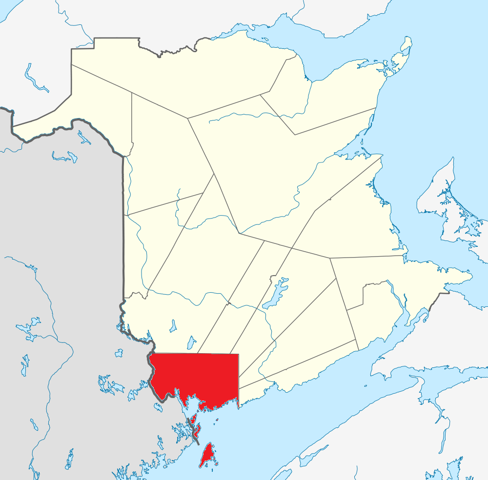
Charlotte County lies in the southwestern corner of New Brunswick, Canada. It is a largely coastal and rural county made up of six municipalities and fourteen parishes, and had a population of 26,549 in 2011. The county combines rocky shorelines, islands, river valleys and forested hinterland and serves as a regional centre for fisheries, tourism and cross-border connections with the state of Maine.
Image gallery
3 Images

Geography and environment
Charlotte County fronts the Bay of Fundy and the Gulf of Maine and includes several offshore islands. The landscape ranges from tidal flats and coastal headlands to wooded inland areas and agricultural pockets. Marine ecosystems and seabird colonies are important locally, while forests support timber activities. Seasonal weather and the Bay of Fundy tides strongly influence coastal communities.
History and development
The area was occupied by Indigenous peoples long before European contact. European settlement intensified in the 18th and 19th centuries, with Loyalist migration and later maritime industries shaping towns and villages. Over time ports, shipbuilding and fisheries underpinned local economies; in the 20th and 21st centuries tourism and service sectors have grown alongside continuing natural-resource activities.
Government and subdivisions
In New Brunswick, counties are historical geographic units used for census and administrative reference. Local governance is conducted through municipal councils for incorporated towns and villages and through local service districts or regional arrangements elsewhere. Charlotte County contains several notable communities, for example St. Andrews, St. Stephen and Grand Manan, which act as local service and tourism hubs.
Economy, transport and culture
The local economy remains diversified: commercial fishing and aquaculture, forestry and wood processing, small-scale agriculture, and tourism focused on coastal scenery, historic towns and wildlife. Ferry services and coastal roads connect islands and peninsulas. Cultural life blends maritime traditions, seasonal festivals and outdoor recreation such as boating, birdwatching and hiking.
Disputed islands and international issues
Two small offshore features near the county—Machias Seal Island and North Rock—are the subject of a longstanding maritime boundary dispute between Canada and the United States. That disagreement affects jurisdictional control, access and fishing rights in surrounding waters and has periodically attracted attention from governments, fishers and conservation groups.
Notable facts
- The county contains a mix of mainland coastline and significant islands, some served by regular ferry links.
- Local administration rests with municipalities and provincial arrangements rather than a county government structure.
- Conservation of coastal habitats and management of fisheries remain local priorities.
For further administrative, geographic or travel information about the county and its communities, see local government and tourism resources or consult regional mapping services and provincial materials.
Related articles
Author
AlegsaOnline.com Charlotte County, New Brunswick Leandro Alegsa
URL: https://en.alegsaonline.com/art/18825