Cère (river in south-central France)
The Cère is a river rising in the Massif Central of France that flows through Cantal, Corrèze and Lot and joins the Dordogne; important locally for landscapes, towns and freshwater habitats.
Overview
The Cère rises in the highlands of the Massif Central and flows generally westward before joining the Dordogne. Its headwaters lie close to the coordinates 44°54′34″N 1°48′45″E. It is considered the principal river of the Cantal department and a notable watercourse in the south-central French landscape.
Image gallery
7 Images


Course and geography
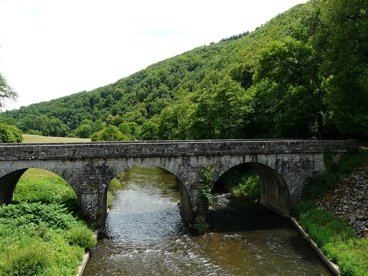
The Cère is a French river that traverses varied terrain. From upland moors and plateaus it descends through narrower valleys and carved gorges to meet the Dordogne as a left tributary. Along its route it passes or serves several small towns, including market towns such as Vic-sur-Cère and Arpajon-sur-Cère, and it contributes to the local drainage of the Massif Central.
- Departments traversed: Cantal, Corrèze, Lot (all are French departments).
- Border stretch: for about 20 km it forms the boundary first between Corrèze and Cantal, then between Corrèze and Lot.
- Mouth: joins the Dordogne river, contributing to that larger river system (river network).
Uses, ecology and landscape
The river's valleys support agriculture, small-scale industry and tourism. Its clearer, faster reaches are typical of upland French rivers and provide habitat for trout and other freshwater species; lower stretches present wider riparian corridors. The Cère's gorges and steep banks are used for walking, local tourism and river sports at appropriate seasons, while conservation interests focus on water quality, habitat continuity and floodplain management.
History and human impact
Communities along the Cère have long used the river for mill-power, irrigation and as a local transport corridor. Over the 19th and 20th centuries, settlements grew at convenient crossing points and market towns developed near its banks. Modern concerns include balancing local development with riverine ecological health and managing occasional flooding.
Notable facts
The Cère is best known regionally rather than nationally: it shapes local landscape identity in the Massif Central foothills and functions as an important freshwater corridor into the Dordogne. It illustrates common features of mid-sized French upland rivers—steep headwaters, scenic gorges, small towns clustered on its banks and a role as a departmental main river.
Questions and answers
Q: What are the coordinates of the Cère river?
A: The coordinates of the Cère river are 44°54′34″N 1°48′45″E / 44.90944°N 1.81250°E / 44.90944; 1.81250.
Q: In which region does the Cère river flow?
A: The Cère river flows through the Massif Central region of France.
Q: Which departments does the Cère river flow through?
A: The Cère river flows through the Cantal, Corrèze, and Lot departments.
Q: Is the Cère river a left tributary of the Dordogne river?
A: Yes, the Cère river is a left tributary of the Dordogne river.
Q: Is the Cère river the main river of the Cantal department?
A: Yes, the Cère river is the main river of the Cantal department.
Q: Does the Cère river form a border between any departments?
A: Yes, for about 20 km (12 mi), the Cère river forms the border between the Corrèze and the Cantal departments, and later between the Corrèze and the Lot departments.
Q: How long is the Cère river?
A: The text does not provide information on the length of the Cère river.
Related articles
Author
AlegsaOnline.com Cère (river in south-central France) Leandro Alegsa
URL: https://en.alegsaonline.com/art/18166
Sources
- commons.wikimedia.org : Cère
- services.sandre.eaufrance.fr : "La Cère (P1--0290)"
- hydro.eaufrance.fr : "La Cère à Biars-sur-Cère (Bretenoux)"
- geoportail.gouv.fr : "Source de la Cère"
- geoportail.gouv.fr : "Embouchure de la Cère"