Ağrı — City and provincial capital in eastern Turkey
Ağrı is the capital of Ağrı Province in eastern Turkey, near Mount Ararat. It is an administrative and regional transport hub with an economy based on agriculture, livestock and cross‑border trade.
Overview
Ağrı is a city in eastern Anatolia that serves as the administrative centre of Ağrı Province. Situated on a high Anatolian plateau, the city lies within the broader historic region often called Eastern Anatolia. It functions as a local hub for government services, commerce and education for surrounding rural districts.
Image gallery
6 Images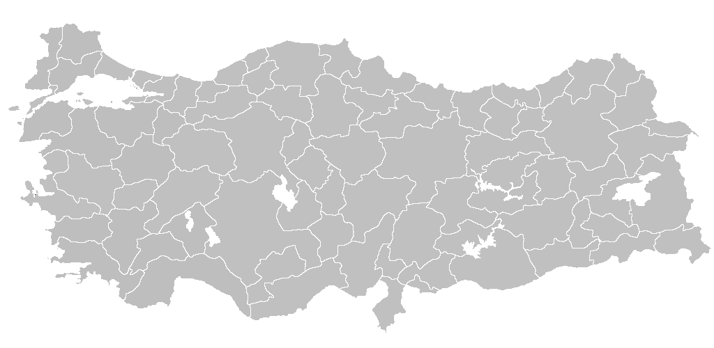


Geography and climate
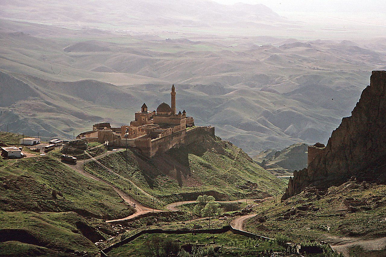
The city is notable for its proximity to Mount Ararat (Turkish: Ağrı Dağı), the highest peak in modern Turkey and a dominant landmark on the horizon. Ağrı's setting on an elevated plain gives it a continental climate: cold, snowy winters and warm, dry summers. The surrounding countryside consists of steppe and pasture used for grazing.
History and culture
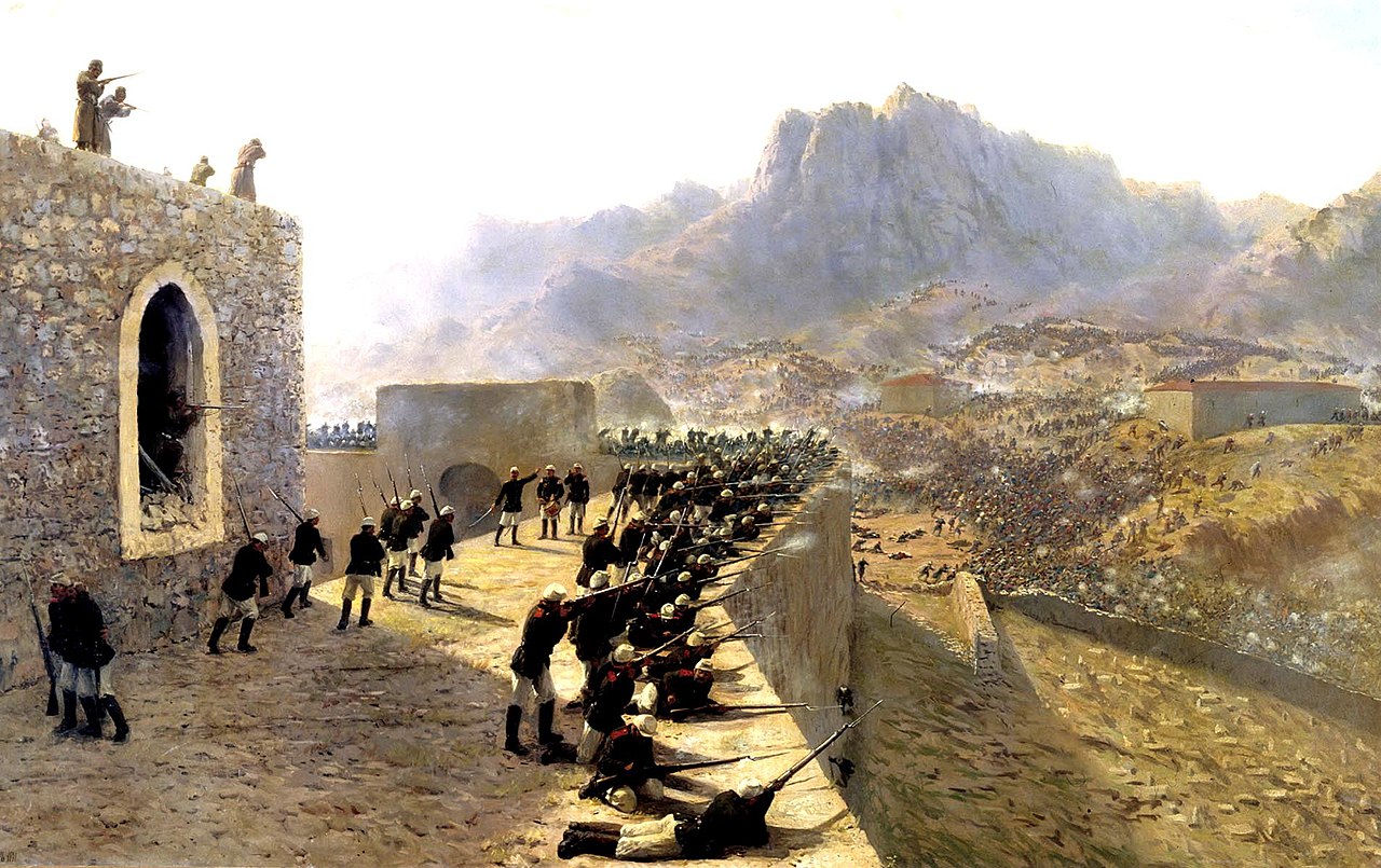
Ağrı occupies territory with a long and layered history, influenced by Armenian, Persian, Kurdish and Ottoman presences over many centuries. Today the city has a mixed cultural character with traditional markets, local crafts and a range of languages and customs. Local festivals and religious observances reflect this regional diversity.
Economy and transport
The local economy is largely agricultural: cereals, potatoes and livestock play an important role, along with small‑scale trade and services that support nearby villages. Ağrı is connected by road to other eastern provinces and is served by a regional airport. Cross‑border trade with neighbouring countries contributes to its role as a transit point.
Notable places and distinctions
- Mount Ararat (Ağrı Dağı), visible from the region and important culturally and geographically.
- Historic sites and nearby palaces and fortifications in the province, within driving distance of the city.
- Local bazaars and museums that preserve regional handicrafts and history.
Population figures vary by year; a commonly cited estimate for the early 2010s placed the city population at around 145,000. As the capital of its province, Ağrı continues to be a focal point for regional administration and services within Turkey.
Tags
Related articles
Author
AlegsaOnline.com Ağrı — City and provincial capital in eastern Turkey Leandro Alegsa
URL: https://en.alegsaonline.com/art/1430