Blackwall, London — history, geography and modern development
Blackwall is a riverside district in the London Borough of Tower Hamlets. Historically a shipbuilding and dock area, it is now mainly residential while retaining maritime links and transport connections.
Overview
Blackwall is a district on the north bank of the River Thames in east London. It lies within the administrative boundary of the city of London region and more specifically the London Borough of Tower Hamlets. Historically part of the working Thames and the Port of London, the name refers to a protective riverside wall that once marked a bend in the river and guarded low-lying land from flooding.
Image gallery
6 Images


Location and character
Geographically Blackwall stretches from the eastern edge of the Isle of Dogs eastward toward the former East India Docks. The area sits beside the River Thames and historically included slips, wharves and yards; today it contains a mixture of housing, regenerated dockland and river moorings such as those at Blackwall Yard. Much of the district is residential, but maritime and industrial legacies remain visible in the built environment.
History
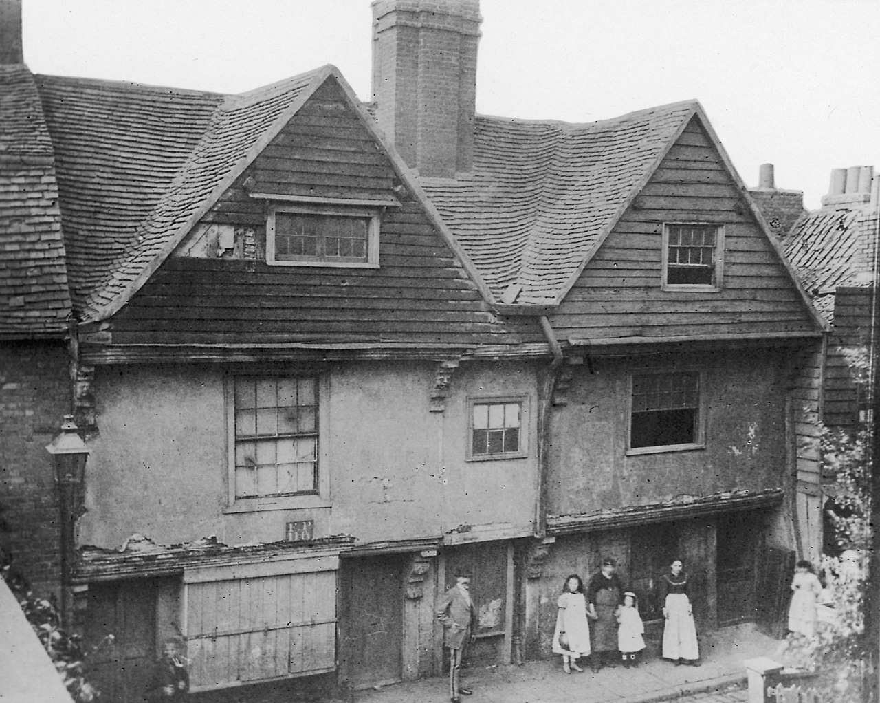
Blackwall's history is closely tied to London's maritime economy. From the early modern period onwards the riverside hosted shipbuilding, outfitting and repair yards that served merchant fleets, exploratory voyages and trade routes. The area became associated with long-distance commerce in the era when the docks handled goods and passenger traffic. Over the 19th and 20th centuries dock activity declined, and later redevelopment converted parts of the riverside to housing and commercial use while preserving elements of its nautical past.
Uses and landmarks
Today Blackwall combines residential neighbourhoods with surviving maritime facilities and transport links. Notable features include river moorings, former dock infrastructure and modern housing developments that occupy reclaimed dockland. The district is also known for road and tunnel connections under the Thames and for local rail links that serve east London and the Docklands area.
Notable facts and distinctions
- Maritime heritage: shipyards and yards historically undertook construction and repair for trading vessels.
- Dockland transition: like other Thames-side districts, Blackwall shifted from industrial docks to mixed-use and residential development.
- Transport links: the area is served by river crossings and Docklands-era rail and light-rail connections that link it to central and south-east London.
For more detailed maps, historical records and contemporary planning information, local archives and borough resources provide further reading and illustrations of how Blackwall has changed from a working riverfront to a primarily residential quarter with enduring maritime associations.
Related articles
Author
AlegsaOnline.com Blackwall, London — history, geography and modern development Leandro Alegsa
URL: https://en.alegsaonline.com/art/12033