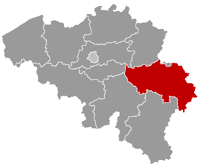
Visé — municipality on the Meuse in Liège province, Belgium
Visé is a French-speaking municipality in Liège province, Belgium, located on the Meuse near the Dutch border. It has river crossings, a mixed industrial and residential history, and notable wartime events.

Overview
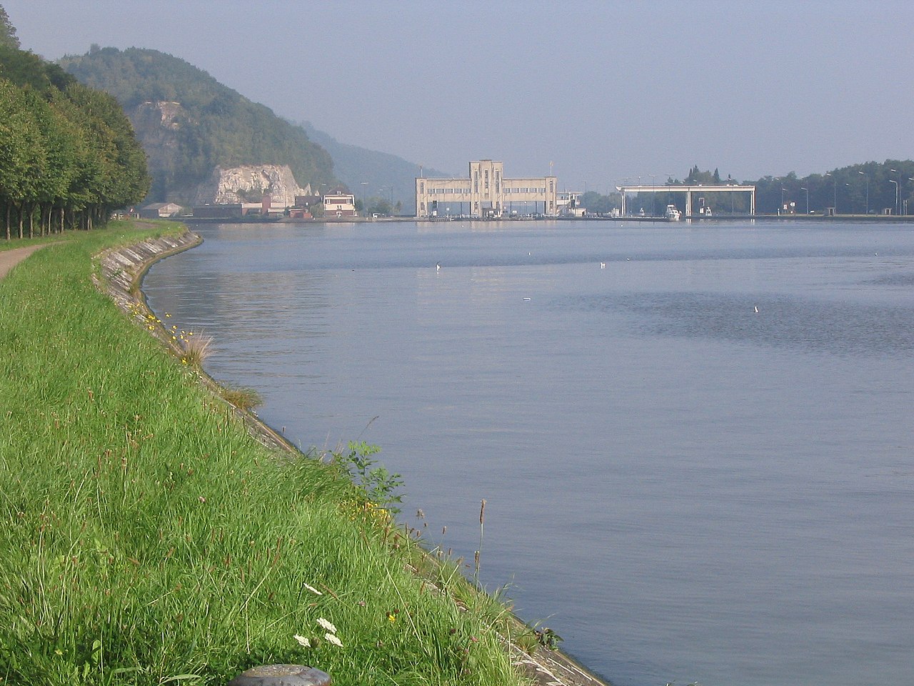
Visé is a municipality in the Walloon part of Belgium, within the province of Liège. It lies on the Meuse river close to the Dutch frontier and has long been a local hub for trade and transport. Its geographic coordinates are approximately 50°44′N, 5°41′E. In 2007 the population was about 16,800 inhabitants; more recent figures vary with municipal growth and commuting patterns.
Image gallery
10 Images


Geography and subdivisions
Situated on the left bank of the Meuse, Visé occupies a transitional zone between river plain and higher ground. The municipality includes urban neighbourhoods, former industrial sites and rural surroundings. Its riverside position has shaped settlement, transport links and flood management concerns.
History and development
Visé has medieval origins as a river crossing and market point. Over centuries it developed modest industry and rail connections that tied it to the wider Liège region. The town experienced significant wartime activity during the 20th century; its location on the Meuse made it strategically important in both world wars and influenced later reconstruction.
Economy, transport and landmarks
Local economy blends residential services, light industry and logistics linked to river and rail transport. Visitors will find riverfront walks, historic buildings and municipal facilities. Practical links to neighbouring towns and the Netherlands make Visé part of a cross-border commuter and commercial area.
Notable facts and links
- Language: primarily French, as part of Wallonia.
- Riverside location: important for trade and local recreation.
- Historical events: early 20th-century wartime damage and subsequent rebuilding.

For administrative details and current municipal services consult the municipality pages or regional resources: Wallonia overview, regional authorities and local archives provide further information.
Related articles
Author
AlegsaOnline.com Visé — municipality on the Meuse in Liège province, Belgium Leandro Alegsa
URL: https://en.alegsaonline.com/art/105605
Sources
- statbel.fgov.be : Werkelijke bevolking per gemeente op 1 januari 2007 / Population de droit par commune au 1 janvier 2007 (.xls)
- statbel.fgov.be : Geografische coördinaten van de gemeenten (.xls)