Västergötland: geography, history and cultural overview of the Swedish province
Västergötland is a historical province in southwestern Sweden known for its broad plains, medieval towns, ancient monuments and role in the early formation of the Swedish kingdom.
Overview
Västergötland is one of Sweden's traditional provinces (landskap), located in the southwestern part of the country. As a historical and cultural region rather than an administrative unit, it is often referred to in discussions of heritage, dialects and regional identity. The province is noted for its mix of agricultural lowlands, lakeshore areas and older urban centres.
Image gallery
6 Images


Geography and landscape
The most prominent landscape feature is the Västgötaslätten, a broad fertile plain that has supported farming for many centuries. The province lies near some of Sweden's largest lakes and displays a transition from open plains to forested uplands. Rivers and lakes have shaped settlement patterns and transport routes since prehistory.
History and development
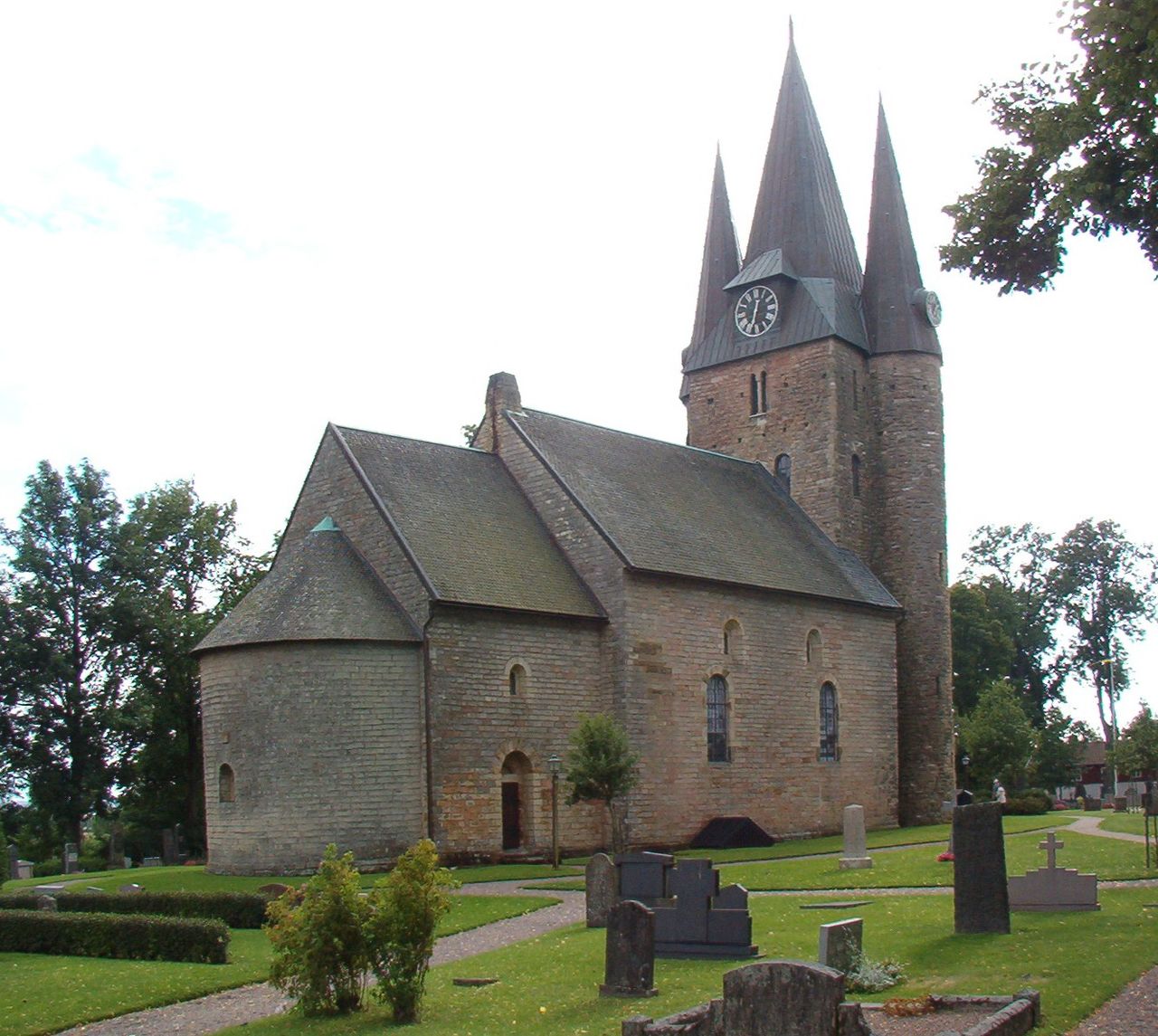
Västergötland contains many of Sweden's early medieval sites and long-standing parishes. Several towns in the province became important ecclesiastical and market centres during the Middle Ages, helping to shape the early Swedish realm. Archaeological remains, runestones and old churches attest to dense settlement and regional influence in earlier centuries.
Economy, culture and society
The plains have supported cereal cultivation, mixed farming and animal husbandry, while forests supplied timber and fuel. In modern times the area combines agriculture with industry, manufacturing and services found in its towns. Folk traditions, regional dialects and historical festivals remain part of local identity.
Notable places and features
- Historic towns and cathedral seats that preserve medieval architecture and museums.
- Wide agricultural plains known collectively as Västgötaslätten.
- Runestones, burial mounds and other archaeological traces from the Viking and early medieval eras.
Administrative note and further information
Today the territory of the province is principally contained within modern counties and does not serve as an administrative unit. For official maps and cultural resources see regional guides and national references for Sweden.
Related articles
Author
AlegsaOnline.com Västergötland: geography, history and cultural overview of the Swedish province Leandro Alegsa
URL: https://en.alegsaonline.com/art/104342
Sources
- scb.se : Statistics Sweden