Ultra-prominent peak (Ultra, P1500)
An ultra-prominent peak (Ultra or P1500) is a summit with topographic prominence of at least 1,500 m. It identifies mountains that stand out from surrounding terrain and is used in geography and mountaineering.
Overview
An ultra-prominent peak, commonly called an "Ultra" or abbreviated P1500, is a mountain summit whose topographic prominence is at least 1,500 metres (about 4,900 feet). Prominence measures how much a peak rises above the lowest contour that encircles it and no higher summit. This threshold separates truly independent mountains from subsidiary tops of higher neighbors.
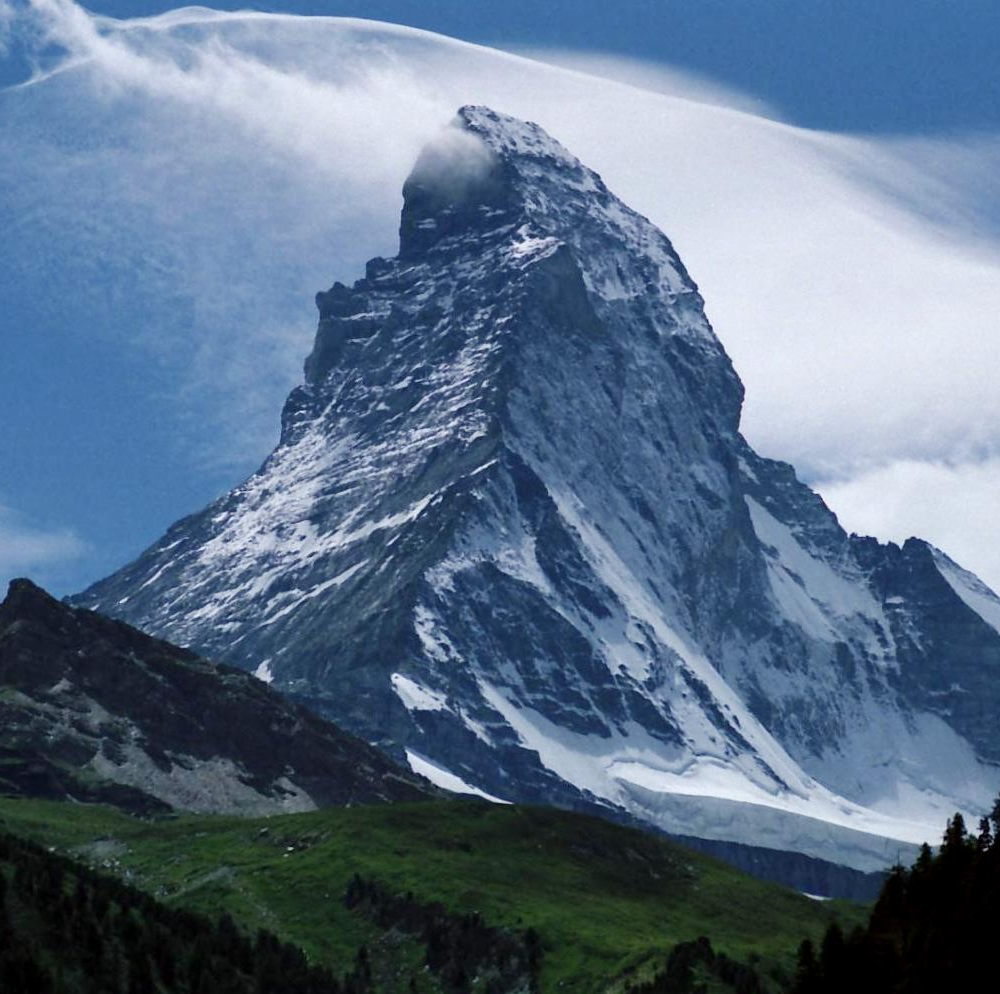
Image gallery
3 Images

Characteristics and measurement
Topographic prominence is determined by identifying the summit's key col (the lowest pass connecting it to any higher summit) and subtracting that col elevation from the summit elevation. Because prominence depends on the choice of key col and available maps, values can be revised as surveys improve. Prominence differs from elevation and from topographic isolation; all three measures together describe a peak's stature and remoteness. For further technical detail see topographic prominence.
History and lists
The idea of classifying peaks by prominence developed as cartography and mountaineering matured, offering an objective way to identify independent mountains. Enthusiasts and researchers have compiled regional and global lists of Ultras; there are roughly fifteen hundred such peaks worldwide, distributed across all continents. These lists are updated periodically as mapping and elevation data improve.
Notable examples
- Mount Everest — its prominence equals its elevation, as no higher summit exists.
- Denali, Aconcagua, Kilimanjaro, and Mount Fuji — widely known peaks that are also Ultras.
Importance and uses
Ultras are used by geographers to quantify mountain importance, by climbers as checklist objectives, and by conservationists to prioritize distinct ecosystems. Distinctiveness by prominence often correlates with cultural and scenic significance, but not always with absolute height; some lower-elevation but highly prominent peaks are regionally iconic.
Distinctions and caveats
Because the 1,500 m cutoff is a convention, different prominence thresholds exist for other lists (e.g., P600 or P100). Prominence values depend on the quality of elevation data and the method used to locate the key col, so classification can change with new surveys. For introductions and curated lists consult regional resources and the linked technical material above.
Related articles
Author
AlegsaOnline.com Ultra-prominent peak (Ultra, P1500) Leandro Alegsa
URL: https://en.alegsaonline.com/art/102696
Sources
- rhb.org.uk : "Relative hills on Earth"