Tokyo Bay
Overview of Tokyo Bay: geography, history, ports, infrastructure, environmental challenges and its role in the densely populated Kanto region of Japan.
Overview
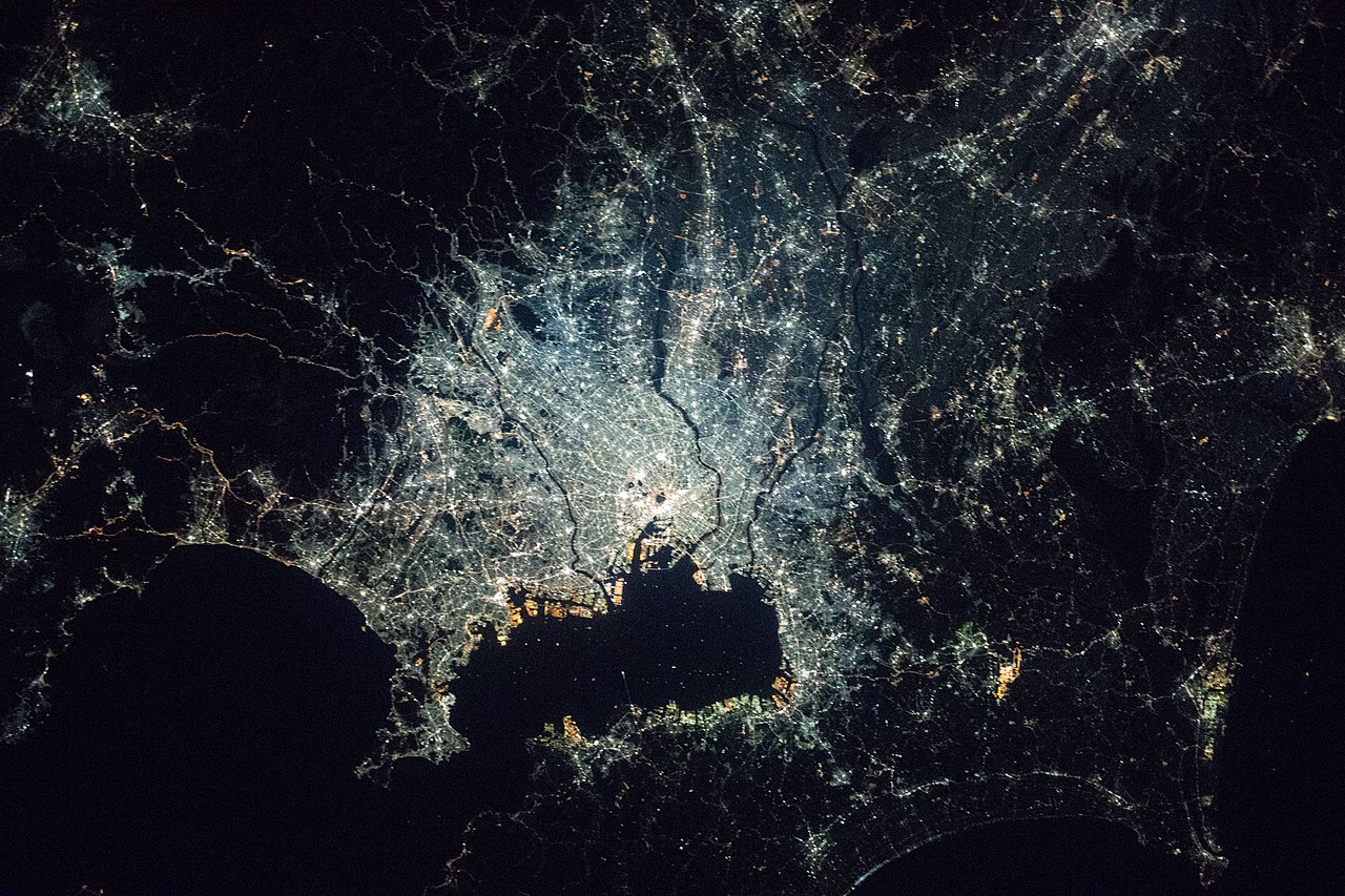
Tokyo Bay (formerly Edo Bay) is a large inlet that shapes the southern edge of the Kantō Plain and serves as the principal maritime gateway for the Tokyo metropolitan area. The bay is connected to the open Pacific by the Uraga Channel. A commonly cited central coordinate for the bay area is 35°31′21″N 139°54′34″E. Administratively, the bay touches the coasts of Tokyo, Kanagawa and Chiba prefectures within the Kantō region of Japan.
Image gallery
8 Images


Geography and physical characteristics
Tokyo Bay is a semi-enclosed body of water with an irregular shoreline that mixes natural beaches, river deltas and extensive reclaimed land. The bay's relatively shallow depths and a comparatively narrow mouth influence tidal currents, sedimentation and water exchange with the open ocean. Over centuries rivers flowing into the bay have deposited sediments that shaped coastal plains and created marshes and mudflats along many shorelines.
History and development
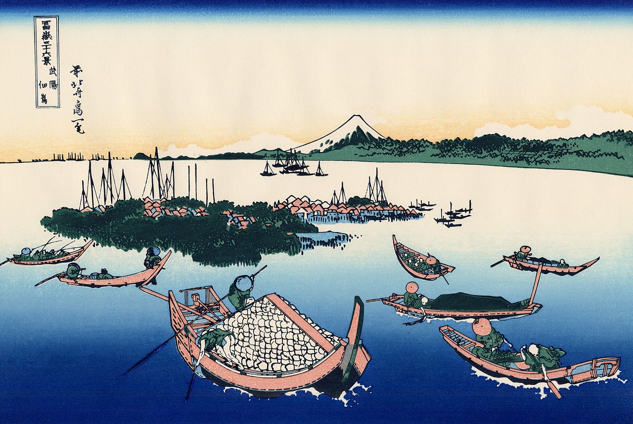
The bay has been central to the history of the region since the medieval and early modern periods, when the area around Edo grew into Japan's political and economic center. From the late 19th century onward, the shoreline was transformed by modern ports, industrial complexes and large-scale land reclamation. Port cities such as Yokohama expanded into major international gateways, while other coastal municipalities developed shipyards, factories and logistic hubs that supported national and regional growth.
Ports, transport and infrastructure
Tokyo Bay hosts major commercial and passenger ports, container terminals and ferry routes. Key transport links that cross or span the bay include the Rainbow Bridge and the Tokyo Bay Aqua-Line, a combined bridge-and-tunnel that shortens travel across the water. Haneda Airport, located on reclaimed waterfront land, is a major airport serving domestic and increasingly international flights. The bay supports heavy industry, petrochemical facilities and container shipping, and remains vital to the supply chains of the greater metropolitan economy.
Environment, conservation and management
Rapid urbanization and industrial activity have historically placed pressure on water quality, coastal habitats and fisheries. Documented issues include pollution, eutrophication, loss of wetlands and shoreline habitat through reclamation, and periodic algal blooms. To address these concerns, municipal and national authorities, research institutions and community groups have implemented wastewater treatment, pollution controls, habitat restoration and continuous monitoring programs. These efforts aim to improve water quality and revive coastal ecosystems while balancing the economic importance of port and industrial activity.
Society, recreation and urban land use
Large-scale reclamation created new districts for industry, transport and recreation. Notable man-made areas and attractions built on reclaimed land have become parts of the urban fabric used for exhibitions, parks, shopping and housing. The bay remains important for fisheries, leisure boating and waterfront recreation, and it continues to be a setting for festivals and seasonal events that draw residents and visitors from across the metropolitan area.
Significance
- Tokyo Bay is both an economic hub and a dense residential region, making coordinated coastal management essential for millions of inhabitants.
- Land reclamation has enabled port expansion, commercial development and transport infrastructure, while reducing some natural shoreline and wetland areas.
- Historically the bay served as the maritime approach to Edo (now Tokyo) and has long had strategic and commercial importance for Japan.
For authoritative and up-to-date information consult regional resources, port authorities and environmental agencies. Official charts and reports, timetables for ferries and bridges, and scientific monitoring data are maintained by local governments and specialized institutions; these resources are accessible via regional portals and transport authorities represented online, for example through geographic and coordinate references, regional overviews at Kantō and national information at Japan. Local government sites for Tokyo, Kanagawa and Chiba also publish planning documents and environmental reports, while maritime and shipping details are available from port authorities and navigation services linked through channel and ocean information.
Related articles
Author
AlegsaOnline.com Tokyo Bay Leandro Alegsa
URL: https://en.alegsaonline.com/art/100303
Sources
- worldcat.org : 56431036
- rekishi.jkn21.com : "Tokyo Bay" · web.archive.org
- worldcat.org : 173191044
- worldcat.org : 153301537