
Sherbourne Street (Edwardstone, Suffolk)
Sherbourne Street is a small settlement in the civil parish of Edwardstone, Babergh district, Suffolk, England, noted for its historical mapping references and the listed Edwardstone House.
Overview
Sherbourne Street is a minor settlement within the civil parish of Edwardstone, in the district of Babergh, county of Suffolk, England. It appears on modern mapping resources and has been recorded on national survey maps. The locality is typical of small Suffolk hamlets and consists of a short lane with scattered houses, farm buildings and gardens set in an agricultural landscape.
Image gallery
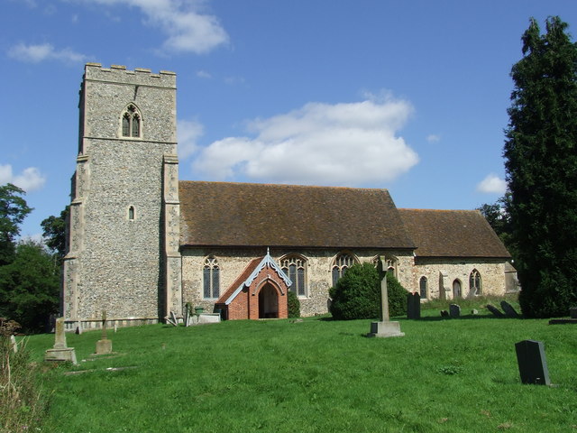
2 Images
Location and mapping
The place is shown on authoritative topographic maps compiled by the national mapping agency; consult the Ordnance Survey for current grid references and map sheets. Historical map collections and regional surveys record the settlement under variant names and show its relationship to neighbouring villages and parish boundaries. Such mapping helps trace changes in roads, field patterns and property over time.
History and name
On 19th‑century cartography and in some historical indexes Sherbourne Street has appeared with variant spellings; a recorded older form is "Shover Street" on certain period maps, reflecting the fluid spelling conventions of earlier maps and local usage. The hamlet has developed through agricultural change rather than as a planned urban centre, so its buildings and plots reflect gradual growth and adaptation.
Notable buildings
The most prominent building associated with the settlement is Edwardstone House. In the late 20th century the house was the site of Edwardstone House School, a preparatory establishment for boys aged about eight to thirteen; the school closed on 31 August 1993. The main house has statutory protection as a listed building, which recognises its architectural or historic interest and means alterations are subject to heritage controls—see the official listing entry for details at the listed building record.
Local character and importance
As a small rural place, Sherbourne Street illustrates patterns common to East Anglian settlements: proximity to arable fields, lanes rather than through roads, and a mix of vernacular buildings. It is of local interest to historians, genealogists and conservationists studying parish life, school history, and the evolution of the Suffolk countryside. Any development proposals in the area typically consider the hamlet's setting and nearby heritage assets.
Further reading and resources
- Primary mapping and current topography: Ordnance Survey.
- Parish and local history: Edwardstone parish resources.
- District-level information and planning: Babergh district.
- County overview and context: Suffolk county.
- Heritage designation and listed building details: listed building record.
Related articles
Author
AlegsaOnline.com Sherbourne Street (Edwardstone, Suffolk) Leandro Alegsa
URL: https://en.alegsaonline.com/art/89674
Sources
- genuki.org.uk : GENUKI
- ordnancesurvey.co.uk : "OS Maps - online and App mapping system - Ordnance Survey Shop"
- visionofbritain.org.uk : "Old maps of Britain and Europe from A Vision of Britain Through Time"
- books.google.com : "Which School?"
- schooletc.co.uk : "Edwardstone House School, Edwardstone, Colchester: Schools in Colchester"
- edwardstone-house-school.ukspots.com : edwardstone-house-school.ukspots.com
- britishlistedbuildings.co.uk : "Edwardstone House, Edwardstone, Suffolk"