Sagamihara, Kanagawa — city overview and key facts
Sagamihara is a major city in north-central Kanagawa Prefecture, Japan. A commuter and regional commercial hub divided into three wards, it blends urban districts, transport links and green, hilly areas to the west.
Overview
Sagamihara (Japanese: 相模原市) is a city in north-central Kanagawa Prefecture, Japan, located near the Tokyo metropolitan area. It is the prefecture's third most populous municipality after Yokohama and Kawasaki. The municipality combines dense residential and commercial districts in its eastern areas with more open, wooded and hilly terrain to the west on the edge of the Tanzawa range.
Image gallery
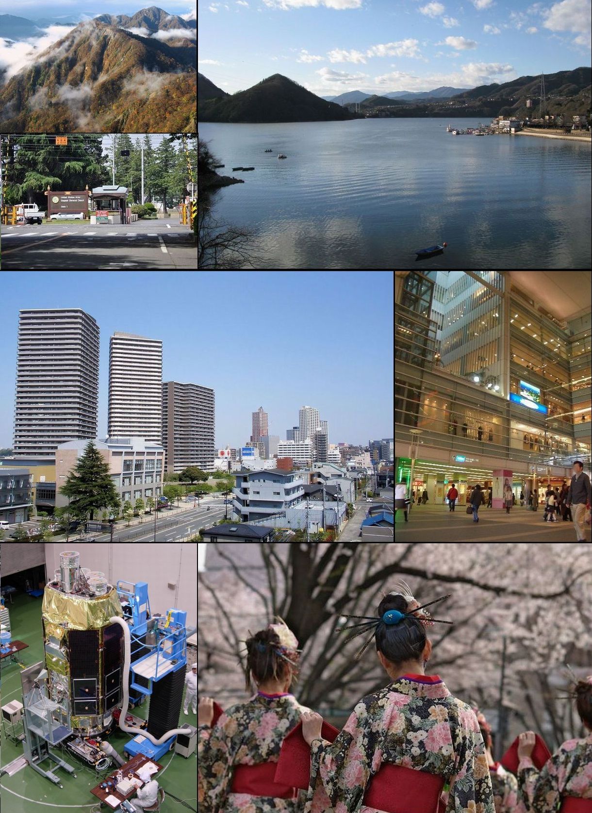
8 Images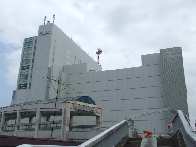


Geography and administration
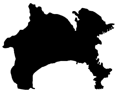
Sagamihara sits on the Kantō Plain and extends westward toward foothills and forests. In 2010 the city received government-designated (designated city) status and was subdivided into three wards: Chūō-ku (Central), Midori-ku (Green) and Minami-ku (South). These wards provide local services through ward offices while overall policy and planning are managed by the city government; further municipal information is available from prefectural resources and the municipal pages.
History and development
The area that became modern Sagamihara was historically made up of rural towns and agricultural land. During the postwar period and especially from the 1960s onward it underwent rapid urbanization as the Greater Tokyo area expanded. Municipal mergers and population growth transformed it into a large suburban and regional centre, culminating in the designated-city status that expanded its administrative autonomy. For historical summaries see historical overviews and local history references.
Demographics and society
Sagamihara's population includes long-term residents and many commuters who travel to Tokyo and nearby cities for work. The city hosts a mix of housing types, community facilities and public services. Social infrastructure includes municipal hospitals, community centers and branch ward offices that handle daily administrative needs.
Economy and transport
The city's economy is shaped by its role as a commuter base and regional commercial hub, together with light industry, logistics and retail. Good transport connections are central to this role. Major rail hubs and lines serving the city include:
- Hashimoto Station (JR Yokohama Line / Keio Sagamihara Line)
- Sagamihara Station (JR Yokohama Line)
- Sagami-Ōno Station (Odakyu Odawara Line)
These stations support shopping streets, office clusters and commuter flows. For planning and transit information consult regional transport resources.
Education and research
Sagamihara is served by a range of educational institutions, from primary and secondary schools to higher education and vocational training. Several campuses, research facilities and private institutions contribute to local life and the knowledge economy; prospective students and researchers can find more detail on municipal education pages and institutional sites.
Culture, parks and recreation
The city offers cultural facilities, shopping complexes and community events alongside parks, riverside promenades and hiking areas in its western hills. These green spaces are important for recreation, seasonal viewing and outdoor activities. Visitor information and event listings are available through tourism pages and local event guides.
Government, services and statistics
Sagamihara operates a mayor–council form of government with a city council and ward offices handling day-to-day administration. Public services include welfare programs, disaster preparedness planning and urban development initiatives. Official statistics, contacts and civic resources can be found via government statistics and contacts.
Nearby facilities of wider regional significance include transportation links into central Tokyo and military and diplomatic facilities located within the wider Kanagawa area. The city's mix of commuter functions, commercial centers and accessible green spaces makes it an important part of the Tokyo metropolitan periphery while retaining local character and services for residents.
Related articles
Author
AlegsaOnline.com Sagamihara, Kanagawa — city overview and key facts Leandro Alegsa
URL: https://en.alegsaonline.com/art/85240