Balkan Mountains (Stara Planina): geography, peaks, ecology, and human significance
The Balkan Mountains (Stara Planina) are a major east–west range across central Bulgaria into Serbia, notable for Botev Peak, diverse ecosystems, historic passes and protected areas including Central Balkan National Park.
Overview
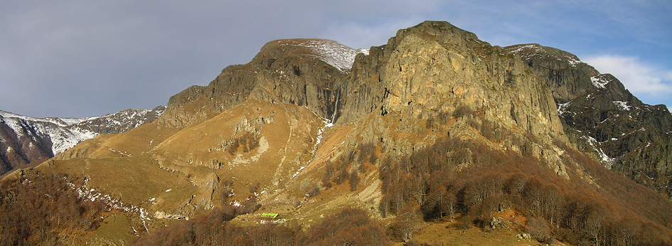
The Balkan Mountains, known locally as Stara planina (Old Mountain), form a prominent east–west chain that crosses central Bulgaria and reaches into eastern Serbia. The range is commonly treated as a continuation of the Carpathian system, though it is separated from the main Carpathians by the lower Danube corridor. Stretching from the Serbian border to the Black Sea at Cape Emine, the massif has long been a defining physical and cultural feature of the region.
Image gallery
10 Images


Geography and geology
The main crest runs roughly 560 km from eastern Serbia through central Bulgaria to Cape Emine on the Black Sea. In geographic discussions the Balkan range is often linked to neighboring systems: it is considered an extension of the Carpathian mountain structure and lies north of the Danube, which separates the two systems (Danube). Local names and spellings are preserved in several languages; for example the range is written as Stara planina in both Bulgarian and Serbian traditions (Bulgarian, Serbian).
Peaks, passes and notable summits
Although the highest summits of the Balkan Peninsula are in neighboring ranges — notably Musala (Rila) and Mount Olympus in Greece — the Stara planina contains important high points of its own. The range's tallest peak is Botev, rising to about 2,376 m and located within Central Balkan National Park (established 1991). Other well-known peaks and strategic crossings occur along the ridge; several historic and modern routes traverse the mountains through passes such as Shipka and others that have been used for centuries by trade and armies. Readers seeking a map or general overview can consult a regional guide (Balkan Mountains).
Ecology and protected areas
The mountains support a wide array of habitats from deciduous forests on lower slopes to alpine meadows and rocky summits. Central Balkan National Park protects large tracts of intact mountain ecosystems, while additional reserves and nature parks conserve endemic plants, large mammals and important bird species. Conservation efforts focus on balancing traditional pastoralism, forestry and modern tourism with the protection of watersheds and biodiversity.
Human history and cultural importance
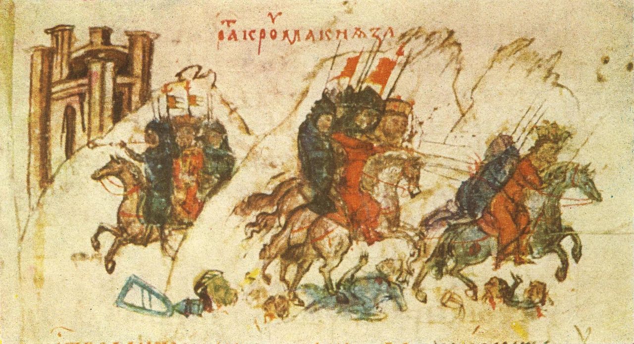
Stara planina has long been a cultural boundary and corridor. It appears in local folklore and national histories, and it has served as a natural defense line and a barrier to large-scale movement. Towns, monasteries and historic battlefields lie in its foothills. Transportation infrastructure — roads, tunnels and railways — have progressively linked northern and southern regions, while the mountains remain an attraction for hiking, winter sports and nature tourism. For more on the human dimension see regional cultural resources (Balkan peninsula, Sofia).
Relations to nearby ranges and final notes
Geographers distinguish the Stara planina from nearby massifs such as Rila and Pirin to the southwest; although close in location, these ranges differ in geology, elevation and glacial history. The highest mountain of the peninsula, Musala in the Rila Mountains, reaches about 2,925 m, and other major peaks such as Vihren in the Pirin and Mount Olympus in Greece are often compared in regional accounts (Rila, Carpathian references). For historical maps, travel information and conservation status consult specialist sources and national park sites (Danube, Serbia, Bulgaria, Cape Emine, Bulgarian name, Serbian name).
Tags
Related articles
Author
AlegsaOnline.com Balkan Mountains (Stara Planina): geography, peaks, ecology, and human significance Leandro Alegsa
URL: https://en.alegsaonline.com/art/8504