River Wear
River in northeast England rising at Wearhead, flowing through County Durham and Durham city to the North Sea at Sunderland; known for Durham Cathedral, historic industry and recreational use.
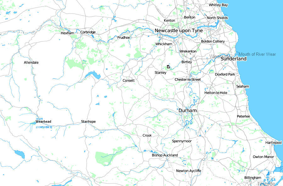
The River Wear is a prominent river in northeast England. It rises on the uplands at Wearhead and follows a winding course through County Durham before reaching the coast. For much of its length the Wear traverses rural valleys, market towns and the historic city of Durham, finally discharging into the North Sea at Sunderland.
Image gallery
10 Images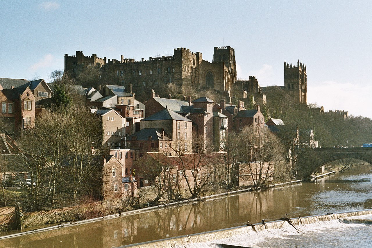


Characteristics and course
The Wear is roughly sixty miles (about 97 km) long and drains a varied catchment across the Durham fells and lowlands. Its upper reaches are typical of Pennine headwaters, with steeper slopes and moorland streams joining to form the main channel. Downstream the valley broadens and the river meanders through agricultural land and built-up areas.
Towns, tributaries and landmarks
- Notable settlements along the Wear include Wolsingham, Bishop Auckland, Durham and Chester-le-Street.
- Major tributaries and feeders contribute to its flow and include smaller rivers and becks from the surrounding hills.
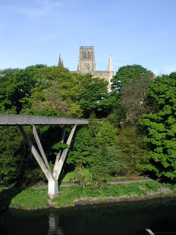
- Durham city is set on a pronounced loop of the river; the cathedral and castle occupy a dramatic riverside peninsula.
History and economic importance
The Wear valley played an important role in regional history. From medieval times river bends and fords influenced settlement patterns, and from the 18th century onward the river and its banks supported mills, coal workings and related industries. Sunderland, at the river mouth, became a centre for shipbuilding and maritime trade while upriver communities were shaped by mining and manufacturing.
Ecology, recreation and cultural notes
The river supports a range of wildlife, including migratory fish such as salmon and trout, and is used for angling, boating and riverside walking. Durham hosts rowing and regatta events on stretches of the Wear. Flooding and water quality have been ongoing management concerns addressed through local conservation and environmental programmes.
Compared with other northeast rivers the Wear is distinctive for its deep meanders through Durham and the combination of scenic, historic and industrial heritage along its banks. For further regional context and maps consult local resources and guides.
Related articles
Author
AlegsaOnline.com River Wear Leandro Alegsa
URL: https://en.alegsaonline.com/art/83140
Sources
- tools.wmflabs.org : 54°55′N 1°22′W / 54.917°N 1.367°W / 54.917; -1.367