River Wyre
The River Wyre is a 28-mile (45 km) river in Lancashire, England, draining to the Irish Sea at Fleetwood. Its estuary and surrounding habitats support wildlife, recreation and local communities.
Overview
The River Wyre is a relatively short river in Lancashire, England, running roughly 28 miles (45 km) from its upland beginnings to the coast. It opens into the Irish Sea at the town and port of Fleetwood. The river and its estuary form a distinct landscape feature in this part of north‑west England and have been recognised for their biological value as a County Biological Heritage Site.
Image gallery
5 Images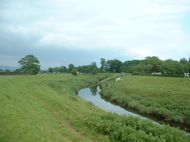


Course and characteristics
The Wyre flows through a mix of rural and urban areas, passing near market towns and farmland. Its lower reaches widen into a tidal estuary with mudflats, salt marshes and channels shaped by tides. These tidal dynamics influence navigation, sedimentation and the distribution of habitats along the river.
Ecology and conservation
The estuary and adjoining wetlands support a variety of waterfowl, waders and estuarine plants. Such habitats are important for birds on migration and for local biodiversity. Conservation interest focuses on protecting intertidal zones, freshwater reaches and riparian corridors from development and pollution.
History and human use
Historically the Wyre supported small‑scale industry, mills and local trade tied to nearby towns. The estuary has influenced settlement patterns and provided access to the sea for fishing and shipping. Over time, uses have shifted toward recreation and conservation alongside continuing local economic activities.
Recreation and access
Today the river is used for leisure pursuits such as angling, birdwatching and boating where conditions permit. Paths and country lanes along parts of the Wyre allow walkers to experience its varied scenery, from riverine channels to open estuary views.
Notable points
- The Wyre’s estuary is a key natural feature on Lancashire’s coastline.
- Local stewardship and planning aim to balance community use with habitat protection.
- Visitors can explore tidal flats and nearby coastal reserves, observing seasonal wildlife.
Related articles
Author
AlegsaOnline.com River Wyre Leandro Alegsa
URL: https://en.alegsaonline.com/art/83142