Ridge (meteorology)
A ridge is an elongated region of relatively high atmospheric pressure that produces subsidence, stable weather, and warm conditions. Ridges contrast with troughs and play a key role in large-scale weather patterns.
Overview
A ridge in meteorology is an extended area where atmospheric pressure is higher than in the surrounding environment. Ridges appear at the surface and in the upper atmosphere and are the large-scale counterpart to localized high-pressure centers. They are commonly shown on weather charts as a bulging of isobars or height contours and are the opposite of a trough.
Image gallery
4 Images

Structure and formation
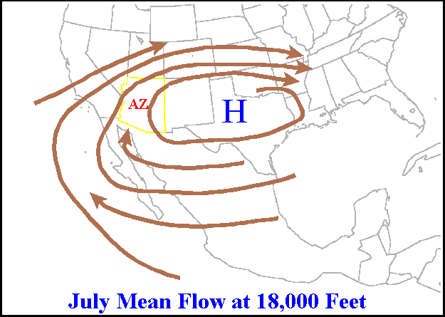
Ridges develop as part of planetary-scale wave patterns—often called Rossby waves—in the mid-latitude westerlies. An upper-level ridge corresponds to a northward bulge in geopotential height fields. Important parts of a ridge include the axis (the centerline of highest pressure) and the flanks where pressure gradients and winds change.
Typical characteristics
- Subsiding (sinking) air that warms and dries adiabatically
- Light winds near the axis and reduced cloudiness
- Temperature anomalies such as warm spells under persistent ridging
- Slow-moving or blocking ridges can cause prolonged clear, dry conditions
Weather effects and examples
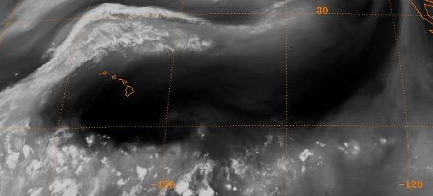
Because ridges promote subsidence and stability, they are associated with fair weather, reduced precipitation, and increased daytime heating. Long-lived ridges have been linked to heat waves, drought, and poor air quality in many regions. Ridges also influence the path of storms by steering parcels around the bulge and modifying jet stream paths.
Observation and forecasting
Meteorologists identify ridges on surface pressure maps and on upper-air charts using contour patterns and geopotential heights. Forecast models track ridge amplification and propagation because changes in ridging can rapidly alter temperature and precipitation patterns. For basic definitions and related concepts see high-pressure systems.
Distinctions and notable facts
Distinguish between a surface ridge (influencing near-surface weather) and an upper-level ridge (controlling larger-scale flow). Ridges are integral to the alternating ridge–trough pattern of mid-latitude weather and play a central role in seasonal anomalies when they become stationary or block typical storm tracks.
Related articles
Author
AlegsaOnline.com Ridge (meteorology) Leandro Alegsa
URL: https://en.alegsaonline.com/art/82827