Northwestern Oklahoma
Regional overview of northwestern Oklahoma, covering the Oklahoma Panhandle, landscape, history, economy, and notable geographic and cultural features.
Overview
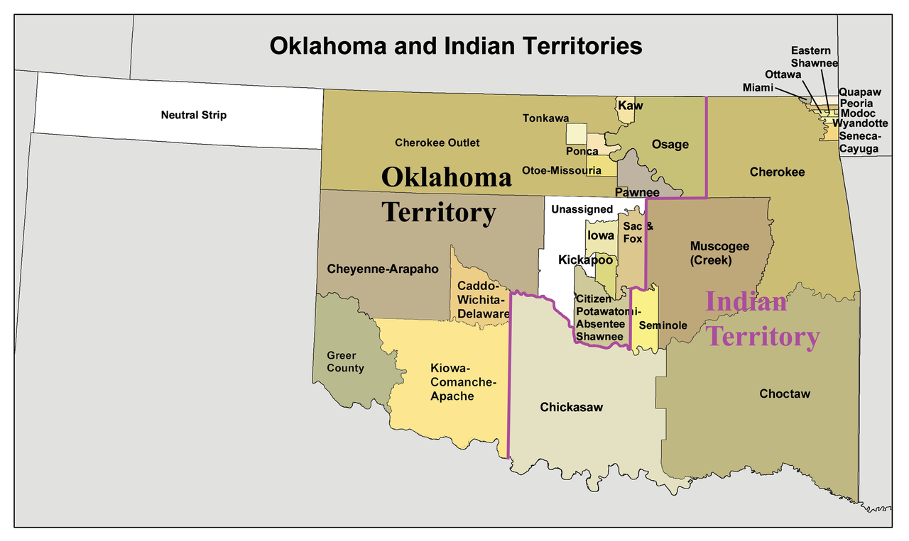
Northwestern Oklahoma denotes the portion of the state that includes the Oklahoma Panhandle and the adjoining high plains and rolling prairies to its east and south. The area is commonly bounded on the west by the Texas and New Mexico borders, on the north by Kansas, on the east roughly along Interstate 35, and on the south by the Canadian River in many local definitions. It is a region defined more by landscape and land use than by a single political boundary; some descriptions also note its reach as far as Noble County on the southern edge.
Image gallery
3 Images

Geography and environment
This part of Oklahoma sits within the Great Plains. The Oklahoma Panhandle is characterized by expansive shortgrass prairie, sand hills, and isolated mesas such as Black Mesa—the state's highest point. Much of the region lies above portions of the Ogallala Aquifer, and irrigation and groundwater management are important for agriculture. Weather is continental and can include severe thunderstorms, tornadoes, and occasional drought.
Characteristics and land use
Land use in northwestern Oklahoma emphasizes farming and ranching. Typical agricultural activities include:
- Dryland farming of wheat, sorghum, and forage crops
- Cattle ranching and hay production
- Localized irrigation where aquifer access permits
- Energy development including oil, natural gas and growing wind power installations
History and development
The Panhandle was long known as "No Man's Land" in the 19th century before being attached to Oklahoma Territory; settlement accelerated with ranching and later agricultural expansion. The area was severely affected by the Dust Bowl of the 1930s, an event that reshaped farming practices and federal land policy. Indigenous peoples inhabited and traversed these plains for millennia before Euro-American settlement.
Notable facts and distinctions
Northwestern Oklahoma is relatively sparsely populated compared with the state's urban centers. Parts of the Panhandle observe Mountain Time while most of the state is Central Time. For general information about the state and administrative context see Oklahoma. For more local orientation, consult resources on the Panhandle, the route of Interstate 35, river systems like the Canadian River, or relevant county pages such as Noble County.
Related articles
Author
AlegsaOnline.com Northwestern Oklahoma Leandro Alegsa
URL: https://en.alegsaonline.com/art/71093