Interstate 35 (I-35): major north–south corridor from Laredo to Duluth
Interstate 35 is a principal north–south U.S. Interstate, about 1,568 miles long, linking Laredo, Texas at the Mexico border with Duluth, Minnesota and connecting multiple regional economies.
Overview
Interstate 35 (I-35) is a primary north–south route of the United States Interstate Highway System. It extends from Laredo, Texas, at the U.S.–Mexico border up to Duluth, Minnesota, covering approximately 1,568.38 miles. The corridor links border traffic, major metropolitan areas and inland ports, forming a backbone for regional travel and freight movement across the central United States. For background on the national network see Interstate Highway System.
Image gallery
7 Images


Route and characteristics
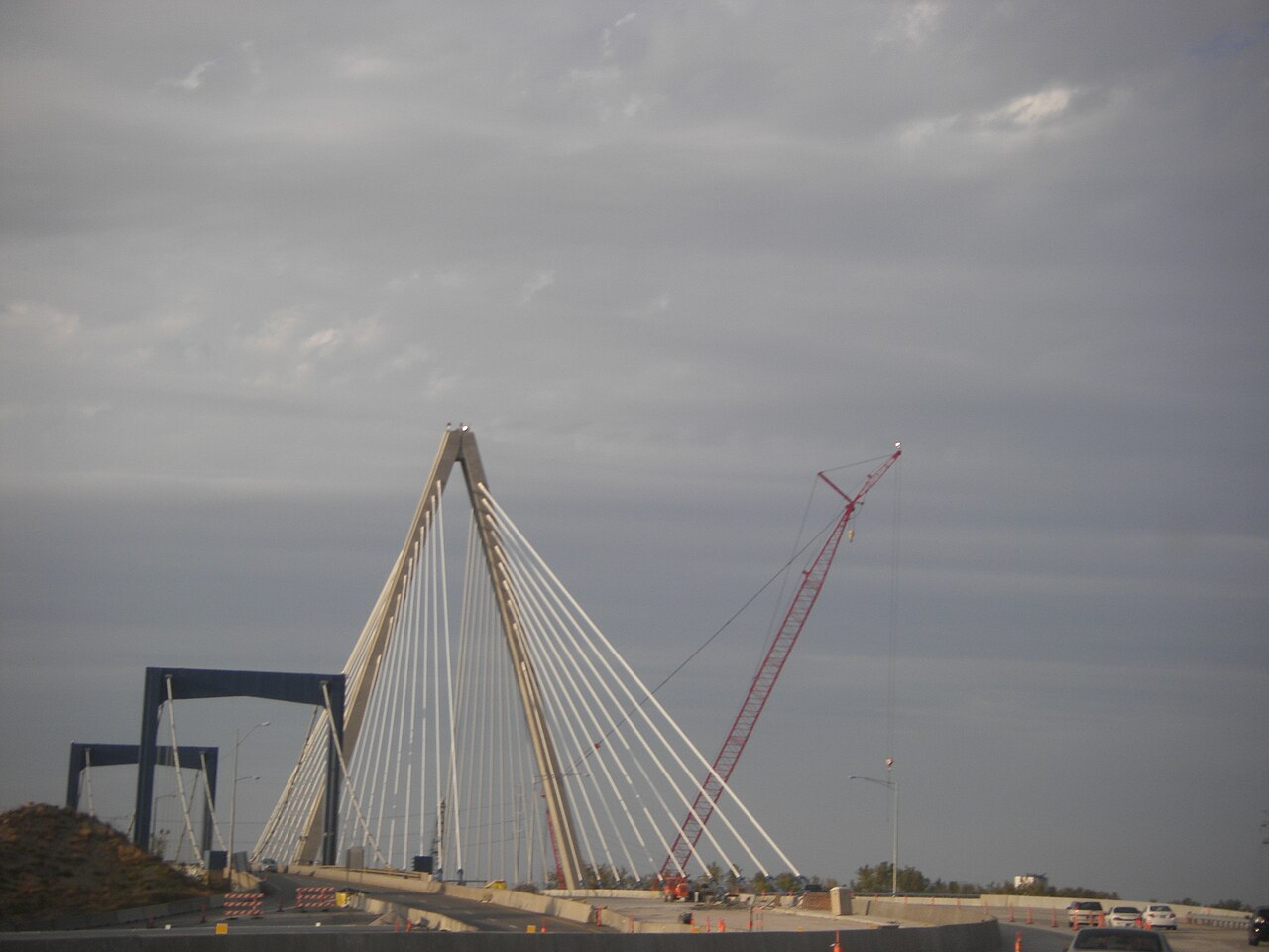
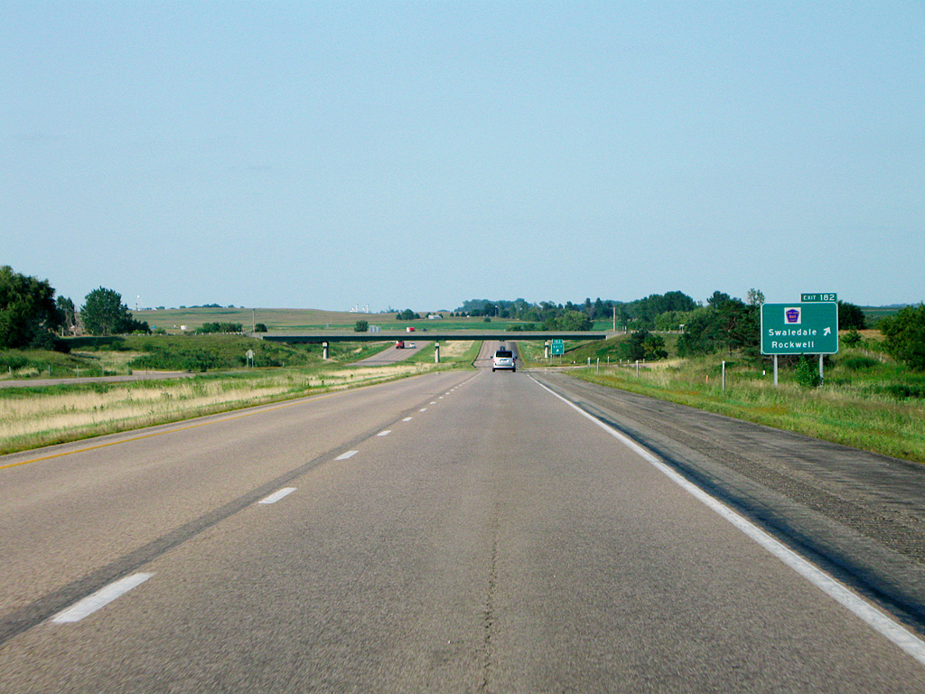
I-35 traverses several states and changes character along its length. In Texas it functions as an urban freeway through cities such as San Antonio and Austin; farther north it alternates between multi-lane interstate and rural divided highway sections. The route splits into western and eastern branches in two metro areas — I-35W and I-35E in the Dallas–Fort Worth region and again through the Minneapolis–Saint Paul area — before rejoining its mainline. The highway begins at the international crossing at Laredo, Texas and terminates at Duluth, Minnesota.
Major cities and connections
- Examples of larger cities along I-35 include San Antonio, Austin, Waco, Dallas–Fort Worth, Oklahoma City, Wichita, Kansas City, Des Moines, and the Twin Cities.
- The route links to cross-country and regional arteries, supporting both long-distance travel and local commuter flows.
History and development
Like other Interstates, I-35 was planned and constructed in segments through the mid-20th century as part of the federal program to create a national high-speed network. Its alignment reflects earlier trade and migration corridors running north–south through the central United States. Over time urban growth required widening, bypasses, and the creation of the I-35E/I-35W splits to accommodate dense twin-city regions.
Uses, economic importance and notable facts
I-35 serves passenger travel, commuter traffic and an extensive volume of truck freight, particularly as a link between Mexico and interior U.S. markets. It is important for agriculture, manufacturing and cross-border commerce. The highway also offers access to recreational and natural areas in several states and is a frequent focus of infrastructure investment and improvement projects.
Incidents and resilience
Sections of I-35 have periodically been disrupted by severe weather and other events. For example, in June 2015 parts of the route were closed by flooding and a subsequent rock slide associated with Tropical Storm Bill; portions reopened progressively as repairs and emergency responses allowed. The corridor's heavy use and varied terrain make maintenance and emergency planning ongoing priorities for state and federal agencies involved in its stewardship.
For details on local crossings and travel advisories at endpoints and border links, consult resources for Mexico–United States border crossings and regional transportation authorities along I-35.
Related articles
Author
AlegsaOnline.com Interstate 35 (I-35): major north–south corridor from Laredo to Duluth Leandro Alegsa
URL: https://en.alegsaonline.com/art/47772
Sources
- historicwaco.org : "Interstate 35 dramatically changed Waco's face"
- fhwa.dot.gov : "Table 1: Main Routes of the Dwight D. Eisenhower National System Of Interstate and Defense Highways as of October 31, 2002"
- nbcdfw.com : "Portion of Highway Between Dallas-Fort Worth and Oklahoma City Closes Indefinitely"