Ngounié Province (Gabon)
Ngounié is one of Gabon's nine provinces in the south-central part of the country. Its capital is Mouila. The province is known for rainforest, river systems, local agriculture, and cultural diversity.
Overview
Ngounié is one of the nine provinces of Gabon, with its administrative capital at Mouila. Located in the southern-central part of the country, the province takes its name from the Ngounié River, a major waterway that shapes local settlement and transport patterns.
Image gallery
1 Image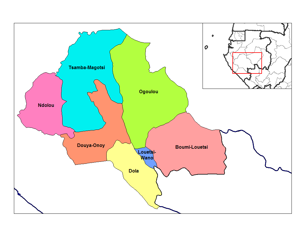
Geography and environment
The landscape is dominated by tropical rainforest, interspersed with river valleys and low hills. The climate is equatorial, with pronounced wet and dry seasons that influence farming cycles and river navigation. The Ngounié River and several tributaries provide freshwater habitats and sustain local agriculture and fishing livelihoods.
History and administration
Like the rest of Gabon, the area that is now Ngounié was settled by diverse Bantu-speaking peoples before coming under French colonial administration in the 19th and 20th centuries. Following Gabon's independence in 1960, the territory was organized into a provincial administrative unit. The province is subdivided into departments and communes for local governance, with Mouila as the main urban center.
Economy, society and culture
Economic activity in Ngounié centers on subsistence and smallholder agriculture (including root crops and plantains), forestry, fishing and local trade. The province is home to several Gabonese ethnic groups, who maintain distinct cultural practices and festivals. Population density is lower than in coastal urban areas, with most people living in rural villages or in Mouila.
Conservation, tourism and notable features
Ngounié contains significant tracts of rainforest and portions of protected areas that conserve wildlife and biodiversity. These natural assets, together with river scenery and traditional villages, support modest ecotourism and research activities. The province plays a role in national timber and natural-resource discussions while also being valued for its cultural heritage and riverine landscapes.
Related articles
Author
AlegsaOnline.com Ngounié Province (Gabon) Leandro Alegsa
URL: https://en.alegsaonline.com/art/69883
Sources
- hdi.globaldatalab.org : "Sub-national HDI - Area Database - Global Data Lab"