New Madrid County, Missouri
County in Missouri's Bootheel on the Mississippi River floodplain, centered on the city of New Madrid; noted for agriculture, river commerce and the New Madrid seismic zone.
Overview
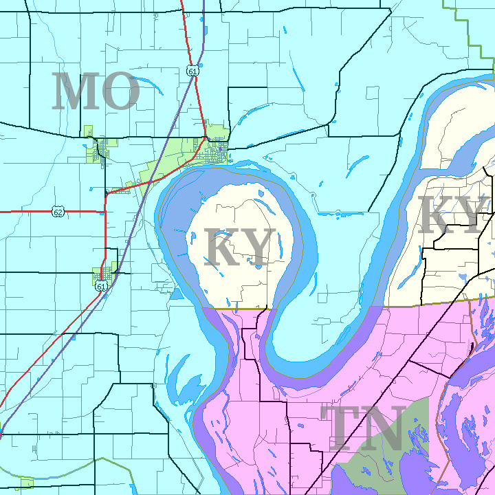
New Madrid County sits in Missouri's southeastern "Bootheel," a low-lying region shaped by the Mississippi River. The county occupies broad alluvial plains composed of rich soils and backwater wetlands. The county seat and largest city is New Madrid, a community with deep ties to river transport and early European settlement.
Image gallery
2 Images
History
European presence in the area began in the late 18th and early 19th centuries under French and Spanish influence. The county's landscape and settlement patterns were profoundly affected by river dynamics and by a sequence of powerful earthquakes in the winter of 1811–1812, events associated with the New Madrid seismic zone.
Geography and environment
New Madrid County's terrain is dominated by floodplain, levees and meander scars of the Mississippi River. Agriculture, managed wetlands and riparian habitats are prominent. Seasonal flooding and sediment deposition have created soils well suited to row crops and wetland vegetation; flood protection and levee systems are important elements of local planning.
Seismic significance
The county gives its name to the regional seismic zone, which is studied for intraplate earthquake risk across the central United States. The 1811–1812 earthquakes produced notable changes to rivers and the surrounding landscape and remain a reference point for preparedness and research.
People, economy and communities
Population and settlement range from the city of New Madrid to smaller towns and rural areas. In the 2010 census, the county recorded just under 19,000 residents. Agriculture—including commodity row crops—along with river-related commerce and services underpin the local economy.
Infrastructure, governance and recreation
Transportation includes Mississippi River navigation and a network of highways and local roads. County government, board commissions and emergency agencies coordinate floodplain management and earthquake preparedness. Outdoor recreation centers on river scenery, hunting, fishing and birdwatching at wetlands and conservation areas; visitors can consult state and local resources such as regional information and county offices for details. Basic civic and educational services are provided by local school districts and municipal entities; more information about the city is available from city information and demographic releases like those accessible via state and federal portals.
Further resources
Researchers, residents and visitors seeking maps, safety guidance or historical interpretation may refer to local archives and online portals; general overviews and official contacts are available through county and state pages, including summaries at county overview and statistical releases at census sources.
Related articles
Author
AlegsaOnline.com New Madrid County, Missouri Leandro Alegsa
URL: https://en.alegsaonline.com/art/69563