
Mureș (river)
The Mureș (Romanian: Mureș; Hungarian: Maros) is a 761 km river in Eastern Europe, rising in the Carpathians and flowing through Romania into Hungary where it becomes a tributary of the Tisza.
The Mureș (Romanian: Mureș, Hungarian: Maros, Latin: Marisus, Croatian: Moriš, German: Mieresch, Serbian: Мориш) is a 761-kilometre river in Eastern Europe. It rises in the Eastern Carpathians, flows generally westward across Transylvania and into Hungary, where it becomes a significant tributary of the Tisza. The river crosses diverse landscapes and has played a central role in regional settlement and transport for centuries.
Image gallery
9 Images




Characteristics
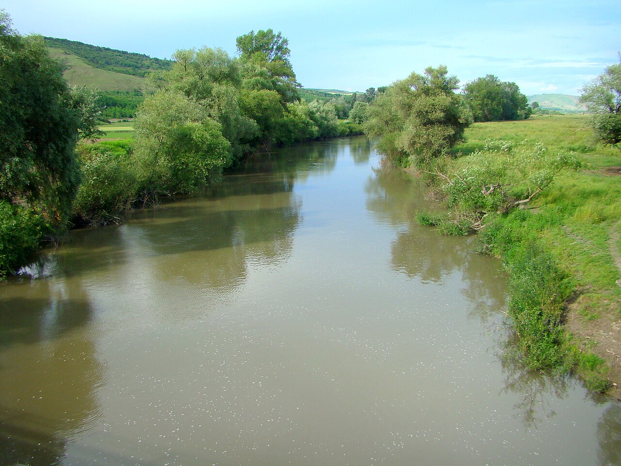
The Mureș drains a large basin of uplands and plains. Its course includes mountain headwaters, narrow valleys and broad floodplains. Notable right- and left-bank tributaries feed the river along its route, and parts of the channel are used for local navigation and irrigation. The Mureș is part of the larger Danube watershed through its connection to the Tisza.
- Length: 761 km (as commonly reported)
- Countries: Romania and Hungary
- Environments: Carpathian source areas, agricultural plains, urban corridors
Major towns and cities developed on its banks, reflecting the river's importance for water supply, trade and communication. Urban centres vary from market towns in Transylvania to Hungarian lowland settlements closer to its confluence with the Tisza.
History and human uses
The Mureș has long been a corridor for movement of people, goods and cultural influences between the Carpathians and the Pannonian Plain. Historically it marked political boundaries at times and supported mills, fisheries and small-scale navigation. In modern times the river is used for irrigation, industrial water needs and limited hydro-technical works; flood management and habitat protection are ongoing concerns.
Ecologically, the Mureș supports riparian woodlands, wetlands and a variety of aquatic life. Conservation efforts focus on preserving floodplain habitats and improving water quality. For readers seeking maps, hydrological data or more detailed cultural history, consult regional hydrology sources and local heritage collections accessible through major libraries and institutional portals.
Further reading and resources can be found via institutional pages and regional guides that cover Transylvanian rivers and Central European waterways. These sources provide topographic maps, navigation charts, and historical studies for those wanting a deeper examination of the Mureș basin.
Related articles
Author
AlegsaOnline.com Mureș (river) Leandro Alegsa
URL: https://en.alegsaonline.com/art/67620