Mount Tamalpais: Marin County’s Coastal Mountain
Mount Tamalpais (Mount Tam) is the highest peak in the Marin Hills, north of San Francisco. It is valued for recreation, redwood groves, grasslands, coastal views and protected watershed lands.
Overview
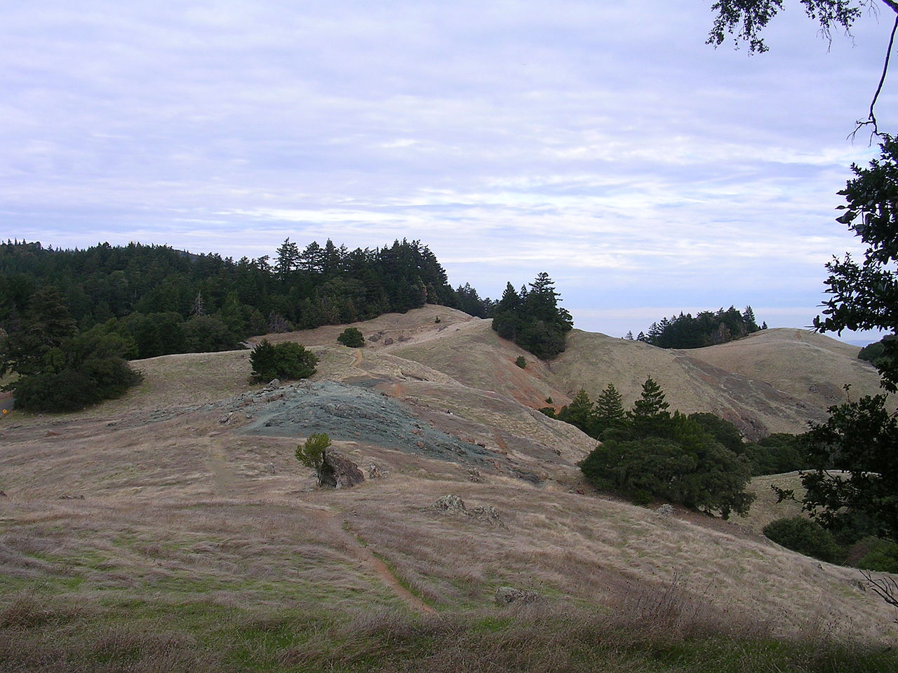
Mount Tamalpais, commonly called "Mount Tam," rises above Marin County and is a prominent landmark for the northern San Francisco Bay Area. The mountain forms the highest ground in the Marin Hills and consists of several close summits. The West Peak is the highest point at about 2,574 feet, and the East Peak reaches about 2,572 feet above sea level. Large parts of the mountain are protected public lands, including Mount Tamalpais State Park and watershed lands that supply or protect municipal water sources. For regional context see Marin County.
Image gallery
10 Images


Geography and geology
Mount Tamalpais sits near the Pacific Coast and is part of the outer ranges of the California Coast Ranges. Its steep slopes, ridgelines and small drainages reflect a mix of sedimentary and metamorphic rock common to the area. The mountain’s position close to the ocean influences weather patterns, creating frequent coastal fog and strong onshore winds that shape vegetation and erosion patterns. For discussion of the broader landscape see Marin Hills.
Landscape and ecology
The mountain supports a mosaic of habitats shaped by elevation, exposure and fog. Lower, shaded slopes hold mixed evergreen forests and pockets of coast redwood; sunnier ridges and benches support grassland, chaparral and oak woodland. Fog drip sustains moist microclimates and contributes to a rich understory of ferns and herbs. Wildlife includes a variety of birds, mammals and amphibians typical of northern California coastal ranges. Native plant communities coexist alongside areas influenced by past grazing, fire, and invasive species.
Human history and cultural significance
Mount Tamalpais has long been significant to Indigenous peoples and later to settlers and city residents seeking recreation and views. In the late 19th and early 20th centuries the mountain became a popular destination for day-trippers from San Francisco; a scenic railway and early trails helped establish its reputation as a place for outdoor gatherings, theater performances and nature study. Today it is often regarded as a symbol of Marin County and regional natural heritage; more on local identity appears at symbol of Marin County.
Recreation and access
The mountain features an extensive network of trails used for hiking, trail running and mountain biking where permitted. Classic routes include portions of long-distance trails that descend toward the coast and connections to nearby parks and open space preserves. Popular viewpoints near the East and West peaks offer panoramic views of the Golden Gate, San Francisco, the Bay and the Pacific Ocean on clear days. Visitors should check seasonal conditions and access rules; summit information and elevation references are available at East Peak elevation.
Conservation and management
Land management is shared among state park agencies, municipal watershed authorities and regional conservation organizations. This combination of stewardship helps protect drinking-water sources, native habitats and recreation values while balancing public access with resource protection. Like many coastal ranges, Mount Tamalpais faces conservation challenges including fire, invasive plants and the need to accommodate heavy visitor use in ways that sustain ecological values.
Related articles
Author
AlegsaOnline.com Mount Tamalpais: Marin County’s Coastal Mountain Leandro Alegsa
URL: https://en.alegsaonline.com/art/67100