Mid Suffolk District
Mid Suffolk is a largely rural local government district in the county of Suffolk, England, created in 1974 and home to market towns, villages and about 97,100 people (2011 census).
Mid Suffolk is a local government district in the county of Suffolk, in the East of England. It was established on 1 April 1974 under the reorganisation of local government and comprises a mix of small towns, villages and extensive agricultural countryside. The district contains 122 civil parishes and several historic market towns; its population at the 2011 census was about 97,100.
Image gallery
5 Images
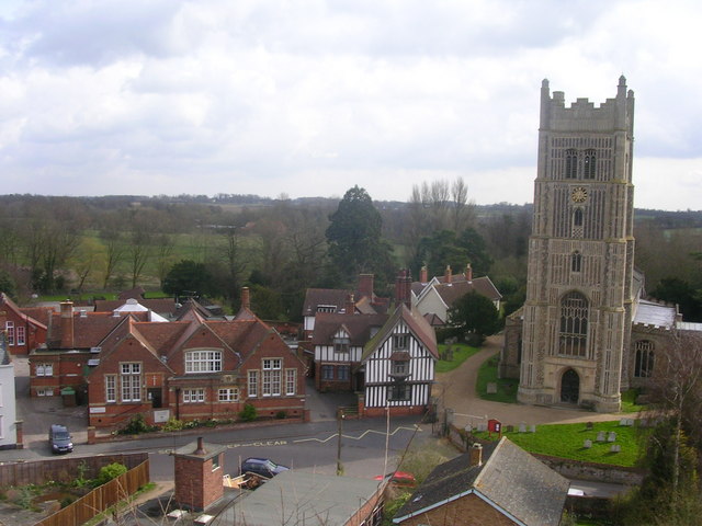


Geography and character
Mid Suffolk is characterised by rolling farmland, woodland and village settlements rather than large urban centres. Landscape features include hedgerows, church-dominated village centres and conservation areas that reflect the district's largely rural character. The district provides a transition between larger urban areas of the region and more remote countryside.
Administrative structure and history
The district was formed by merging earlier local authorities as part of the 1972 Local Government Act and is administered by a district council responsible for planning, housing, waste collection and local services. The area is divided into many civil parishes—122 in total—each with its own parish council or meeting for local matters. For further information about parish arrangements see the district's parish listings here.
Towns, transport and economy
Mid Suffolk's economy blends agriculture, small businesses, light industry and local services. Several market towns act as service centres for surrounding villages. Notable towns include Stowmarket and Needham Market, along with smaller market centres and suburban villages; a fuller list of towns is available here. The district is served by regional road and rail links that support commuting and trade, with railway stations and nearby trunk roads connecting residents to larger urban areas.
Community and points of interest
Local life in Mid Suffolk revolves around parish churches, village halls, community groups and seasonal agricultural shows. The district contains numerous listed buildings, conservation areas and public footpaths popular with walkers and cyclists. Local planning seeks to balance development needs with protection of rural character and heritage.
Notable facts
- Predominantly rural district with a network of small towns and 122 parishes.
- Created in 1974 during a nationwide reorganisation of local government.
- Population around 97,100 at the 2011 census.
Related articles
Author
AlegsaOnline.com Mid Suffolk District Leandro Alegsa
URL: https://en.alegsaonline.com/art/64651