Macoupin County, Illinois
A mostly rural county in southwestern Illinois with county seat Carlinville, population 47,765 (2010). Named for a local creek, it has agricultural roots, historic mining, and is part of the St. Louis metro area.
Overview
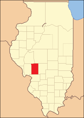
Macoupin County is a county in the U.S. state Illinois. According to the 2010 census, the county had 47,765 residents. The county seat is Carlinville, which functions as the administrative and commercial center for the region. Macoupin County is considered part of the St. Louis Metropolitan Area, reflecting economic and commuting ties to the larger urban region.
Image gallery
4 Images


Name and geography
The county takes its name from local waterways; early settlers adopted the name of Macoupin Creek, itself derived from an Indigenous word referring to an edible tuber once common in the wetlands. The landscape is typical of central Illinois: gently rolling farmland, river valleys and small woodlands that support row crops and pasture.
History and development
Prior to Euro-American settlement the area was used by Native American peoples. European-American settlement expanded in the early 19th century; agriculture quickly became the dominant economic activity. In later decades coal mining and related industries appeared, leaving a legacy of small towns created around mines and rail lines. Over time many communities adapted as mining contracted and farming and light manufacturing continued.
Economy, communities and transportation
The county remains largely agricultural, with corn and soybeans among the principal crops and a mix of livestock operations. Smaller towns provide local services, schools and manufacturing. Notable communities besides the county seat include Gillespie, Staunton, Girard and Mt. Olive, which serve as local commercial and cultural centers. Transportation links to the St. Louis region support commuting and trade.
Government and notable facts
- The county government is centered in Carlinville and administers courts, public safety and local services.
- Historic downtowns and courthouses reflect 19th- and early-20th-century growth.
- Its inclusion in the St. Louis Metropolitan Area highlights regional connections while the county retains a rural character.
For more local information and current statistics, consult county records and regional planning resources linked through official portals and historical societies.
Related articles
Author
AlegsaOnline.com Macoupin County, Illinois Leandro Alegsa
URL: https://en.alegsaonline.com/art/60382