
Lake Toba — Volcanic caldera lake in northern Sumatra
Lake Toba is a large caldera lake in northern Sumatra, Indonesia. Formed by a major volcanic eruption, it is the largest volcanic lake in the world and an important cultural, ecological, and tourist region.
Overview
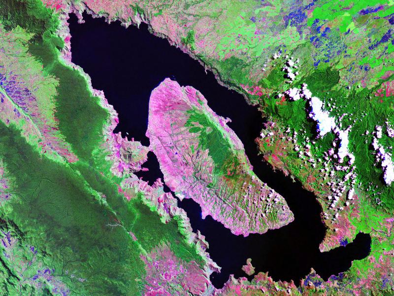
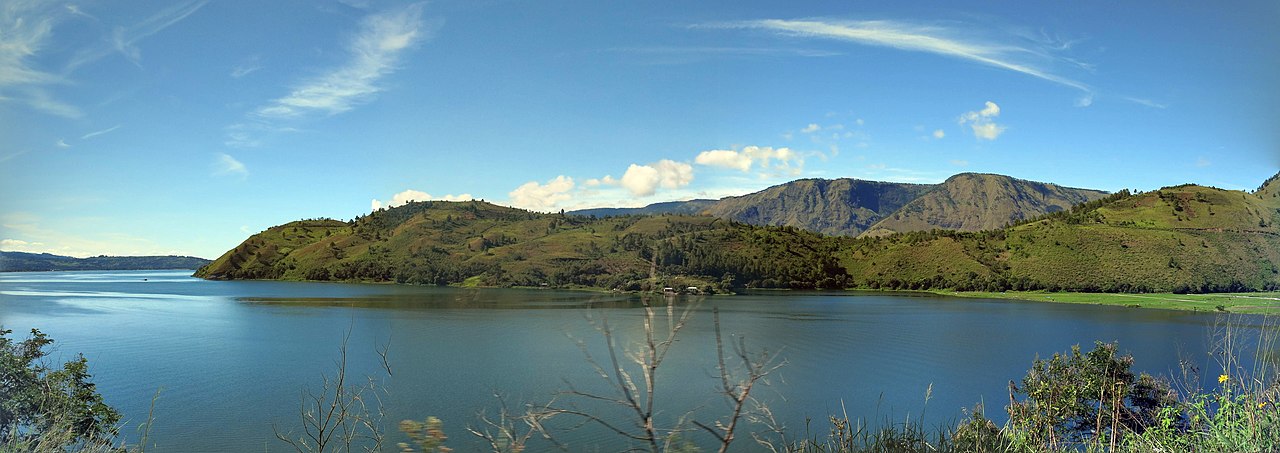
Lake Toba occupies a vast volcanic caldera in the highlands of northern Sumatra. At roughly 100 km long and 30 km wide, it is the largest lake in Indonesia and the largest volcanic lake on Earth. The lake reaches depths around 505 m and lies at an elevation near 900 m above sea level, giving it cool, often misty conditions compared with the lowland tropics.
Image gallery
10 Images


Geology and formation
The basin of Lake Toba is the collapsed center of a massive volcanic system. A cataclysmic eruption about 74,000 years ago emptied a large magma chamber and produced a caldera that later filled with water. The source volcanic complex is classified as a supervolcano because of the eruption's scale and the large volume of material erupted. Within the lake lies Samosir, a large island that formed from resurgent uplift and is often described as an island within a lake within an island.
Effects and scientific interest
That eruption is of great interest to volcanologists and paleoclimatologists because it likely injected vast amounts of ash and sulfur into the atmosphere, with probable short-term climate cooling. Some researchers have explored whether such an event influenced human populations globally; this remains an active area of study and debate rather than settled fact. Modern monitoring of the Toba system focuses on seismic activity, gas emissions and geothermal features to assess future hazards.
People, culture and tourism
Lake Toba sits in the Indonesian province and cultural region of Indonesia where Batak communities have lived for centuries. The lake and the large Samosir island host traditional villages, wooden houses with carved gables, and local cultural performances. The area is a popular destination for domestic and international travelers, offering scenic views, boat travel between lakeside towns and warm springs, and local handicrafts.
Ecology, uses and conservation
The lake supports fisheries and provides freshwater resources for surrounding communities. Its highland setting sustains a mix of tropical and montane species, though deforestation, agricultural runoff and expanding settlements pose conservation challenges. Local and regional efforts aim to balance tourism, cultural preservation and habitat protection while maintaining water quality.
Quick facts
- Approximate dimensions: 100 km by 30 km.
- Maximum depth: about 505 m.
- Elevation: roughly 900 m above sea level.
- Contains Samosir island; formed in a volcanic caldera.
For further geological summaries and travel information consult reputable resources and regional studies (island features, lake overview, caldera dynamics, supervolcano research, Indonesian context, Sumatra geography).
Related articles
Author
AlegsaOnline.com Lake Toba — Volcanic caldera lake in northern Sumatra Leandro Alegsa
URL: https://en.alegsaonline.com/art/55571
Sources
- worldlakes.org : Worldlakes.org