
Aragatsotn Province, Armenia
Aragatsotn is a western Armenian marz centered on Ashtarak, dominated by Mount Aragats. It combines highland plateaus, agricultural plains, medieval monuments and a frontier border with Turkey.
Aragatsotn is a province (marz) in the west of Armenia whose administrative centre is the town of Ashtarak. The province takes its name from Mount Aragats; Aragatsotn is commonly rendered as "the foot of Aragats." Its western flank reaches the international boundary with Turkey, and the region links high volcanic peaks to broad upland plains.
Geographically, Aragatsotn includes the slopes of Mount Aragats, the highest mountain in Armenia, as well as undulating steppe and agricultural valleys. The climate is continental highland: cold, snowy winters and warm, dry summers, with local variations between high elevations and lower plains. Rivers and seasonal streams drain the massif and have historically supported irrigation and settlement.
Archaeological and historical traces in the province span many eras. In antiquity the area belonged to the central Armenian province of Ayrarat and during the period of the Arsacid Dynasty it was governed by noble houses such as the Amatuni, with seats like Oshakan. The region remained important through the medieval Kingdom of Armenia, producing notable monasteries, fortress sites and a continuing rural culture.
Administratively Aragatsotn is divided into a mix of urban and rural communities: it contains three urban municipalities and numerous rural settlements that depend largely on agriculture, animal husbandry and local industry. Tourism focused on outdoor recreation and historic monuments has become an increasingly visible part of the local economy.
Image gallery
10 Images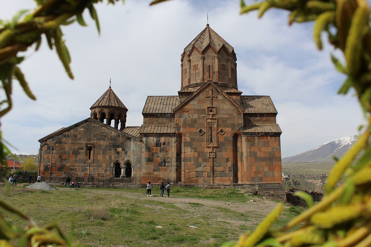


Notable sites
- Amberd — a medieval fortress and caravanserai on Aragats' slopes, offering insight into defensive architecture and mountain settlements.
- Oshakan — an ancient settlement known for its historic churches and as the burial place of Mesrop Mashtots; it reflects the region's literary and religious heritage.
- Saghmosavank and Hovhannavank — monasteries set above river gorges, representative of Armenian medieval ecclesiastical architecture.
Visitors and scholars value Aragatsotn for the combination of natural landscapes and layered history. For administrative or travel information see the provincial overview at Aragatsotn, and for broader national context consult general resources on Armenia and the region's role in the history of the Kingdom of Armenia. Further reading on early rulers like the Arsacid Dynasty and modern border geography with Turkey can provide additional background about the province's strategic and cultural importance.
Administration breakdown
Since an administrative reform on June 9, 2017, Aragazotn Province includes 72 municipalities of which three are urban and 69 are rural:
| Municipality | Area (km²) | Population | Incorporated settlements |
| Aparan | Aragaz (Aragazotn), Araji, Apnagjugh, Dzhrambar, Dsoragluch, Hartawan (Armenia), Jerndzhatap, Jeghipatrush, Kajk (Armenia), Kuchak, Lusagjugh (Aragazotn), Nigavan, Saralaj (Aragatsotn), Shenavan (Aragatsotn), Shoghakn, Chknagh, Tychur (Aragatsotn), Vardenis (Aragatsotn), Vardenut, Zaghkashen (Aragatsotn). | ||
| 42 | 20,636 | Mughni | |
| Talin | 44 | 8,374 |
Rural communities and contained settlements:
|
|
|
|
Tags
Related articles
Author
AlegsaOnline.com Aragatsotn Province, Armenia Leandro Alegsa
URL: https://en.alegsaonline.com/art/5155
Sources
- armstat.am : "RA Aragatsotn Marz"