Jilin Province — Northeast China (Manchuria)
Jilin is a northeastern Chinese province in the region historically called Manchuria. Known for cold winters, corn agriculture, forests, and heavy industry, its capital is Changchun ("long spring").
Overview
Jilin is a province in the northeast of the People's Republic of China, situated within the broader historical region often called Manchuria. It occupies a transitional zone between the plains of the northeast and the mountains and river valleys along the border with the Korean Peninsula. The provincial capital is Changchun, a city whose name means "long spring" and that grew into a major industrial and administrative center in the 20th century.
Image gallery
6 Images


Geography and climate
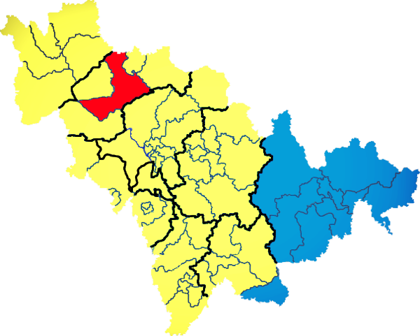
Jilin lies in the far northeast of China, bordered to the north by Heilongjiang, to the west by the Inner Mongolia autonomous region, and to the southwest by Liaoning. On its southeastern edge it meets the Democratic People’s Republic of Korea. The province includes broad agricultural plains in the west and central areas and higher, forested ranges such as the Changbai (or Paektu) Mountains toward the southeast. The climate is continental and monsoonal: cold, often snowy winters and warm, humid summers.
Economy and natural resources
Agriculture, forestry and industry all play important roles. The cool growing season lends itself to hardy cereal crops and oilseeds, with maize (corn) and soy commonly cultivated; rice is far less widespread because of the colder climate and shorter growing season than in southern China, which limits satisfactory rice production. The province has sizable timber resources, mineral deposits, and manufacturing centers—Changchun is noted for its automobile and machinery industries.
History and culture
Jilin’s human and political history reflects broader Manchurian patterns: indigenous Tungusic peoples, frontier settlement in the Qing dynasty, and intensive development during the 20th century under both Japanese occupation and later the People’s Republic of China. Ethnically diverse communities, regional dialects of Mandarin, and traditional festivals linked to harvest and winter seasons all contribute to local cultural life.
Notable places and uses
- Changchun: provincial capital and industrial hub (Changchun).
- Changbai Mountains area: scenic and ecological importance.
- Songhua River basin: agricultural heartland and transport corridor.
Distinctive facts
Jilin is often associated with long, cold winters that shape settlement, agriculture and transport. Its border position has shaped cross-border trade, environmental issues in shared river systems, and tourism focused on winter landscapes and mountain scenery. The province serves as a transitional zone linking the agricultural plains of northeastern China with mountain ecosystems and the Korean Peninsula.
For regional context and administrative details see provincial profiles and maps via external resources: regional overview, historical background at Manchuria, and neighboring provincial information: Heilongjiang, Inner Mongolia, Liaoning. Cross-border relations with North Korea and agricultural studies on cereal and rice cultivation are further avenues for study.
Questions and answers
Q: Where is Jilin located in China?
A: Jilin is located in the far northeastern part of China, also known as Manchuria.
Q: What are the provinces that border Jilin?
A: Jilin is bordered on the north by Heilongjiang province, to the west by the "Inner Mongolia Autonomous Region", and to the southwest by Liaoning province. To the southeast lies North Korea.
Q: What is the capital city of Jilin?
A: The capital city of Jilin is Changchun, meaning "long spring".
Q: What is the terrain in Jilin like?
A: The terrain in Jilin is much like that of neighboring Heilongjiang province.
Q: What is the climate like in Jilin?
A: The climate in Jilin is much like that of neighboring Heilongjiang province.
Q: What is one of the main agricultural products in Jilin?
A: One of the main agricultural products in Jilin is corn, as the climate is too cold (and dry) for satisfactory rice cultivation.
Q: Is Jilin part of Manchuria?
A: Yes, Jilin is part of Manchuria.
Related articles
Author
AlegsaOnline.com Jilin Province — Northeast China (Manchuria) Leandro Alegsa
URL: https://en.alegsaonline.com/art/50182