Interstate H-1 — Oʻahu’s primary east–west freeway
Interstate H-1 (H-1) is Oʻahu’s main freeway, about 27.2 miles long, linking Kapolei and Kāhala through Honolulu. It is the busiest interstate in Hawaii and is locally known as the Queen Liliʻuokalani and Lunalilo Freeways.
Overview
Interstate H-1 (commonly referred to as H-1) is the principal limited‑access highway running roughly east–west across the island of Oʻahu in the U.S. state of Hawaii. Stretching from the Kapolei area on the island's leeward side to the Kāhala neighborhood on the southeastern shore, H-1 serves as the main commuter and freight corridor for greater Honolulu and adjacent communities. At about 27.16 miles in length, it is the longest and busiest Interstate route in the state and is notable for being the westernmost Interstate Highway in the United States.
Image gallery
3 Images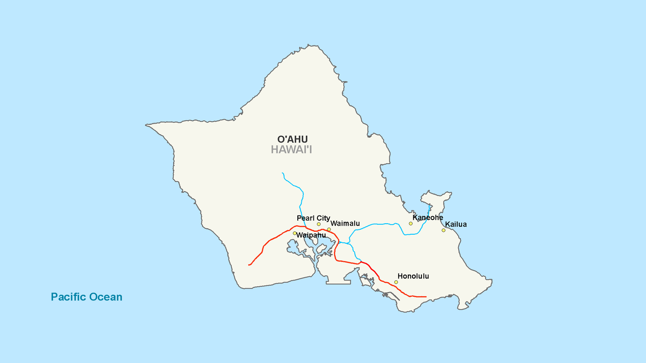


Route and characteristics
H-1 links Farrington Highway (Route 93) near Kapolei at its western terminus with Kalanianaole Highway (Route 72) in Kāhala at its eastern end. The freeway passes through or near major population and activity centers, including Kapolei, Pearl City, central Honolulu and neighborhoods close to Waikīkī. The alignment includes at‑grade sections, elevated viaducts through dense urban areas, and multiple interchanges that provide access to local roads, industrial areas and military facilities.
Names and numbering
Locally, H-1 is signed by two historic names. West of Middle Street in Honolulu it is often identified as the Queen Liliʻuokalani Freeway, while east of Middle Street it is commonly called the Lunalilo Freeway. The highway’s designation as H-1 follows Hawaii’s H‑series Interstate numbering, which differs from the contiguous U.S. grid: route numbers in Hawaii were assigned as projects were funded and built, not strictly by compass orientation.
Connections and interchanges
H-1 intersects other major island freeways and regional routes that distribute traffic across Oʻahu. Notable connections include interchanges with H-2, which provides a northbound link toward central Oʻahu and Wahiawā, and H-3, which crosses to the Windward side through a separate mountain route. The freeway also provides access to Honolulu’s main airport area and to port and military facilities that rely on H-1 for east–west movements. Larger interchanges on H-1 are designed to handle heavy commuter flows and the mix of local and through traffic typical of an urban freeway.
Traffic, design and operations
As the island’s primary commuter route, H-1 carries heavy daily traffic, with peak directional flows in the mornings and evenings. The highway typically has multiple lanes in each direction, with added capacity near major interchanges and commercial centers. Both elevated and at‑grade segments reflect responses to topography and urban density. Operational oversight, routine maintenance and major projects are managed by the Hawaii Department of Transportation, which monitors conditions, schedules repairs and plans improvements.
History and development
The freeway was planned and constructed in stages during the mid‑20th century as part of broader postwar development on Oʻahu. Its construction supported suburban growth, enabled more direct access to Honolulu’s central business districts, and improved connections to military installations and port areas. Because funding and construction order determined the H‑series numbering, H-1 received its designation early in the program of island freeway development.
Importance and community impact
H-1 is central to daily life on Oʻahu, shaping commuting patterns, land use and economic links across the island. It supports residential and commercial development, freight movement to the Port of Honolulu, and access to military bases. At the same time, H-1’s presence has influenced community planning, noise and environmental considerations, and ongoing debates over congestion management and multimodal options such as public transit corridors parallel to the freeway.
Further information and resources
Readers seeking maps, project descriptions, traffic advisories or historical context can consult official and local resources. For general maps and route overviews see regional highway maps. State transportation planning and project updates are available through state transportation resources. Background on Oʻahu roads and community context can be found in local historical summaries at local history and planning pages. Municipal and county information, including traffic notices and public meetings, is published on city and county sites and portals.
- Length: Approximately 27.16 miles (about 43.7 km).
- Orientation: Functionally east–west, though H‑series numbering reflects project sequence rather than a mainland grid convention.
- Local names: Queen Liliʻuokalani Freeway (west of Middle Street) and Lunalilo Freeway (east of Middle Street).
- Role: Primary commuter and freight corridor for Oʻahu, connecting suburban communities with Honolulu and key facilities.
For project-specific history, traffic statistics and planned improvements, refer to the links above or contact local transportation authorities. The information presented here summarizes broadly known facts about H-1’s alignment, role and significance on the island of Oʻahu.
Related articles
Author
AlegsaOnline.com Interstate H-1 — Oʻahu’s primary east–west freeway Leandro Alegsa
URL: https://en.alegsaonline.com/art/47830