Interstate 96 — major east–west freeway across Michigan
Interstate 96 (I-96) is an approximately 192-mile Interstate Highway running east–west entirely in the state of Michigan, linking the Lake Michigan shore near Muskegon with the Detroit metropolitan area.
Interstate 96 (I-96) is a principal east–west limited-access highway that lies entirely within the state of Michigan. Stretching roughly 192 miles, it connects communities along the Lake Michigan shoreline to the greater United States industrial and population center around Detroit. The route serves both long-distance and local traffic and is a core corridor for passenger travel, regional commerce, and access to lakeshore destinations.
Image gallery
8 Images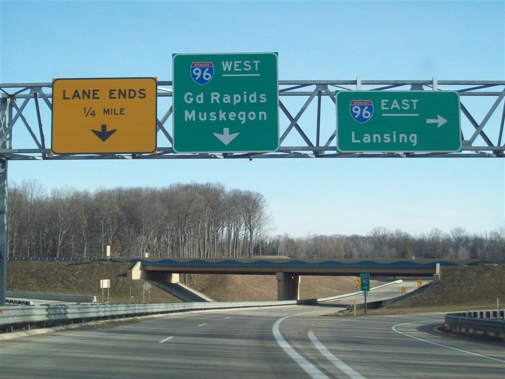


Route and characteristics
I-96 begins on the Lake Michigan side near Muskegon and runs generally eastward toward Detroit. It is built to Interstate standards throughout: divided lanes, controlled access, grade-separated interchanges, and no at-grade crossings. Along its course the freeway passes near or serves several urban centers and suburban areas, providing connections to other major highways and to local road networks.
Auxiliary routes and connections
- Auxiliary highways associated with I-96 include spurs and bypasses that link downtowns and outlying regions, such as I-196 and I-496.
- The freeway intersects and interfaces with other Interstate and US routes, allowing through traffic to continue across the state or to reach regional destinations.
History and development
Like many Interstates, I-96 was planned and built in stages during the mid-20th century as part of the national Interstate Highway System. It replaced or supplemented earlier surface highways and older numbered routes that previously carried east–west traffic across Michigan. Construction proceeded segment by segment, with urban sections often completed later due to complex engineering and property needs.
Uses and significance
I-96 plays multiple roles: it is a commuter artery for suburban and exurban residents traveling into urban job centers, a route for commercial trucking linking ports and industrial sites, and a primary corridor for tourists and residents traveling between Detroit and Lake Michigan recreation areas. Its continuous controlled-access design supports higher speeds and heavier demands compared with two-lane state highways.
Notable facts and local names
Portions of the freeway are known locally by named sections and carry designations used in traffic reports and roadway signage. Because the route lies wholly within one state, it is an example of an Interstate that does not cross state lines. Periodic upgrades, interchange reconstructions, and maintenance projects have been carried out to address congestion, safety, and pavement aging.
For overview maps, construction history, and travel planning consult state transportation resources and regional planning agencies via the linked references above.
Related articles
Author
AlegsaOnline.com Interstate 96 — major east–west freeway across Michigan Leandro Alegsa
URL: https://en.alegsaonline.com/art/47826
Sources
- mcgi.state.mi.us : "MDOT Physical Reference Finder Application"