
Interstate 5 (I-5) — West Coast’s primary north–south highway
Interstate 5 (I-5) is the principal north–south Interstate on the U.S. West Coast, running roughly 1,381 miles through California, Oregon, and Washington and linking the Mexican and Canadian borders.
Interstate 5 (commonly written I-5 and known in Southern California as “The 5”) is the principal north–south freeway on the U.S. West Coast. Stretching roughly 1,381 miles (about 2,223 km), it links the international crossings at the U.S.–Mexico frontier to the crossing into Canada, forming the backbone of road travel and freight movement along the Pacific seaboard. The route serves dense urban cores, long agricultural corridors and several key port and airport connections.
Image gallery
9 Images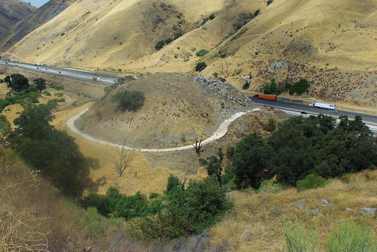


Route overview and endpoints
The highway begins at the United States–Mexico border, where it connects to Mexican Federal Highway 1 and the San Ysidro crossing, and terminates at the border with Canada where it continues as British Columbia Highway 99. I-5 traverses three U.S. states: primarily California, then Oregon, and finally Washington. Nearly sixty percent of the total mileage lies within California, reflecting the state’s long north–south extent and its role as a population and goods-movement center.
Characteristics and infrastructure
I-5 is a mix of urban freeway and rural expressway. Within large metropolitan areas it expands to many lanes, carries high volumes of commuter and freight traffic, and incorporates HOV and connector ramps. Between cities it often becomes a simpler divided highway crossing agricultural valleys and passes. The highway links major ports, intermodal terminals and international gateways, making it a vital freight corridor as well as a primary route for long-distance passenger travel.
Major cities and connections
- Southern California: San Diego and the Greater Los Angeles region, where the road is a heavily used urban freeway.
- Central California: passage through the agricultural and industrial Central Valley and connections to inland areas including the state capital region.
- Pacific Northwest: major urban centers such as Portland and Seattle, with connections to regional and international commerce.
Along its length I-5 intersects with many other principal routes and provides the most direct road link between several metropolitan areas. It is often used by long-haul truck traffic traveling between Mexican and Canadian border points and by travelers moving between coastal and inland destinations.
History, development and role
The corridor that became I-5 was built in stages during the mid-20th century as part of the Interstate Highway System. Construction and upgrades continued for decades, adapting to growing traffic, urban expansion and changing freight patterns. Today I-5 remains essential to the economies of the three states it serves, supporting commuting, tourism, agriculture and international trade across the continent. The highway’s cross-border links are part of broader trade routes and transportation networks that connect to U.S.–Mexico and Canadian border systems.
Notable features include heavy congestion in major metropolitan segments, recurring modernization projects, and occasional seasonal or weather-related impacts in rural stretches. For travelers and freight operators, I-5 is both a critical transportation resource and a focus of planning efforts to improve safety, capacity and environmental performance.
Related articles
Author
AlegsaOnline.com Interstate 5 (I-5) — West Coast’s primary north–south highway Leandro Alegsa
URL: https://en.alegsaonline.com/art/47782
Sources
- fhwa.dot.gov : "Table 1: Main Routes of the Dwight D. Eisenhower National System Of Interstate and Defense Highways as of December 31, 2013"
- fhwa.dot.gov : "Route Log and Finder List, Main Routes of the Dwight D. Eisenhower National System Of Interstate and Defense Highways"
- dot.ca.gov : State Truck Route List
- oregon.gov : "Public Road Inventory"
- wsdot.wa.gov : "State Highway Log"