Interstate 68 (I-68) — Morgantown, WV to Hancock, MD
Interstate 68 (I-68) is a 112.9-mile east–west Interstate in the United States connecting Morgantown, West Virginia, with Hancock, Maryland, traversing the Appalachian highlands and linking I‑79 with I‑70.
Overview
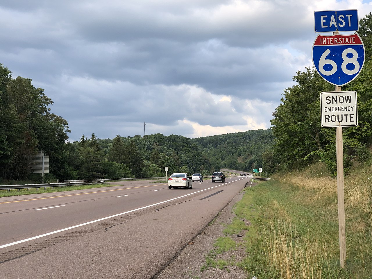
Interstate 68 (I-68) is an east–west part of the Interstate Highway System in the United States that extends 112.9 miles (181.7 km) from Morgantown, West Virginia eastward to Hancock, Maryland. The route was created to provide a high-capacity, limited-access corridor across the Appalachian Plateau, improving connections between northern West Virginia and western Maryland.
Image gallery
10 Images


Route and characteristics
I-68 runs through predominantly rural and mountainous country, linking a handful of small cities and towns along its corridor. It connects with major north–south and east–west arteries at its termini and serves as a primary through route for travelers crossing the central Appalachians. Typical features include two travel lanes in each direction, interchanges for regional access, and stretches of steep grades and cuttings where the highway crosses ridgelines.
Major connections
- Western terminus near Morgantown, providing links to regional routes and the Interstate network.
- Eastern terminus at Hancock, where the corridor meets other principal east–west routes.
- Parallels and supplements historic cross-mountain routes, offering faster, controlled-access travel.
History and development
The roadway that became I-68 evolved from earlier federal and state highways that followed east–west travel lanes across the mountains. Over the mid-to-late 20th century, sections were upgraded, realigned and built to interstate standards to improve safety and capacity. Completion of continuous controlled-access segments allowed the corridor to be designated as an Interstate, formalizing its role in long-distance and regional travel.
Uses and importance
I-68 serves a mix of traffic: local commuters and commercial vehicles serving regional industry, as well as recreational travelers accessing outdoor destinations in the Appalachians. It shortens travel times compared with older surface routes and supports economic activity in the corridor by improving freight movement and access to markets.
Notable features and traveler information
The route displays several engineering and scenic features typical of Appalachian highways, including prominent road cuts through ridges and higher-elevation sections that can be affected by winter weather. Communities along I-68 offer services and historic attractions, and the highway is often used as a quicker, limited-access alternative to older U.S. routes through the same region. For general reference about the Interstate and local points of interest, see federal and state transportation resources and regional travel guides.
Related articles
Author
AlegsaOnline.com Interstate 68 (I-68) — Morgantown, WV to Hancock, MD Leandro Alegsa
URL: https://en.alegsaonline.com/art/47789
Sources
- wvdot.com : "I-68 Extension Now Eligible for Federal Funding"
- sha.maryland.gov : "Highway Location Reference: Garrett County"
- sha.maryland.gov : "Highway Location Reference: Allegany County"
- sha.maryland.gov : "Highway Location Reference: Washington County"