Interstate 10 (I-10) — major transcontinental east–west highway
Interstate 10 (I-10) is a principal east–west U.S. Interstate running coast to coast from Santa Monica, California, to Jacksonville, Florida, serving eight states and major southern cities.
Overview
Interstate 10 (I-10) is one of the United States' primary east–west Interstate Highways. It links the Pacific coast in Southern California with the Atlantic coast in Florida, providing a continuous highway across the southern tier of the continental U.S. The route supports long-distance travel, regional commuting, and a high volume of commercial freight.
Image gallery
9 Images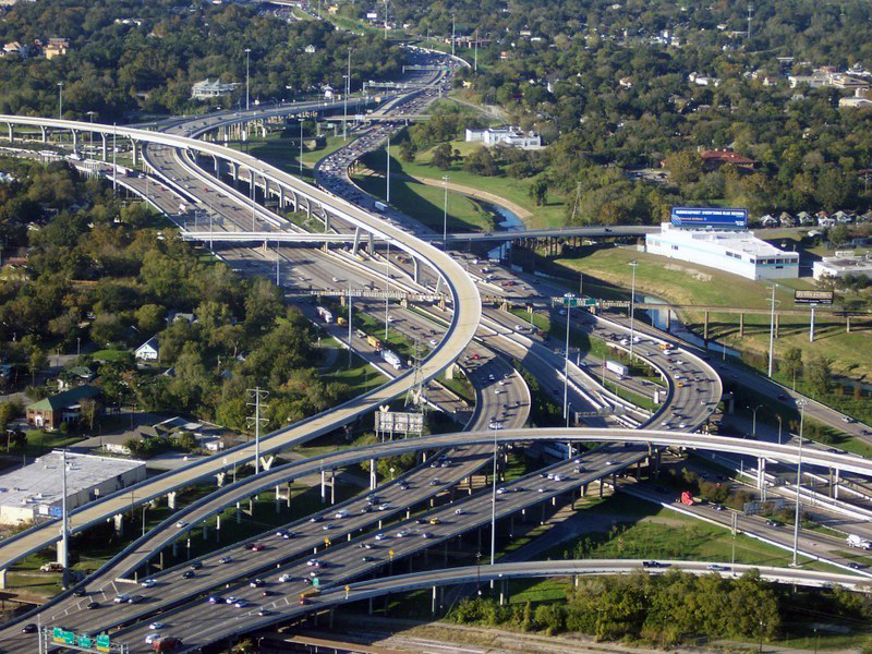


Route and major points
The western terminus is at Santa Monica, California, near the Los Angeles area, and the eastern end is at Jacksonville, Florida. I-10 traverses eight states and passes near or through many major urban centers.
- States crossed: California, Arizona, New Mexico, Texas, Louisiana, Mississippi, Alabama, Florida.
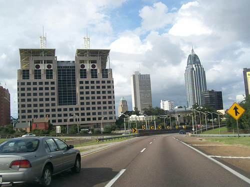
- Notable cities along the corridor include Los Angeles area suburbs, Phoenix and Tucson, El Paso, San Antonio, Houston, New Orleans, Mobile, Pensacola, Tallahassee, and Jacksonville.
Characteristics
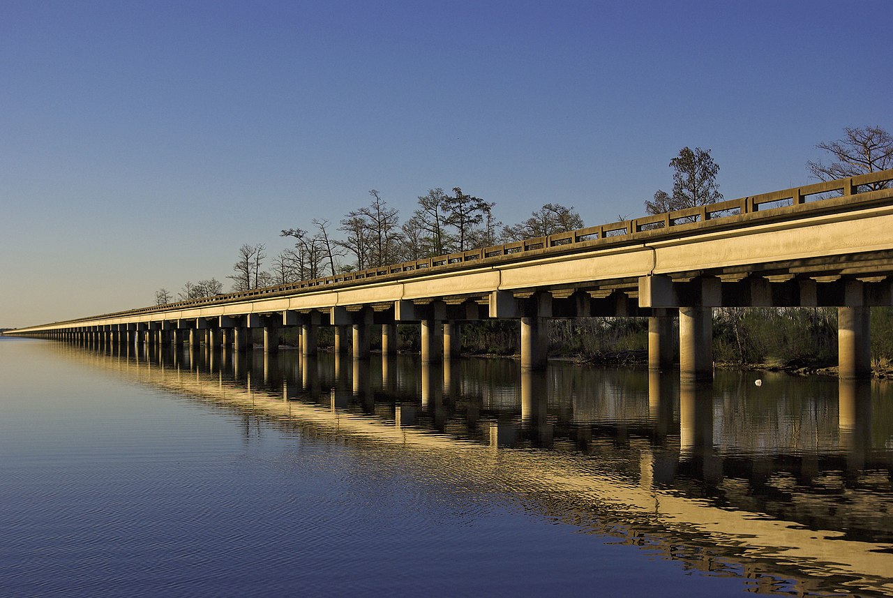
The highway runs for roughly 2,460 miles, making it one of the longest Interstate Highways in the nation. It crosses a wide variety of landscapes, from coastal plains and wetlands to deserts and mountain passes. Speed limits vary by state and by segment; for example, some rural stretches in Texas are posted at 80 mi per hour (about 128.7 km per hour), while urban segments have lower limits and additional traffic control measures.
History and development
I-10 was planned and constructed as part of the Interstate Highway System created by federal legislation in the mid‑20th century. Its construction proceeded in stages over several decades, with individual segments opened as they were completed. Like many Interstates, I-10 often follows or replaces older U.S. highways and local roads, and its alignment was adjusted over time to meet evolving engineering and urban planning needs.
Uses and significance
I-10 is a vital corridor for passenger travel, tourism, and commercial trucking across the southern United States. It connects multiple ports, airports, military installations, and industrial regions, serving as a backbone for regional economies. During major weather events and disasters, the route is frequently used for evacuations and relief shipments.
Notable facts and distinctions
As a transcontinental route lying far to the south, I-10 provides a generally milder winter driving corridor than more northern cross‑country Interstates. It ranks among the longest Interstates in the country and demonstrates the engineering challenge of maintaining a single continuous highway across diverse environments. Travelers should note changing traffic conditions, construction projects, and seasonal weather impacts along different segments of the route.
Related articles
Author
AlegsaOnline.com Interstate 10 (I-10) — major transcontinental east–west highway Leandro Alegsa
URL: https://en.alegsaonline.com/art/47753