Gwadar District (Balochistan, Pakistan)
Gwadar District is a coastal district in southwestern Pakistan, noted for its strategic port, long shoreline, and administrative role within Makran. It includes Gwadar, Pasni, Jiwani and Ormara subdivisions.
Overview
Gwadar District lies on the Arabian Sea in the southwestern province of Balochistan, Pakistan. Notified as a separate district on July 1, 1977, it serves as the administrative area centered on the port city of Gwadar. The district combines a strategic coastal position with largely arid inland tracts; its economy has traditionally relied on fishing, small-scale trade and maritime services, while recent investments in port infrastructure have increased its national and regional significance.
Image gallery
1 Image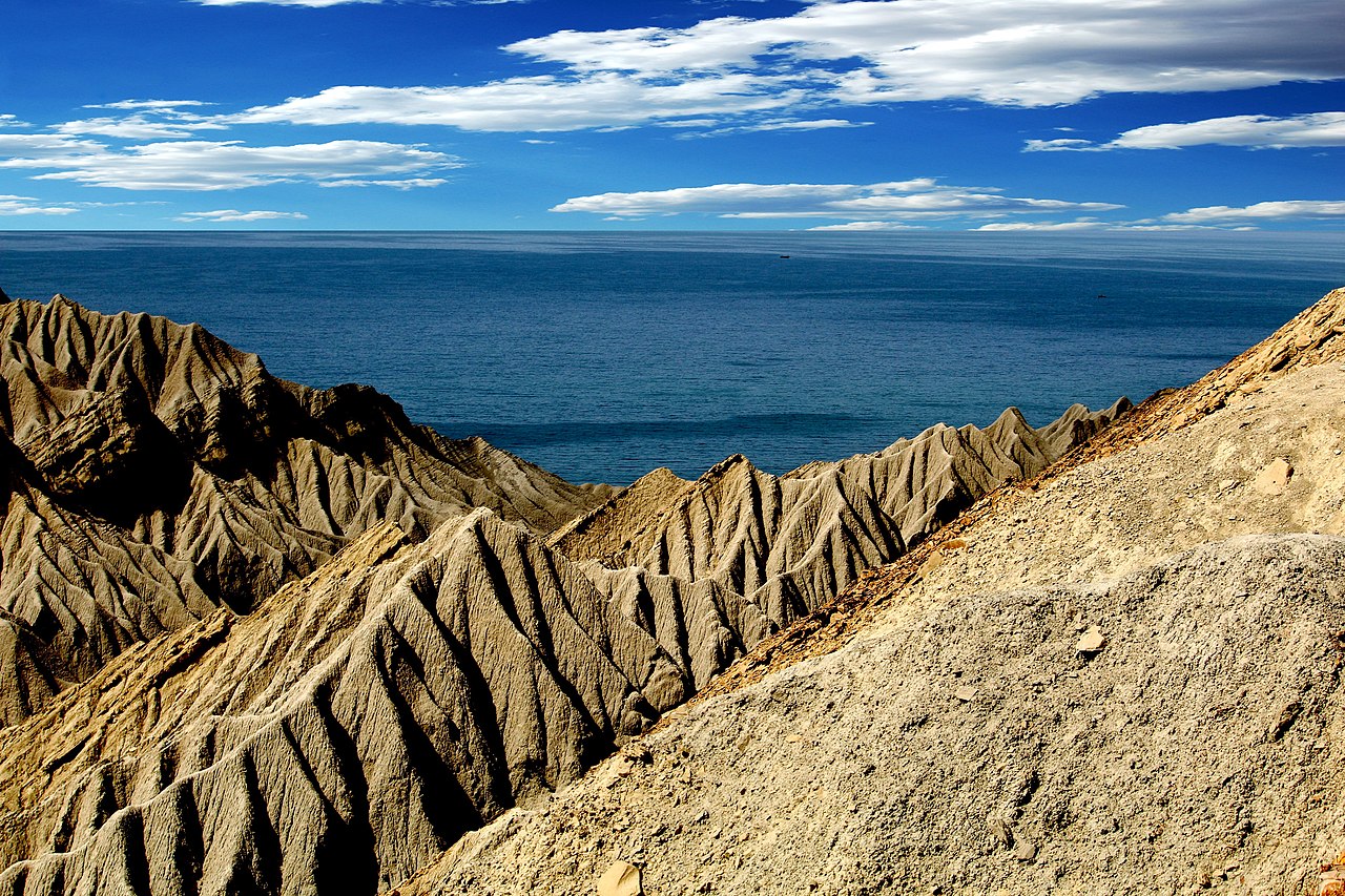
Geography and environment
Gwadar District has an extensive shoreline that runs along the Arabian Sea; the coastal zone and adjacent landscapes include rocky headlands, sandy beaches and dry riverbeds. Inland, the Kulanch and Dasht valleys form un-irrigated tracts that support sparse agriculture and pastoralism. The climate is generally arid to semi-arid with hot summers and mild winters, and rainfall is limited and seasonal. These physical conditions shape settlement patterns, transportation routes and natural-resource use across the district.
Administrative divisions
For governance, Gwadar District is organized into two main sub-divisions and further divided into tehsils and sub-tehsils. The current administrative structure reflects changes made when Makran Division was created:
- Gwadar sub-division: contains the tehsils of Gwadar and Jiwani, plus the sub-tehsil of Suntsar.
- Pasni sub-division: comprises the tehsils of Pasni and Ormara.
Before the 1977 reorganization Gwadar was one of three tehsils within Makran District; it was elevated to district status at the time Makran Division was formed. Further administrative and development records can be consulted through official notices and provincial documents on the notification and the division framework for Makran Division.
History and development
Gwadar and the greater Makran region have a long coastal history shaped by seafaring, trade and local tribal governance. The district's modern administrative identity dates from the 1977 division of Makran. In recent decades Gwadar attracted attention because of port expansion projects and their inclusion in broader regional initiatives, leading to increased investment and new transportation links. Historical and cultural ties to the rest of Makran remain important for local identity and land use patterns; see general discussions of Makran history and geography and the administrative role of tehsils in district governance.
Economy, importance and challenges
The coastal location makes fishing a cornerstone of local livelihoods, while the development of Gwadar Port has added employment and commercial opportunities related to shipping, logistics and construction. The district's arid interior limits large-scale agriculture, creating challenges for water supply, infrastructure and sustainable development. Strategic importance combined with local socioeconomic needs has made Gwadar a focal point for public and private initiatives aimed at improving transport, education and health services.
Distinctive facts
Gwadar District is notable for its long coastline (about 600 kilometres reported in regional descriptions), a mix of small port towns and rural valleys, and its recent prominence in regional maritime planning. Its administrative structure and historical ties to Makran shape both governance and community life. Ongoing projects and environmental constraints ensure that Gwadar remains a district of both opportunity and complex planning requirements.
Related articles
Author
AlegsaOnline.com Gwadar District (Balochistan, Pakistan) Leandro Alegsa
URL: https://en.alegsaonline.com/art/41577