
Grid plan (urban street layout)
A grid plan is a street layout in which roads meet at right angles to form regular blocks. Used since antiquity, it shapes navigation, land division, and urban growth across cultures.
Overview
A grid plan, sometimes called an orthogonal or rectilinear plan, is an arrangement of streets that intersect at right angles to create a pattern of regular blocks. This simple, geometric layout makes movement, parceling, and addressing straightforward and remains a foundational pattern in urban planning. The grid can vary from very coarse to fine grain, depending on block dimensions and the density of streets.
Image gallery
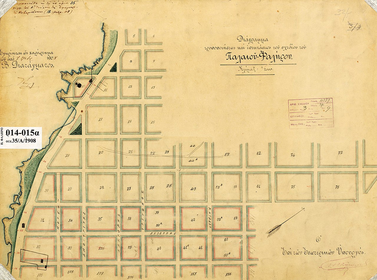
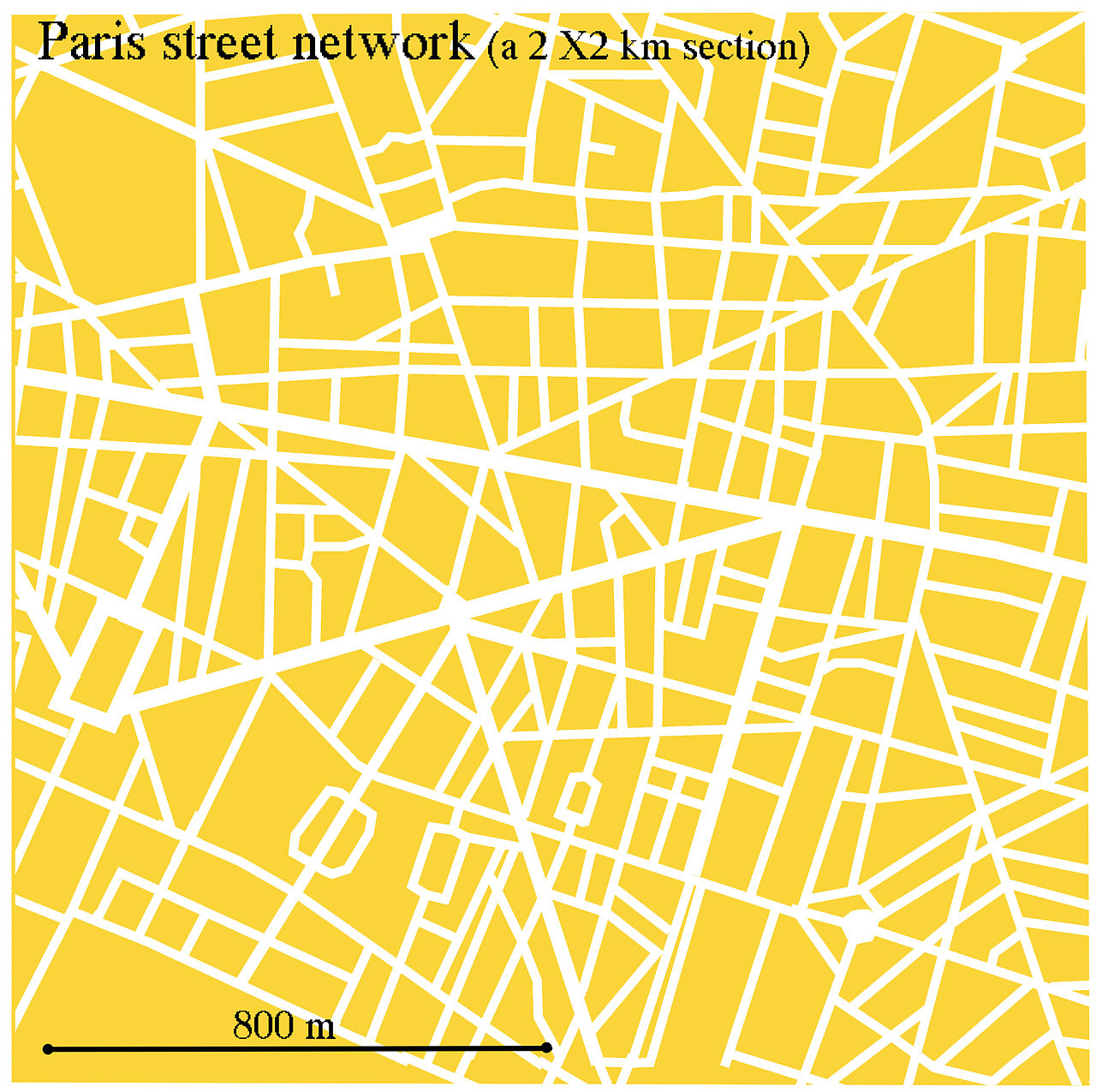
10 Images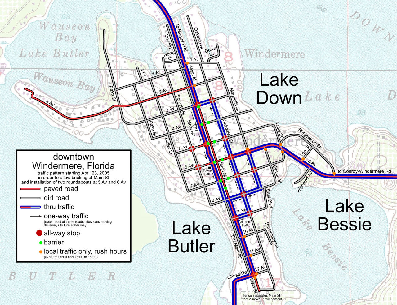




Key characteristics
- Perpendicular streets forming rectangular or square blocks.
- Regular lot subdivision that simplifies land ownership and sale.
- Predictable navigation and address systems that aid orientation.
- Flexibility: grids can be superimposed, rotated, or modified to fit topography.
History and development
Grid-like layouts appear in many early civilizations. Planned towns of the Indus Valley and some Bronze Age settlements show orthogonal streets, while classical cultures systematized the form. Ancient Greek planners promoted rational street patterns, and notable examples of formalized grid use come from ancient Greece and later Roman practice. In Roman contexts, the systematic division of land for distribution and taxation employed a centuriation method related to the grid; this method of land measurement supported agricultural planning and settlement. The grid also became central to many colonial and modern cities as a tool for rapid, orderly expansion.
Uses and notable examples
Grids are common in city design, from the planned streets of many American cities to colonial towns governed by ordinances such as the Law of the Indies. Practical uses include easier parceling for real estate, simpler street addressing, and straightforward routing for public transit. Examples include classical grid towns and later adaptations in urban expansion; the approach is one of several city-planning models, alongside radial, organic, and hierarchical patterns.
Variants, benefits and criticisms
Variants include rotated grids, tessellated blocks, and the use of large "superblocks" that combine many small blocks into a single urban cell. Benefits of the grid are clarity, modular growth, and adaptability. Critics point to monotony, inefficient use of sloping terrain, and potential traffic congestion on long straight avenues. Modern planners often blend grid principles with other strategies—introducing parks, diagonal boulevards, or traffic-calming measures—to balance order with livability. For more background see broader discussions of city planning and historical accounts from ancient Rome.
Related articles
Author
AlegsaOnline.com Grid plan (urban street layout) Leandro Alegsa
URL: https://en.alegsaonline.com/art/40907
Sources
- corinth.sas.upenn.edu : "Colonia Iulia Flavia Augusta Corinthiensis, AD 70s (Reign of Vespasian)"