
Abercrombie River (New South Wales)
A 130 km inland river in New South Wales, Australia, joining the Lachlan at Wyangala; noted for rugged gorges, national park habitat, Wiradjuri and Gundungara heritage, and a 19th‑century gold rush.
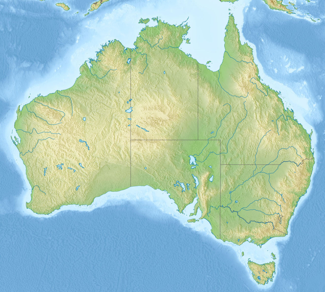
The Abercrombie River is an inland watercourse in eastern Australia that runs roughly westward from the high country near Mount Werong to the Wyangala area of central New South Wales. It is approximately 130 km in length and becomes part of the Lachlan River system when it joins Wyangala Lake. The river drains a largely rugged catchment of sandstone and shale country, carving steep gorges and forming a variety of habitats along its course. For regional context see New South Wales and the nation of Australia.
Image gallery
6 Images


Physical characteristics and course
Rising on the eastern side of the Great Dividing Range near Mount Werong, the Abercrombie flows generally west and northwest before entering the Wyangala Dam catchment and contributing to the Lachlan River network. It is one of the easternmost rivers that ultimately flows inland rather than to the coast. The streambed and valley are typified by narrow, steep-sided gorges—most notably the Abercrombie Gorge—cut through resistant rock. The Goulburn–Oberon Road crosses the river within this gorge, providing some of the few road-access vantage points.
Ecology and conservation
Large sections of the Abercrombie's upper reaches pass through protected areas, including Abercrombie River National Park, which conserves native woodlands, riparian vegetation and pockets of moist forest. The river supports native aquatic mammals and other wildlife: platypus are known from quiet pools, and the native water rat, or rakali, is also present. Fish and invertebrate communities reflect the variable flows and seasonal changes of an inland river system. Conservation focus in the area balances visitor access for bushwalking and fishing with protection of fragile riverine habitats; further information is available via park resources such as Abercrombie River National Park.
People and history
The river lies within the traditional lands of Aboriginal peoples, particularly the Wiradjuri and Gundungurra groups, who used river corridors for food, water and travel. European exploration reached the area in the early colonial period: the explorer Charles Throsby visited the region in May 1819 during expeditions inland from Sydney towards the Central West. In 1851, alluvial gold discoveries near and along the river sparked a local gold rush, drawing prospectors to difficult terrain. Mining was concentrated in tributary gullies such as Milburne Creek; at times individual prospectors took relatively high yields, but the rough topography and fluctuating river levels made systematic exploitation challenging. The historic gold rush is often cited in regional accounts such as those covering the broader gold rush era.
Uses and recreation
Today the Abercrombie River is valued for its scenic and recreational qualities. Visitors come for bushwalking, canyoning, birdwatching and angling in permitted areas. Some reaches are accessible only by four-wheel-drive tracks or on foot, preserving a sense of remoteness. Water from the river contributes to the wider Lachlan basin, which supports agriculture and towns downstream; as a tributary its flows influence storage levels in the Wyangala system and therefore regional water management in the Lachlan catchment (Lachlan River and associated resources).
Notable facts and distinctions
- The Abercrombie is noted for its steep, scenic gorges formed by long-term river incision.
- The catchment supports emblematic Australian fauna such as the platypus and the rakali.
- Its valley has strong cultural significance to Aboriginal communities and contains historic sites linked to early exploration and gold prospecting.
- Hydrologically it is one of the easternmost rivers in New South Wales that flows inland to join the Lachlan rather than reaching the coast.
For further reading on regional geography and management, local government and park authorities provide maps and guidance; where indicated, see regional pages such as tributary information and general catchment resources like wildlife listings or community heritage summaries about the state. Additional historical material and detailed hydrological data are available through state archives and local historical societies.
Related articles
Author
AlegsaOnline.com Abercrombie River (New South Wales) Leandro Alegsa
URL: https://en.alegsaonline.com/art/407
Sources
- gnb.nsw.gov.au : "Geographical Names Register: Abercrombie River"
- environment.nsw.gov.au : "Abercrombie River National Park"
- environment.nsw.gov.au : "Abercrombie River National Park: Culture and History"
- ndpbeta.nla.gov.au : "The Wentworth Diggings"
- ndpbeta.nla.gov.au : "The Gold Fields"
- ndpbeta.nla.gov.au : "New South Wales: The Lachlan"
- tools.wmflabs.org : 34°01′S 149°28′E / 34.017°S 149.467°E / -34.017; 149.467