Grand Forks County, North Dakota
County in northeastern North Dakota centered on the city of Grand Forks; regional hub for education, agriculture and aviation with a history tied to the Red River Valley and the University of North Dakota.
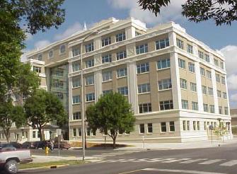
Grand Forks County lies in the eastern part of the state of North Dakota. It is anchored by the city of Grand Forks, which serves as the administrative center. According to the 2010 census, the county had 66,861 residents, concentrated mostly in the city and nearby towns.
Image gallery
2 Images
Geography and environment
The county occupies part of the fertile Red River Valley, a broad agricultural plain drained by the north‑flowing Red River of the North. Soils and flat terrain make the area productive for crops, while the river has shaped settlement and transport. Major highways and regional rail lines link the county to other plains and prairie communities.
History and development
Settlement and local government organization came with westward expansion in the late 19th century. The city of Grand Forks grew as a river and rail center, later becoming an educational and military focal point. Flooding of the Red River has been a recurring influence on planning and development; the large flood of the late 20th century prompted major mitigation and rebuilding efforts.
Economy, institutions and transport
Grand Forks County's economy blends agriculture with services, education and defense. The University of North Dakota and regional hospitals are important employers, as is the nearby Air Force facility and associated industries. The county is served by interstate highways, regional airports, and freight rail, supporting both local commerce and broader links across the Upper Midwest.
Communities and governance
The county government and municipal authorities manage services for an urban center and several smaller towns and townships. The county seat hosts administrative offices, courts and public records. Local planning balances urban growth, farmland preservation and river‑front flood protection.
Notable facts
- Home to a major public research university and cultural institutions.
- Located in a key agricultural region of the Red River Valley.
- Has experienced significant river flooding that shaped modern infrastructure and emergency planning.
For maps, demographic updates, and service details consult county and state resources or regional planning agencies; local institutions also publish current information on education, transportation and economic development.
Related articles
Author
AlegsaOnline.com Grand Forks County, North Dakota Leandro Alegsa
URL: https://en.alegsaonline.com/art/40195