Garajonay National Park
A protected national park on La Gomera (Canary Islands) celebrated for its laurel forests, persistent cloud cover, rich plant diversity, and UNESCO World Heritage status.
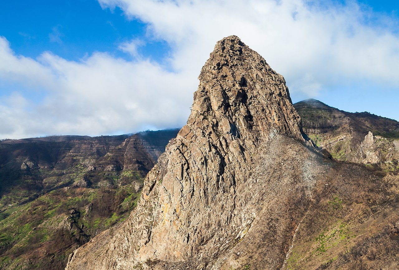
Garajonay National Park (Spanish: Parque nacional de Garajonay) is a nationally protected area of Spain located on the island of La Gomera. The park covers a central highland massif and reaches into northern slopes, where altitude and climate combine to create an unusually lush environment for the Canary Islands. Its name derives from the island's highest summit, Alto de Garajonay, a focal point for visitors and naturalists alike.
Image gallery
10 Images


Location and landscape
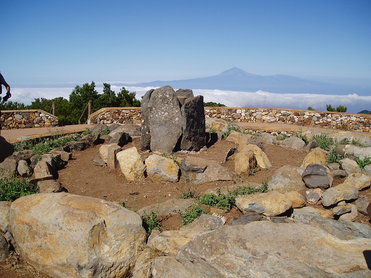
La Gomera lies within the Canary Islands archipelago off the northwest coast of Africa near Morocco. Garajonay occupies roughly 40 km² and extends into the territories of all six municipalities on the island. The park's terrain is mountainous and deeply incised, with steep ravines and sheltered valleys that capture humid trade winds. Portions of the terrain are described as central highland and northern-facing woodland, reflecting the varied microclimates across the site (central, north).
Vegetation and biodiversity
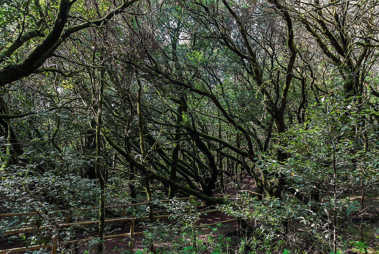
Garajonay is best known for its extensive laurisilva, a type of humid subtropical laurel forest that was far more widespread in the Mediterranean region during the Tertiary. Persistent low cloud and mist, a local phenomenon often called garúa or sea fog, sustain a cool, humid environment that preserves relict plant communities (cloud cover and mist). That climate supports a rich flora with many endemic and relict species; the park protects over 150 plant species and numerous invertebrates and birds adapted to this humid woodland.
History and protection
Recognizing its ecological importance, Spain designated the area as a national park in 1981 to conserve its rare forests and landscape. A few years later, in 1986, the site gained international recognition when it was inscribed as a World Heritage Site by UNESCO. Those protections aim to ensure long-term conservation while allowing regulated public access for education and enjoyment.
Visitor experience and management
Visitors to Garajonay can explore a network of marked trails through moss-draped trees, glades and viewpoints. Park management balances recreation, scientific research, and habitat protection: trails, information panels and controlled access points help limit disturbance, while monitoring programs track species and forest health. Typical recommendations for visitors include staying on marked paths, observing seasonal weather, and learning about the laurel forest's ecological role.
Significance and challenges
Garajonay is valued both for its living connection to ancient subtropical forests and for the island's cultural landscape. It provides ecosystem services such as water capture and soil stabilization and is a reference site for studies of island biogeography and climate resilience. Like many protected areas, it faces pressures from invasive species, changing climate patterns that may alter cloud formation, and the need to reconcile tourism with strict conservation goals.
- Key features: laurisilva forest, Alto de Garajonay peak, cloud-fed microclimates.
- Area and scope: about 40 km², spread across six municipalities on La Gomera.
- Protection timeline: national park status in 1981; World Heritage listing by UNESCO in 1986.
- Practical info: established trails, visitor guidance, and ongoing conservation programs.
For further background or practical details consult regional conservation resources and visitor centers associated with the park; official pages and informational materials provide up-to-date guidance for researchers and tourists alike (Spanish name, national authorities, island guides).
Related articles
Author
AlegsaOnline.com Garajonay National Park Leandro Alegsa
URL: https://en.alegsaonline.com/art/37516