
Gardon d'Alès
A left-bank tributary of the Gardon in southern France. Originating in the Cévennes foothills, it flows past Alès through Lozère and Gard, notable for seasonal floods, local ecology and recreational use.
Overview
The Gardon d'Alès is a small river in southern France whose course lies in the Cévennes foothills and flows toward the larger Gardon. Its mapped position is available via the coordinates. It is part of the wider river network in France, and runs through the departments of Lozère and Gard within the Occitanie region.
Image gallery
7 Images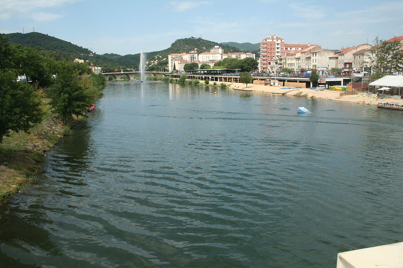


Course and landscape
The river rises in upland terrain associated with the Cévennes and descends through narrow valleys and garrigue-influenced countryside. It passes close to the town of Alès, which gives the watercourse its common name, and joins the main Gardon as a left tributary of the Gardon. Its profile shows a steeper gradient in upper reaches and gentler slopes nearer the confluence, reflecting typical upland to lowland transition.
Hydrology and flood behaviour
Draining part of the Cévennes, the Gardon d'Alès is subject to marked seasonal variability. Periodic heavy local storms can produce rapid rises in flow and short, intense flood events that influence channel form and surrounding land use. Management of flood risk is a local priority for municipalities, water agencies and landowners.
Ecology, uses and management
The riparian corridor supports Mediterranean and sub‑Mediterranean plant and animal communities. The river has historically supported small industries such as mills and provided water for agriculture and towns. Today its values include irrigation, urban supply near Alès, informal recreation (walking, angling, occasional paddling) and biodiversity. Local authorities and conservation groups work to improve water quality, control invasive species and preserve habitat connectivity while balancing recreational and agricultural demands.
Local significance and resources
- The name links the watercourse to the town of Alès and the broader Gardon basin.
- Administrative and environmental records are maintained by the departments of Lozère and Gard and regional bodies in Occitanie.
- General reference material on rivers and tributaries is available under topics labelled river and left tributary.
- Maps, planning documents and local guides provide further detail about access, conservation and flood prevention measures (departments, region, and municipal sources).
- For location data and additional cartography consult the coordinates entry and local basin information (France resources).
Questions and answers
Q: What are the coordinates of the Gardon d'Alès?
A: The coordinates of the Gardon d'Alès are 44°01′59″N 4°07′56″E / 44.03306°N 4.13222°E / 44.03306; 4.13222.
Q: Where is the Gard department located?
A: The Gard department is located in southeastern France, in the Occitanie region.
Q: What is the Gardon d'Alès?
A: The Gardon d'Alès is a river in southeastern France.
Q: What departments does the Gardon d'Alès flow through?
A: The Gardon d'Alès flows through the Lozère and Gard departments.
Q: Is the Gardon d'Alès a left or a right tributary of the Gardon river?
A: The Gardon d'Alès is a left tributary of the Gardon river.
Q: What region does the Gardon d'Alès flow through?
A: The Gardon d'Alès flows through the Occitanie region.
Q: In which part of France is the Gardon d'Alès located?
A: The Gardon d'Alès is located in southeastern France.
Related articles
Author
AlegsaOnline.com Gardon d'Alès Leandro Alegsa
URL: https://en.alegsaonline.com/art/37558
Sources
- services.sandre.eaufrance.fr : "Le Gardon d'Alès (V7150500)"
- geoportail.gouv.fr : "Source du Gardon d'Alès"
- geoportail.gouv.fr : "Confluence de Gardon Gardon d'Alès et Gardon d'Anduze"
- services.sandre.eaufrance.fr : "L'Avène (V7150720)"
- services.sandre.eaufrance.fr : "Le Galeizon (V7150620)"