Ganghwado (Ganghwa Island) — geography, history, and significance
Ganghwado (Ganghwa Island) is a large island at the mouth of the Han River in northwest South Korea, noted for its strategic history, natural features like Mani-san, and cultural sites within Incheon Municipality.
Overview
Ganghwado, commonly called Ganghwa Island in English, lies at the mouth of the Han River on the west coast of the Korean Peninsula. It is part of Incheon Municipality and occupies the majority of Ganghwa County. The island has played a prominent role in Korean history because of its position between the mainland and routes to the Yellow Sea, and it is today a mix of agricultural land, small urban centers and protected natural areas.
Image gallery
3 Images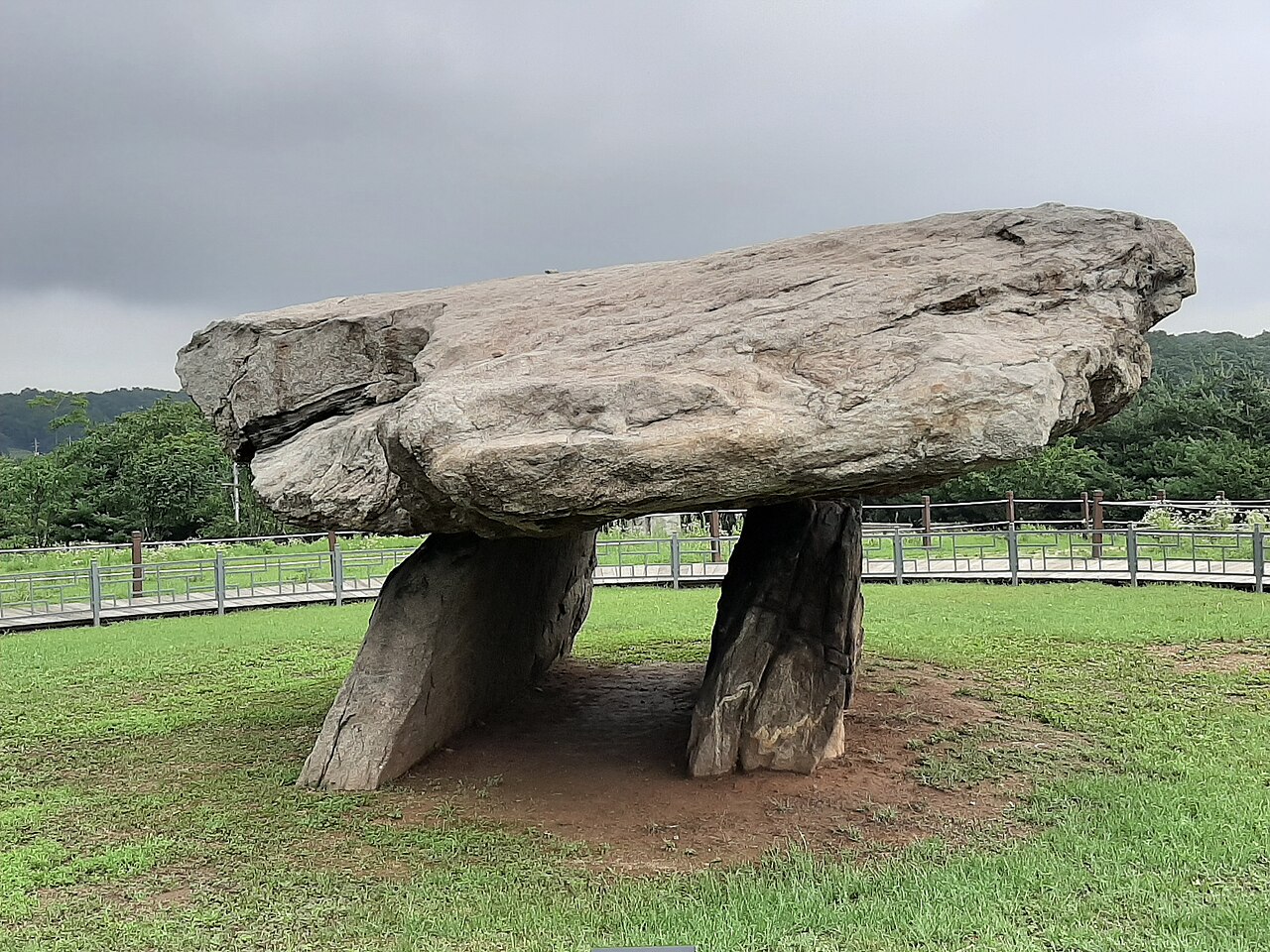


Geography and population
Ganghwado measures roughly 28 kilometres in length and 22 kilometres in width and covers an area of about 302 square kilometres, making it one of the larger islands in South Korea. A narrow tidal channel separates the island from the Gimpo area on the mainland; two road bridges provide permanent vehicular access. The main channel of the Han River runs nearby and faces the northern plain toward Gaeseong in what is now North Korea. Administratively the island is within Incheon, and its population is concentrated in towns such as Ganghwa-eup in the northeast.
Natural features
The island is notable for its varied terrain, from low coastal flats to steeper hills inland. Its highest summit, Mani-san, rises to about 469 metres and is a well-known vantage point offering views of tidal estuaries and surrounding farmland. Wetlands and mudflats around the island support coastal ecology and have been important for local fisheries and migratory birds.
History and strategic importance
Ganghwado's location made it strategically important during the 19th century as Korea opened to foreign contact. The island was the site of several foreign incursions and skirmishes in the late Joseon period, including conflicts involving French, American and Japanese forces in the 1860s–1870s. These events occurred as Korea was grappling with pressure from foreign powers and beginning a slow process of political change.
Economy, culture and tourism
Today the island combines agriculture—rice, vegetables and salt farms—with tourism and small industry. Visitors come for historical fortifications, traditional villages, temples, and hiking trails up Mani-san. Cultural festivals and local markets preserve crafts and cuisine that reflect Ganghwado’s rural character. Practical transport links to the mainland encourage day trips from the nearby metropolitan area.
Notable facts and distinctions
- Administrative role: Most of Ganghwa County is on the island, governed as part of Incheon.
- Size and rank: With an area near 302 km2, it ranks among South Korea's larger offshore islands.
- Historical incidents: 19th-century encounters with French, American and Japanese forces drew international attention to the island (South Korea studies discuss these events).
- Proximity to the north: Across the main channel lies land toward Gaeseong, historically significant and now part of discussions about the divided peninsula.
- Recreation and nature: Trails up Mani-san and coastal wetlands remain important for residents and visitors (Mani-san is a local landmark).
For further reading on Ganghwado's geography, administrative status and historical episodes, consult local government and academic resources or travel guides that cover the Incheon region and northwest Korea. Basic transport and visitor information is typically available through regional tourism offices and municipal websites (South Korea and Incheon portals).
Questions and answers
Q: Where is Ganghwa Island located?
A: Ganghwa Island is located on the west coast of South Korea, at the beginning of the Han River.
Q: How is Ganghwa Island separated from the mainland?
A: Ganghwa Island is separated from Gimpo on the mainland by a narrow channel that is connected by two bridges.
Q: What separates Ganghwa Island from North Korea?
A: The main channel of the Han River separates Ganghwa Island from Gaeseong in North Korea.
Q: What is the population of Ganghwa Island?
A: About 65,500 people live on Ganghwa Island.
Q: What is the highest point on Ganghwa Island?
A: The highest point on Ganghwa Island is Mani-san, which is 469 meters (1,539 feet) above sea level.
Q: What is the size of Ganghwa Island?
A: Ganghwa Island has an area of 302.4 square kilometers (116.8 square miles) and measures 28 kilometers (17 miles) long and 22 kilometers (14 miles) wide, making it the 4th largest island in South Korea.
Q: Why is Ganghwa Island historically significant?
A: Ganghwa Island is historically significant because of separate and brief attacks, including those made by the French in 1866, the United States in 1871, and the Japanese in 1875, during a time when Korea was emerging from isolation.
Related articles
Author
AlegsaOnline.com Ganghwado (Ganghwa Island) — geography, history, and significance Leandro Alegsa
URL: https://en.alegsaonline.com/art/37463
Sources
- kma.go.kr : "평년값자료(1981−2010) 강화(201)"
- tools.wmflabs.org : 37°42′N 126°26′E / 37.700°N 126.433°E / 37.700; 126.433