Chittoor district, Andhra Pradesh
Chittoor district in southern Andhra Pradesh: geography, history, economy, temples, crops and transport. An overview of demographics, administration, major pilgrimage sites and agricultural markets.
Overview
Chittoor district is located in the southern part of the Indian state of Andhra Pradesh and forms part of the Rayalaseema region. The administrative headquarters is the city of Chittoor. According to the 2011 national census the district had a population of about 4.17 million. The district combines agricultural plains, river valleys and hilly terrain and is well known for its religious sites, regional markets and road links to neighbouring metropolitan centres.
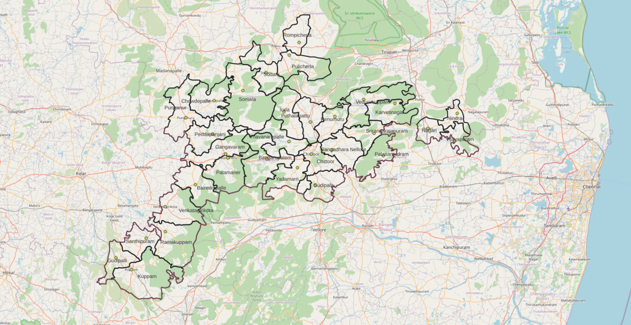
Image gallery
5 Images


Geography and climate
Chittoor occupies parts of the Poini river valley and adjacent undulating hills. The district lies close to the transportation corridor between Chennai and Bengaluru, which has shaped patterns of trade and migration. The climate is tropical, with hot summers, milder winters and most rainfall during the southwest and northeast monsoons. Variation in elevation and soils produces a mix of dryland and irrigated agricultural zones.
History and cultural significance
The area around Chittoor has long been a crossroads between the southern Deccan interior and the Coromandel coast. The district is internationally known for pilgrimage centres such as the Tirupati temple complex, one of the most visited Hindu temple sites, and the Kanipakam Vinayaka Temple. These religious centres attract millions of visitors each year and strongly influence the district economy, local crafts and seasonal employment.
Economy and agriculture
Agriculture remains a backbone of the district economy. Major crops include mangoes and cereals; commercial crops include sugarcane and groundnuts (peanuts). Chittoor is an important market centre for fruit, especially mangoes, and for pulses and oilseeds that are traded, processed and transported to other states. Small and medium enterprises related to food processing, transport services and religious tourism provide additional employment.
Transport, administration and services
Good road and rail connections link the district to neighbouring states and big cities, supporting both pilgrimage and commercial traffic. Major national and state highways cross the district and connect local towns to the Chennai–Bengaluru corridor. Administratively, the district is divided into revenue divisions, mandals and municipalities; local governance is carried out through elected bodies and a collectorate that coordinates development and public services. The state government of Andhra Pradesh implements many regional programmes affecting irrigation, roads and tourism infrastructure.
Notable features
- Major pilgrimage sites (Tirupati, Kanipakam) that drive hospitality and retail sectors.
- Large agricultural markets for mangoes, cereals and industrial crops.
- Cultural festivals, crafts and a mix of rural and urban livelihoods.
- Strategic position along routes linking Chennai and Bengaluru, important for trade and labour movement.
Chittoor district illustrates the interaction of agriculture, religion and transit-led commerce typical of many districts in southern India. Ongoing priorities for the area include improving water management, upgrading transport and market infrastructure, and balancing conservation of temple precincts with the needs of pilgrims and local residents. For further local information and administrative contacts see the district pages and tourism guides maintained by regional authorities and visitor organisations.
References to major nearby urban centres and transport routes: Chennai, Bengaluru, and regional administration links: state overview, state government. Local agricultural and crop information: sugarcane production and groundnuts.
Questions and answers
Q: What is the population of Chittoor district according to 2011 census?
A: The population of Chittoor district according to 2011 census is 4,170,468.
Q: Where is the district headquarters located?
A: The district headquarters of Chittoor district is located in Chittoor.
Q: What are some major temples in this region?
A: Some major temples in this region include Tirupati and Kanipakam.
Q: What type of geographical features can be found in this area?
A: This area lies in the Poini river valley of southernmost Andhra Pradesh along the Chennai – Bangalore section Chennai-Mumbai highway.
Q: What types of products are commonly sold at markets here?
A: Commonly sold products at markets here include mangoes, grains, sugarcane, and peanuts.
Related articles
Author
AlegsaOnline.com Chittoor district, Andhra Pradesh Leandro Alegsa
URL: https://en.alegsaonline.com/art/19860
Sources
- censusindia.gov.in : "Census of India 2011"
- censusindia.gov.in : censusindia.gov.in/census.website
- census2011.co.in : "District Census 2011"
- cia.gov : "Country Comparison:Population"
- 2010.census.gov : "2010 Resident Population Data"
- rchiips.org : "District Level Household and Facility Survey (DLHS-3), 2007-08: India. Andhra Pradesh"
- india.gov.in : "How Do I? : Obtain Marriage Certificate"