
List of rivers of Honduras
Organized list and overview of Honduras's rivers, their drainage patterns, main basins, uses, and conservation notes, with representative rivers arranged roughly from east to west.
This article surveys the principal rivers of Honduras and explains how they are grouped by drainage. For general information on rivers see rivers. Tributary relationships and smaller streams are an important part of the river network; see also tributaries for terminology and examples.
Image gallery
4 Images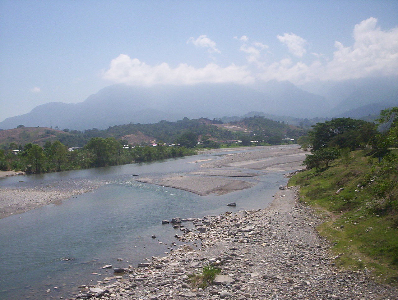


Overview
Honduras is drained mainly toward the Caribbean Sea and, at its southern tip, into the Pacific Ocean via the Gulf of Fonseca. Rivers originate in the interior highlands and mountain ranges, collecting rainfall from a tropical climate. They vary from fast, narrow mountain streams to broad lowland rivers that cross floodplains and coastal plains before reaching the sea.
Characteristics and significance
Many Honduran rivers are seasonal but carry large volumes in the rainy season and during tropical storms. They support productive coastal plains, are used for irrigation, local transport, and hydropower, and form important aquatic and riparian habitats. Some rivers flow through protected areas such as the Río Plátano biosphere reserve, noted for its biodiversity.
Major rivers by drainage (representative, east to west)
- Caribbean drainage (eastern and central Honduras)
- Patuca — one of the country's largest river systems
- Guayape (major tributary)
- Guayambre (major tributary)
- Río Plátano — flows through the Río Plátano biosphere reserve
- Coco (also called Wanks) — forms part of the border with Nicaragua
- Cangrejal — a short, fast river near La Ceiba known for whitewater recreation
- Aguán — drains coastal plains to the north
- Patuca — one of the country's largest river systems
- Central basins
- Ulúa — an economically important river in the Sula Valley
- Humuya (tributary)
- Chamelecón (tributary)
- Ulúa — an economically important river in the Sula Valley
- Pacific/Gulf of Fonseca drainage (southern Honduras)
- Choluteca — runs past the capital region toward the Gulf of Fonseca
- Goascorán — forms part of the border with El Salvador
- Nacaome — a smaller coastal river flowing to the Gulf of Fonseca
Uses, management and conservation
Rivers in Honduras are central to agriculture and local livelihoods; they are tapped for irrigation and small- to medium-scale hydropower. At the same time, many watersheds face pressure from deforestation, land-use change, sedimentation and pollution. Conservation efforts focus on protecting headwaters, riparian forests and protected areas that conserve freshwater biodiversity.
Notes and distinctions
Lists of rivers may be compiled differently depending on whether they include minor streams, seasonal arroyos, or only perennial rivers. This article presents a representative arrangement by drainage from east to west, with larger rivers and some of their better-known tributaries highlighted. For further detail on river terminology and hydrology see the linked topics above.
Related articles
Author
AlegsaOnline.com List of rivers of Honduras Leandro Alegsa
URL: https://en.alegsaonline.com/art/125013
Sources
- maps.google.com : Google Maps